The history of Interstate 8
The history of Interstate 8
Spanning more than 350 miles from its westernmost point in San Diego to its eastern terminus at the Interstate 10 junction in Casa Grande, Interstate 8 is a primary route for travel in the Southwest.
Here’s the history of how the highway came to be.
The Interstate Highway System is one of the defining products of Dwight D Eisenhower’s presidency and I-8 was one of the first designations approved in 1957
I-8 opened to traffic in 1964 and was completed in 1978 when the final stretch over the Colorado River was finished.
Much of where I-8 travels follows the path of US 80, which is known as the “Mother of Arizona Highways,” particularly the stretch from Gila Bend to Yuma. US 80 was eventually decommissioned as a result of the completion of I-8 and construction of I-10.
Part of what makes I-8 fascinating is the highway has the lowest dry-land elevation point of any interstate in the country (I-8 near Seeley in California’s Imperial County) and it only intersects with one US highway (US 95 in Yuma).
So, the next time you travel in Southern Arizona on Interstate 8, you’ll know the history behind the highway.
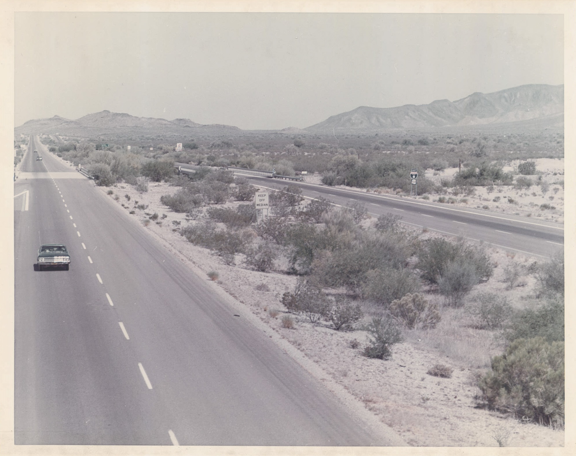
Photo: Interstate 8 from the 1970s between Casa Grande and Gila Bend.