Where Arizona rivers part ways
Where Arizona rivers part ways
Most people have heard of the Continental Divide, that topographic spine running down the western side of North and South America that serves as a hydrological tipping point and determines whether water will ultimately run into the Atlantic or Pacific oceans. There's even a spot in Arizona that's erroneously marked as part of the Continental Divide, despite being 150 miles to the west.
But did you know that Arizona has its own divide? Though not as impressive as its geographical big brother, there is a tipping point where water will either run north or northwest into the Colorado River watershed or south or southwest into the Gila River watershed. So water on one side might flow into the Little Colorado River and be sent plunging over Grand Falls or crashing through the rapids near the Grand Canyon. Water on the other side of the divide might flow over the beautiful red rocks of Oak Creek Canyon or wind its way through the Salt River reservoir lakes, from Roosevelt to Saguaro, before winding up in the Gila.
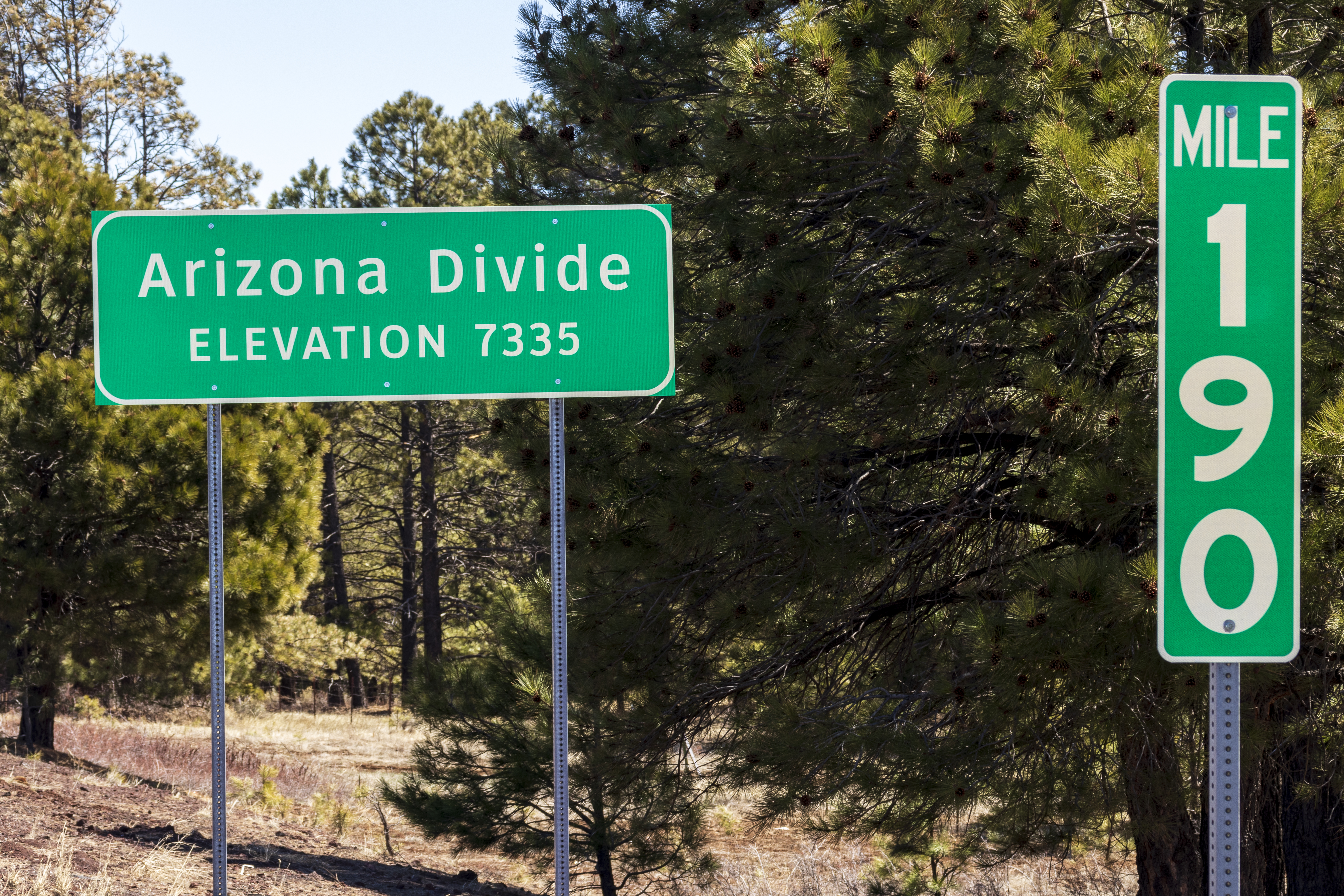
Where exactly could one find this all important spot where the navigational fate of the state's water is decided? Well, right off a handy state highway, of course! The divide is along Interstate 40 at milepost 190, which is just west of the community of Riordan and roughly 5 miles west of downtown Flagstaff. It's even clearly marked, complete with elevation, by one of our spiffy highway signs, as you can see in this photo.
Of course, those who know their watersheds realize the divide is for a short time only, as the Gila eventually flows into the Colorado near Yuma. It may all end up in the same place, but the routes to get there are numerous and extraordinary. Much like the state highway system itself, which will get you to this water-parting point and wherever else you feel like flowing.