Canyon Lake Bridge: Tiny Bridge, Big History
Canyon Lake Bridge: Tiny Bridge, Big History
The Canyon Lake Bridge, which sits a few miles west of Tortilla Flat along the State Route 88 Apache Trail, owes its existence to construction of a dam.
In the early 1920s, as the Mormon Flat Dam neared completion, the Salt River Valley Water Users’ Association was tasked with building a new road and two new bridges. One of the bridges became the Canyon Lake Bridge.
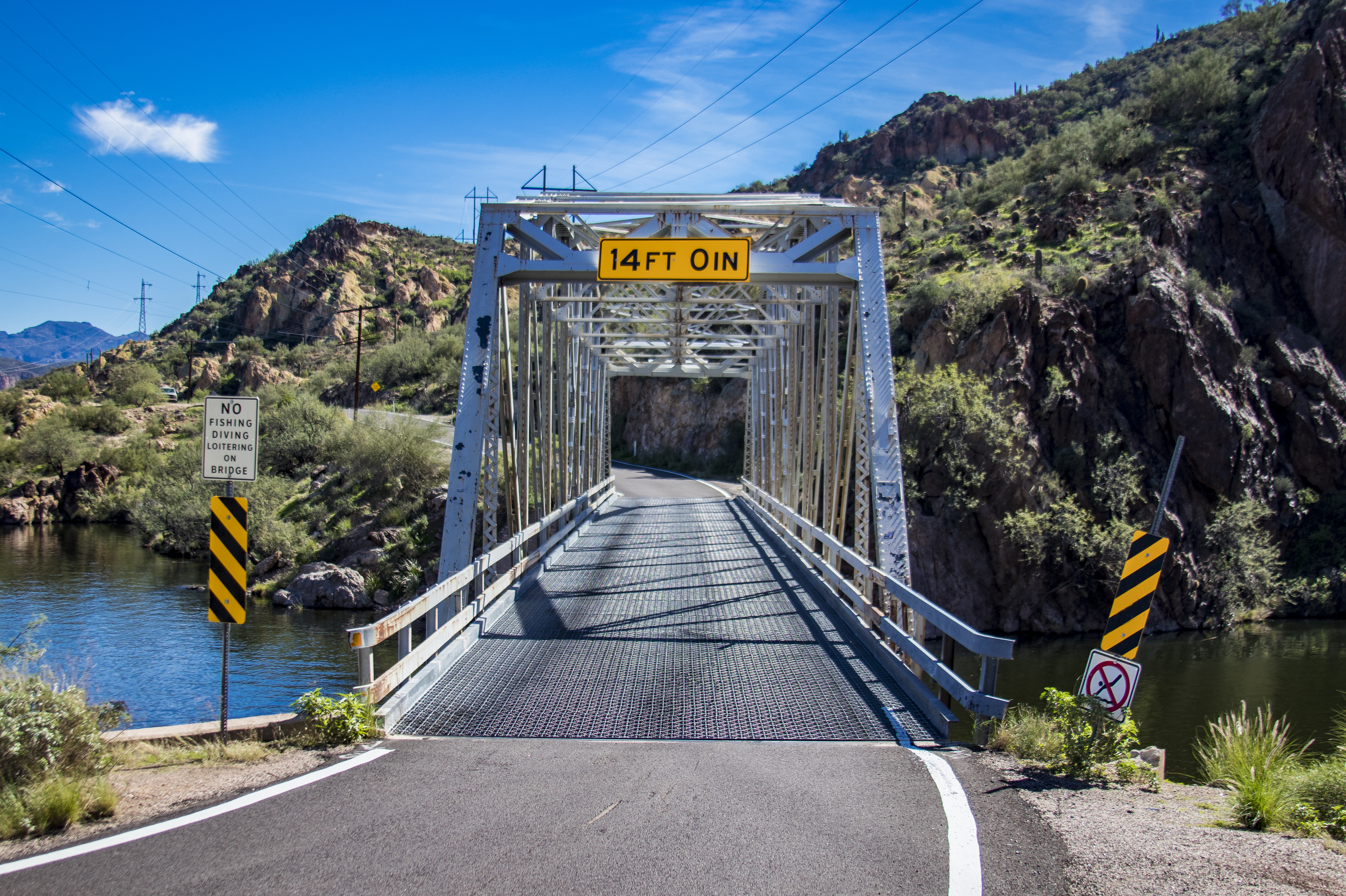
The bridge was designed and built with relative speed, beginning in September 1924 and finishing in February 1925. The bridge has functioned in place since, with the only modification being a replacement of the original deck with a steel grid deck.
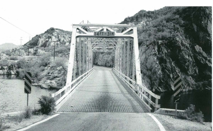
This one-lane bridge has what’s called a Camelback truss, an arched top with five sections that looks like a camel’s back from afar. This design not only distributes stress efficiently, it allows less material to be used. A similar design was used for bridges atop Gillespie Dam and Walnut Canyon. (The black and white photo shows the bridge as it appeared in 2003.)
The Canyon Lake Bridge is an integral part of the Apache Trail, and continues carrying traffic on one of Arizona’s most scenic roads.