Reminder: ADOT seeks public input on Sonoran Corridor in Pima County
Reminder: ADOT seeks public input on Sonoran Corridor in Pima County
Comment sought through July 18 on engineering, environmental study
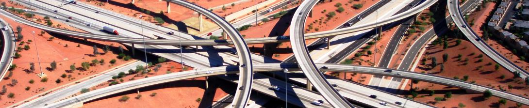
TUCSON – The Arizona Department of Transportation is reminding the public that it is seeking comment through Friday, July 18, on an engineering and environmental study of the Sonoran Corridor, a proposed freeway in the Tucson region that would connect Interstates 19 and 10, south of Tucson International Airport.
Study outreach materials, such as the presentation from a public meeting, display boards, and a fact sheet, can be viewed on the study website: azdot.gov/SonoranCorridor.
The study will evaluate potential build alternatives for the Sonoran Corridor alignment, interchange locations and other features, as well as a no-build – or do nothing – alternative. The study will ultimately identify a selected alternative based on public, agency and tribal government input and technical analyses.
During the current study phase, ADOT is seeking public input on the project’s preliminary purpose and need, preliminary range of alternatives for the freeway alignment and other considerations to be evaluated in the study.
The public can provide comments on the Sonoran Corridor in the following ways:
- Take the online survey: https://www.surveyhero.com/c/SonoranCorridor
- Call the Bilingual Project Information Line: 855.712.8530
- Email the project team: [email protected]
- Mail to: ADOT Sonoran Corridor Study Team, c/o Gordley Group, 2540 N. Tucson Blvd., Tucson, AZ 85716
The corridor, also known as State Route 410, is under study to: improve vehicle mobility and the transportation system, improve access to existing and future activity centers, reduce persistent traffic backups and road congestion, address existing and future high-growth areas, improve and shorten east-west freight movement to and from Mexico and southern Arizona, add a faster connection to Tucson International Airport and shorten east-west freight movement between southern Arizona and Mexico.
Ultimately the study will:
- Refine the purpose and need of the proposed project
- Develop and evaluate a range of 400-foot-wide freeway alignment alternatives within the 2,000-foot corridor, including a “no-build” alternative
- Evaluate environmental considerations and proposed mitigation
- Develop design concepts and features, such as interchange locations and bridges
- Provide opportunities for public and stakeholder input throughout the process
- Select a preferred freeway alternative, which would include the alignment, interchange locations and other design features