Southbound SR 143 to close between Loop 202 (Red Mountain Freeway) and I-10 (Aug. 23-26)
Southbound SR 143 to close between Loop 202 (Red Mountain Freeway) and I-10 (Aug. 23-26)
Expect delays and detours
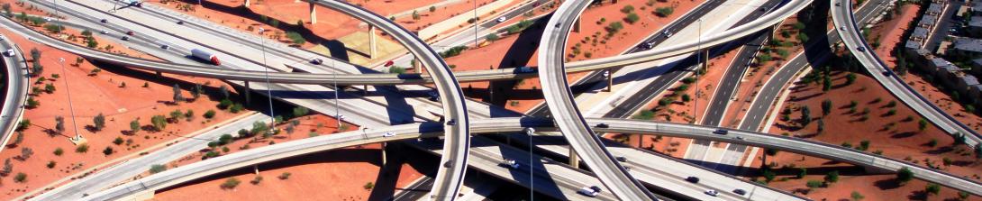
PHOENIX – The Arizona Department of Transportation is advising motorists to plan ahead and expect delays as southbound State Route 143 will be closed between Loop 202 (Red Mountain Freeway) and I-10 from 10 p.m. Friday, Aug. 23, to 4 a.m. Monday, Aug. 26, for a traffic shift. At the same time, the ramps from Loop 202 (Red Mountain Freeway) to southbound SR 143 will be closed.
The following ramps will also be closed from 8 p.m. Friday, Aug. 23, to 4 a.m. Monday, Aug. 26:
- The southbound SR 143 on-ramps at McDowell Road, Washington Street, Sky Harbor Boulevard and University Drive
- The westbound Loop 202 (Red Mountain Freeway) off-ramp at Sky Harbor Boulevard
Westbound Loop 202 (Red Mountain Freeway) Detour: Use westbound Loop 202 to eastbound I-10 to access destinations south of the closure.
Eastbound Loop 202 (Red Mountain Freeway) Detour: Use eastbound Loop 202 to southbound Loop 101 (Price Freeway) to westbound US 60 to access destinations south of the closure.
Airport Access: Use northbound SR 143 or southbound 44th Street from Loop 202 (Red Mountain Freeway).
Southbound SR 143 to eastbound I-10 flyover ramp to open: When southbound SR 143 reopens, drivers can expect a new lane configuration:
- Southbound 48th Street will be closed between I-10 and Broadway Road. This closure is expected to last into September.
- Drivers should use the new southbound SR 143 flyover ramp to access eastbound I-10. To access southbound 48th Street, use westbound I-10 to southbound 40th Street to eastbound Broadway Road.
Please note: The Arizona Department of The Arizona Department of Transportation advises drivers to use designated detours when there are closures on state highways. Schedules can quickly change because of weather and other unforeseen situations. For the most up-to-date information, we encourage you to download the Interstate 10 Broadway Curve Improvement Project’s free mobile app, TheCurve or visit the Alerts section of the project website before you travel.
###
The I-10 Broadway Curve Improvement Project is identified in the Maricopa Association of Governments’ Regional Transportation Plan, funded by a half-cent sales tax approved by Maricopa County voters in 2004 through Proposition 400. MAG identified the need for this project to reduce travel times on I-10 during peak hours; improve airport access; support ridesharing and transit; and prepare the region for future growth projections. Learn more about the major improvements here.