Westbound I-10 to close between US 60 and 40th Street (Nov. 17-20)
Westbound I-10 to close between US 60 and 40th Street (Nov. 17-20)
Drivers should expect delays and plan for detours
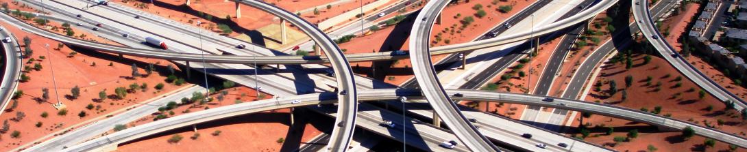
PHOENIX – The Arizona Department of Transportation is advising motorists to plan ahead and anticipate delays as westbound I-10 will be closed between US 60 and 40th Street from 10 p.m. Friday, Nov. 17 to 4 a.m. Monday, Nov. 20 for a traffic shift. The following ramps will also be closed:
- The ramps from westbound US 60 to westbound I-10
- The westbound I-10 ramps at Elliot, Baseline and Broadway roads.
- The westbound US 60 on-ramps at McClintock Drive, Rural Road and Mill Avenue
Westbound I-10 detour: Use eastbound Loop 202 (Santan Freeway) or eastbound US 60 to northbound Loop 101 (Price Freeway) to westbound Loop 202 (Red Mountain Freeway) to access westbound I-10. Drivers heading to the West Valley can bypass the work zone by using Loop 202 (South Mountain Freeway) west and north to connect with I-10 at 59th Avenue.
Motorists traveling westbound on I-10 and US 60 heading to Phoenix Sky Harbor International Airport should use northbound Loop 101 (Price Freeway) to westbound Loop 202 (Red Mountain Freeway) and use the Sky Harbor Boulevard entrance.
New westbound lane configuration: When the freeway reopens, the existing lanes between Broadway Road and 40th Street will be split with roadway barriers and work zones in between lanes. Drivers wishing to exit onto northbound SR 143 should select the right two lanes. Drivers wishing to exit onto 40th Street should select the middle two lanes.
NOTE: Several other ramp and lane closures are also scheduled this weekend.
Please note: Schedules can quickly change because of weather and other unforeseen situations.
# # #
The I-10 Broadway Curve Improvement Project is identified in the Maricopa Association of Governments’ Regional Transportation Plan, funded by a half-cent sales tax approved by Maricopa County voters in 2004 through Proposition 400. MAG identified the need for this project to reduce travel times on I-10 during peak hours; improve airport access; support ridesharing and transit; and prepare the region for future growth projections.