List of Scenic Roads
List of Scenic Roads
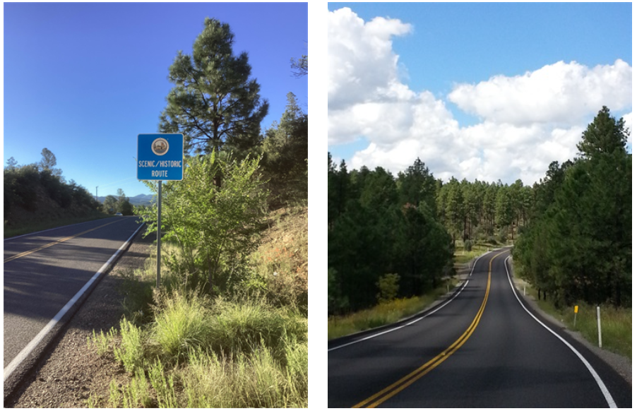
This page contains an inventory and highlighted descriptions of scenic roads throughout the state. They are located in five marketing regions delineated by the Arizona Office of Tourism.
Arizona's West Coast
Covers the western part of the state and includes the counties of Mohave, La Paz and Yuma
Historic Route 66 All-American Road (Topock to Ash Fork)
")
Roadway: Mohave County Highway, Oatman Road, State Route 66, Yavapai County Highway
Length: 152 miles
Points of Interest:
- Oatman
- Powerhouse Museum (Kingman)
- Mohave Museum of History and Art (Kingman)
- Keepers of the Wild Nature Park (Valentine)
- Grand Canyon Caverns
North Central:
Covers the north central part of the state to the New Mexico state line and includes the counties of Yavapai, Gila, Graham and Greenlee
Coronado Trail National Scenic Byway

Roadway: US 191 and 180
Length: 103 miles
Points of Interest:
- Apache-Sitgreaves National Forest
- Nelson Reservoir
- Hannagan Meadow
- Morenci Open Pit Copper Mine
- Casa Malpais Indian Ruins and Archaeological Park (Springerville)
Desert to Tall Pines Scenic Road

Roadway: State Route 288
Length: 74 miles
Points of Interest:
- Tonto Natural Bridge State Park (Payson)
- Pleasant Valley Cemetery (Young)
Dry Creek Scenic Road

Roadway: State Route 89A
Length: 7 miles
Points of Interest:
- Red Rock State Park (Sedona)
- Page Springs Hatchery
Jerome-Clarkdale-Cottonwood Historic Road

Roadway: State Route 89A
Length: 10 miles
Points of Interest:
- Jerome Historic District
- Historic Downtown Clarkdale
- Old Town Cottonwood Historic District
- Tuzigoot National Monument (Clarkdale)
- Dead Horse Ranch State Park (Cottonwood)
- Verde Canyon Railroad (Clarkdale)
- Sycamore Canyon Wilderness
Joshua Forest Scenic Road (Wikieup to Wickenburg)
")
Roadway: US 93
Length: 54 miles
Points of Interest:
- Hassayampa River Preserve
- Desert Caballeros Western Museum (Wickenburg)
- Historic Wickenburg
- Wikieup Trading Post (Wikieup)
Mingus Mountain Scenic Road

Roadway: State Route 89A
Length: 12 miles
Points of Interest:
- Prescott National Forest
- The Phippen Museum (Prescott)
- Granite Dells
- Mingus Mountain Recreation Area
Red Rock All-American Road

Roadway: State Route 179
Length: 8 miles
Points of Interest:
- Bell Rock / Courthouse Butte / Spaceship Rock
- Cathedral Rock
- Chapel of the Holy Cross
Swift Trail Parkway

Roadway: State Route 366
Length: 25 miles
Points of Interest:
- Discovery Park (Safford)
- Mount Graham Observatory
- Angle Orchard (Mount Graham)
- Roper Lake State Park (Safford)
- Riggs Flat Lake
Walker Scenic Road
Roadway: County Route 57
Length: 7.5 miles (from Milepost 0.35 to Milepost 7.82)
Points of Interest:
- Lynx Creek Ruins
- Ghost Town of Howell's and Howell's Smelter site, 1882 (located near #10)
- Highlands Center for Natural History
- Bank Vault Mine
Learn more about Walker Scenic Road by visiting Yavapai County.
Northern:
Covers the northern part of the state to the Utah state line and includes the counties of Coconino, Navajo and Apache
Diné Tah (Among the People) Scenic Road
 Scenic Road")
Roadway: Navajo Routes 12 and 64
Length: 100 miles
Points of Interest:
- Canyon de Chelly National Monument (Chinle)
- Window Rock Tribal Park (Window Rock)
- Navajo Nation Tribal Headquarters (Window Rock)
- Navajo Nation Museum (Window Rock)
- Ned A. Hatathli Museum (Tsaile)
Fredonia-Vermillion Cliffs Scenic Road

Roadway: US 89A
Length: 82 miles
Points of Interest:
- Vermillion Cliffs National Monument
- Kaibab National Forest
- Navajo Historic Bridge and Interpretive Center
- House Rock Wildlife Area
- Lees Ferry Historic Site
Historic Route 66 All-American Road (Ash Fork to Lupton)
")
Roadway: B 40, US 89 and 180, Flagstaff City Highway, Coconino County Highway
Length: 30 miles
Points of Interest:
- Grand Canyon Railway (Williams)
- Sunset Crater Volcano National Monument
- Wupatki National Monument
- Meteor Crater
- La Posada Hotel (Winslow)
- Native American Dances (Holbrook)
- Petrified Forest National Park and Painted Desert
Kaibab Plateau-North Rim National Scenic Byway

Roadway: State Route 67
Length: 30 miles
Points of Interest:
- North Rim of the Grand Canyon
- Grand Canyon Lodge
- Kaibab Plateau Visitors Center
Kayenta-Monument Valley Scenic Road

Roadway: US 163
Length: 28 miles
Points of Interest:
- Monument Valley Navajo Tribal Park
- Navajo National Monument / Betatakin Ruins
- Goulding's Lodge, Museum and Trading Post
Naat'tsis'aan-Navajo Mountain Scenic Road

Roadway: State Route 98
Length: 66 miles
Points of Interest:
- Antelope Canyon-Lake Powell Navajo Tribal Park (Page)
- Antelope Point Marina (Lake Powell)
- Navajo Mountain
- Shonto Trading Post
San Francisco Peaks Scenic Road

Roadway: US 180
Length:
Points of Interest:
- Coconino National Forest (Flagstaff)
- Lowell Observatory (Flagstaff)
- Snowbowl Ski Area (Flagstaff)
- Museum of Northern Arizona (Flagstaff)
- Lava River Cave
Sedona-Oak Creek Canyon Scenic Road

Roadway: State Route 89A
Length: 15 miles
Points of Interest:
- Oak Creek Vista
- Grasshopper Point
- Slide Rock State Park
- Downtown Sedona
- Sedona Heritage Museum
Tse'nikani-Flat Mesa Rock Scenic Road

Roadway: US 191
Length: 45 miles
White Mountain Scenic Road

Roadway: State Route 260
Length: 67 miles
Points of Interest:
- Sunrise Ski Resort, Lake and Chairlift
- Hawley Lake
- Town of Greer
- Little House Museum
White River Scenic Road

Roadway: State Route 73
Length: 11 miles
Points of Interest:
- Alchesay / Williams Creek National Fish Hatchery Complex
- White Mountain Apache Cultural Center (Fort Apache)
- Kinishba Ruin
Phoenix and Central:
Covers the area west of metropolitan Phoenix and includes the counties of Maricopa and Pinal
Apache Trail Historic Road

Roadway: State Route 88
Length: 40 miles
Points of Interest:
- Goldfield Ghost Town
- Lost Dutchman State Park (Apache Junction)
- Tonto National Monument
Copper Corridor Scenic Road (SR 77)
")
Roadway: State Route 77
Length: 35 miles
Points of Interest:
- Aravaipa Canyon Preserve
- Biosphere 2 (Oracle)
Copper Corridor Scenic Road (SR 177)
")
Roadway: State Route 177
Length: 20 miles
Points of Interest:
- Aravaipa Canyon Preserve
- Biosphere 2 (Oracle)
Gila-Pinal Scenic Road

Roadway: US 60
Length: 35 miles
Points of Interest:
- Boyce Thompson Arboretum (Superior)
- Besh-Ba-Gowah Archaeological Park
Tucson and Southern:
Covers the area west and south of metropolitan Tucson and includes the counties of Pima, Santa Cruz and Cochise
Organ Pipe Cactus Parkway

Roadway: State Route 85
Length: 25 miles
Points of Interest:
- Ajo
- Organ Pipe National Monument
Patagonia-Sonoita Scenic Road

Roadway: State Routes 82 and 83
Length: 57 miles
Points of Interest:
- Patagonia-Sonoita Creek Preserve
- Empire-Cienega Resource Conservation Area
- Arizona Southern Wine Trail
- Patagonia Lake State Park (Patagonia)
- Pete's Kitchens Outpost (Nogales)
- Imperial Alta Historical Society Museum (Nogales)
- Kentucky Camp Historic Site (Sonoita)
Sky Island Parkway (Catalina Highway) National Scenic Byway
 National Scenic Byway")
Roadway: Forest Service 833, 10 and 11
Length: 27 miles
Points of Interest:
- Coronado National Forest
- Mount Lemmon Ski Valley