Interactive site makes it a snap to find next 5 years of ADOT projects
Interactive site makes it a snap to find next 5 years of ADOT projects
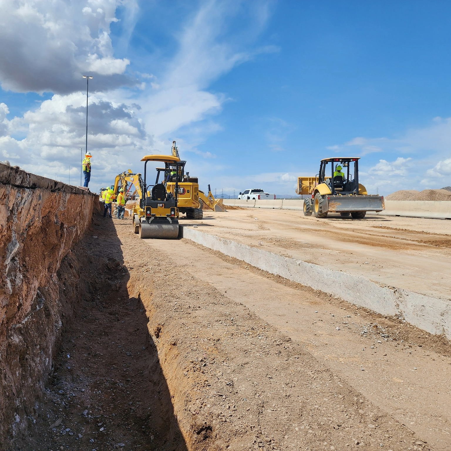
You may have seen that the State Transportation Board approved the latest update of projects ADOT will undertake in the next five years, but with $11.5 billion of planned investments across hundreds of projects, it might seem daunting to figure out what that means for you.
We’re making it easy to make sense of it all with an interactive map at azdot.gov/Final5YearDashboard. It lets you check for projects by highway, county and other categories that are part of ADOT’s five-year construction program for the fiscal years of 2026-2030.
While the site’s central feature is a map showing the location of each project, there’s also information such as timelines and funding sources.
Pull up the site and look around.
Let’s say you want to look for projects on I-40 near Flagstaff. You could select Coconino County on the left column and the map will zoom in on that part of the state. Red lines, or sometimes red dots, show project areas that you can then click on. A box on the upper right offers a description, which could include steps like designing the project, acquiring right of way or actual construction.
In the case of Coconino County, you’ll see several red lines spanning multiple highways. Click on the red line in the Flagstaff area and you’ll see a 13-mile pavement project is planned along I-40.
You could also check for I-40 projects via the search bar under “Project List.” Once again, red lines will pop up on the map showing where projects are planned.
One search function in the left column is especially helpful when you’re searching for specific areas, but first a bit of government jargon-to-English translation might be helpful. You’ll see that the second search category in the column is COG/MPO, which are acronyms for council of governments and metropolitan planning organizations. These are regional planning organizations for local projects, including the Maricopa Association of Governments for the Phoenix area and the Pima Association of Governments for the Tucson area.
Whether it’s MAG, PAG or one of the other groups listed, you may see projects on local roads, projects on ADOT highways or a combination. Blue lines and dots indicate a local project.
One additional quick tip: Look on the lower right for a green circle that will appear after you’ve searched for something. Click on that between searches to reset the filter.
Finally, there’s another way to check on projects that are current without sorting through quite as much information. You can visit ADOT’s project page, azdot.gov/projects, and search by region for projects that are about to begin, underway, or recently completed.