Throwback Thursday: The old scenic route
Throwback Thursday: The old scenic route
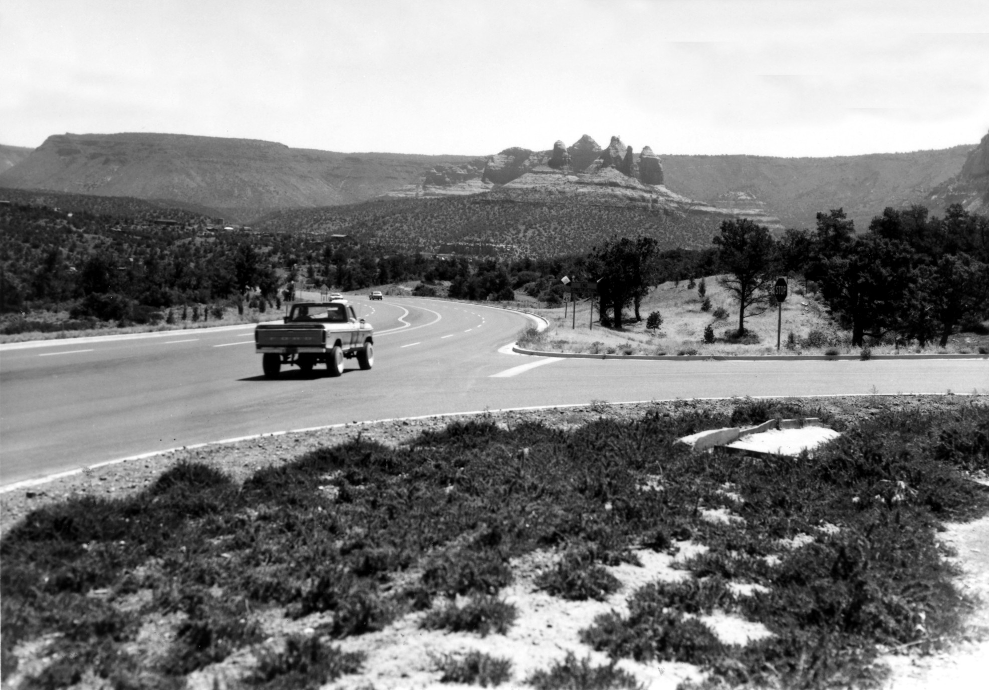
Like most photos we throwback to, today's featured photo also comes to us undated. It is simply labeled "SR89A East Sedona."
We hardly need to be told that last part, as the distinctive rock formations on the road heading toward Oak Creek Canyon speak for themselves, as they have done since long before any human eyes were around to gaze on them.
The fact that the photo is labeled "SR89A" may give us a clue to when it was taken. Before we get to that, a little history is in order.
The route between Prescott and Flagstaff, including the path through Sedona's famous red rocks, was first established in 1927 as Arizona 79. In the 1940s it was designated US 89A, being the alternative to US 89, the north-south highway that ran between Utah and Nogales. US 89 went north from Prescott through Chino Valley before connecting with US 66 to take drivers to Flagstaff and then north up to the state line.
In 1993, US 89 was truncated at Flagstaff in Arizona and the US 89 designation going further south was decommissioned. The route between Prescott and Ash Fork on Interstate 40 became State Route 89. That meant the old alternate route through Sedona was logically redesignated State Route 89A.
Since the photo labels this as "SR89A" instead of "US89A," it was likely taken after 1993. But even if the labeling is a mistake or anachronism, this photo is a good reminder that if you've never driven through Sedona, then you are missing out on one of the state highway system's most scenic drives.