Throwback Thursday: The turning point
Throwback Thursday: The turning point
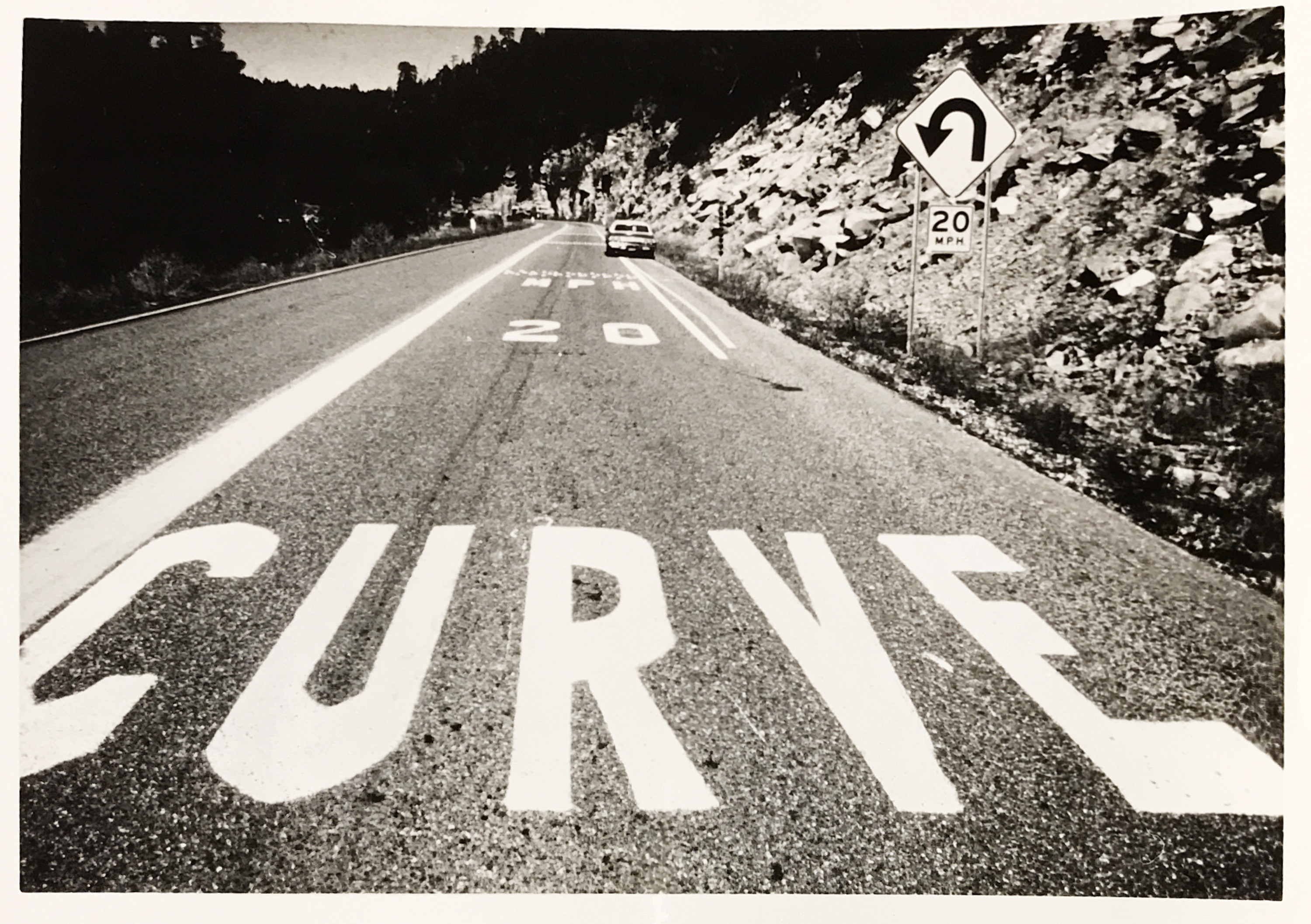
Today's photo should look familiar to anyone who has driven north of Payson on State Route 87.
About 20 minutes past Payson, you reach the forest communities of Pine and Strawberry. And then, just on the far side of Strawberry, the road begins to make its way up the side of the Mogollon Rim.
As part of that climb, the highway takes a tight bend to follow the contour of the Rim. This photo shows the highway markings and rumble strips put on the road to warn vehicles to slow down as they approach this curve. The photo is undated (though the car in the background is pretty good context), but it gives us the chance to talk about this scenic stretch of State Route 87.
Much has been written about the building of Beeline Highway, which made a straighter, faster route between the Valley and Payson – our own history of state transportation devotes a whole section to it – but there is a good deal less information out there about the road going north from there.
Here's what we do know. A 1927 state map shows a road, though definitely not a state highway, heading between Roosevelt and Payson, with an even less developed road heading north of Pine to Winslow. State Route 87 had made it to Payson and Strawberry by 1959, and a 1961 map of the state shows an "improved road" – graded and maintained with a top layer of gravel, but not yet paved – heading north from Strawberry. This road did become paved between Clints Well and Winslow (closer to the latter) and was dubbed State Route 65. By 1968, State Route 87 had replaced State Route 65 and ran the entire length of its current route between Picacho in the south and Second Mesa on the Hopi Reservation in the north.
And that's the route you can take today if you want to see some impressive views of both the Rim and the Coconino and Tonto national forests. Just please remember to slow down at the curve.