How tropical moisture fuels Arizona's wild monsoon weather
How tropical moisture fuels Arizona's wild monsoon weather
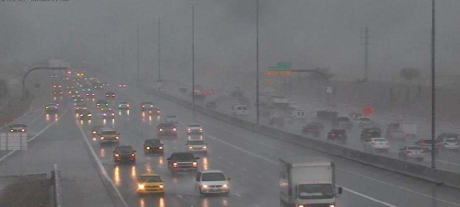
Traffic in the Rain
By Ray Greely / ADOT Meteorology Intern
Monsoon rains are forecast to return to Arizona on Tuesday. Strong winds, blowing dust, heavy rain and lightning often accompany these storms from June through September.
Have you ever wondered what climatological features are responsible for these seasonal thunderstorms or why these storms often move from the east to west? We'll explain that and look at the reason why Tropical Storm Javier may bring heavy rain to the state this week.
The monsoon high pressure system
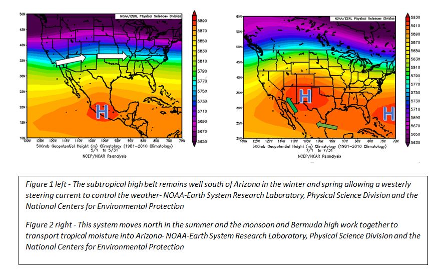
One critical ingredient to the Arizona monsoon is the sub-tropical or monsoon high that's part of a high-pressure belt forming along the northern flank of the tropics. During the winter and spring, this belt moves well south of Arizona, allowing for a westerly steering current to control Arizona’s weather. In the summer, it shifts north. This weakens and can even reverse the westerly flow depending on where it positions itself in relation to the state.
Winds flow out of any high pressure system in a clockwise direction. It is common for the monsoon high to become centered just east of Arizona and then drift north and south throughout the summer. If it moves south of the state, the flow around it will bring dry midlevel winds from the west and, usually, hot and dry weather. When it moves north of the state, a more tropical flow allows tropical moisture and disturbances to enter the state from the east.
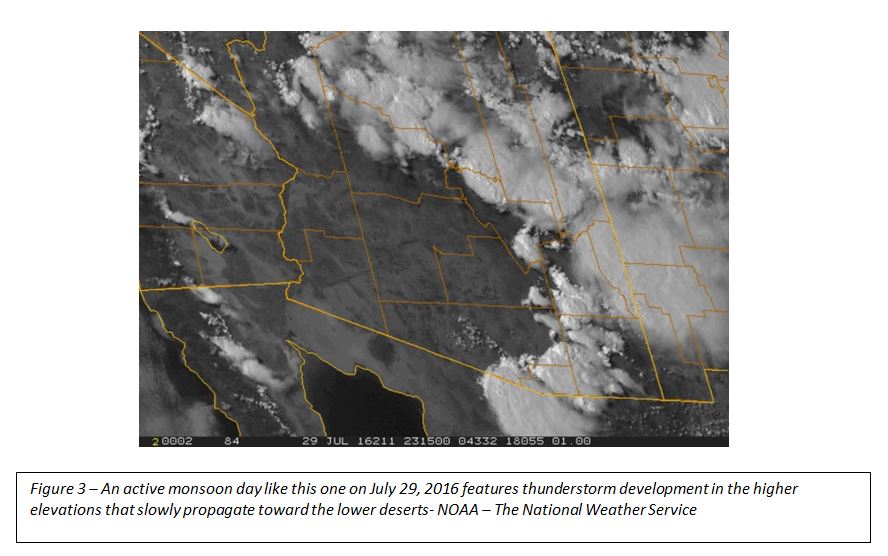
System movement
Moisture sources
Thee significant moisture sources influence the Arizona monsoon.
The first is the Gulf of Mexico, where a high pressure system known as the Bermuda High becomes centered over the western Atlantic Ocean east of the southeast U.S. coast, bringing midlevel winds and moisture into central Mexico. While a significant amount of low-level moisture is blocked by mountain ranges, mid- and upper-level moisture can eventually settle in the Mexican states of Chihuahua and Sonora and then get funneled into Arizona.
Moisture from the Gulf of California is distributed into Arizona via a process known as the gulf surge. This begins when tropical disturbances bring unsettled and relatively cooler weather to areas adjacent to the southern Gulf of California while hot dry conditions persist in the areas to the north. A pressure gradient between the two regions forms, and air begins flowing toward the low pressure area in the hot north. This breeze transports low-level moisture through the northern gulf region into Arizona.
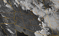
The third source is tropical cyclones that form in the eastern Pacific and wander close to the west coast of Mexico. Occasionally they get caught in the flow and can reach Arizona in the form of remnant tropical moisture. This is the weather pattern expected to occur this week as Tropical Storm Javier sends moisture into Arizona.
Thunderstorm Development
Intense heat and rugged terrain
Arizona’s rugged terrain and summer heat provide another important ingredient for thunderstorm development: rising air and instability. Since air cools and expands as it rises and cool air is unable to hold as much moisture as warm air, rising air can become saturated and begin to condense water in the form of clouds. Wind patterns that force air up into mountainous regions and Arizona's relentless summer sunshine that rapidly heats the ground both encourage air to rise. If the atmosphere has a sufficient amount of water vapor, thunderstorms may form.
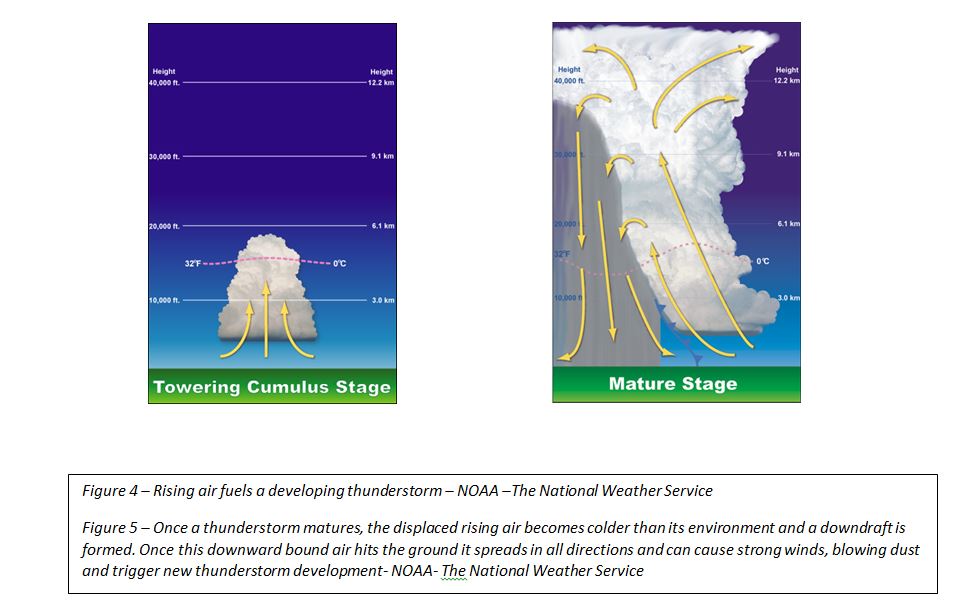
Cloud stages
Outflow Boundaries
Rising air that fuels thunderstorms will come back down eventually. When thunderstorms reach maturity, this displaced air becomes colder than its environment, creating a downdraft that falls rapidly. When the downdraft reaches the ground, it spreads out in all directions, much like water pouring out of a glass onto the floor. These sometimes-violent winds, known as thunderstorm outflow boundaries, can cause blowing dust and, if strong enough, can force air upward to form new storms. These boundaries occasionally collide with one another and displace even more air upward, aiding in the development of strong or severe thunderstorms.
Editor's Note: ASU’s School of Geographical Sciences & Urban Planning has partnered with ADOT to place graduate-level meteorology students in the ADOT Traffic Operations Center. This allows ADOT to have better information about weather conditions and more quickly determine how to deploy crews and communicate with the public.