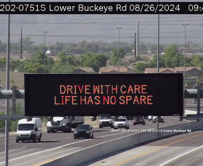
ADOT is inviting the public to submit engaging traffic safety messages for the ninth year in its Safety Message Contest. Submissions are open through Sept. 22 at azdot.gov/SignContest.
The Arizona Department of Transportation is currently working on a project to improve pedestrian safety on US 180B (Main Street) by adding a protected crossing that includes HAWK signals, a marked crosswalk, and ADA-compliant ramps.
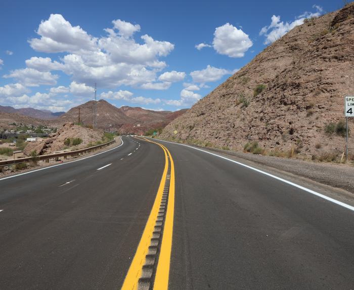
The $11.4 million pavement rehabilitation applied a micro-surface to protect the existing asphalt, replaced pavement markings and made spot pavement repairs on 13 miles of US 191 beginning south of
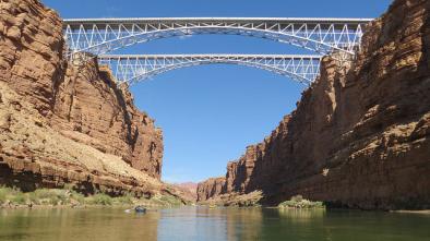
This week's guest and host on ADOT's podcast were at the Sept. 14, 1995, dedication of a new Navajo Bridge spanning Marble Canyon on US 89A. Thirty years later, they share their memories.
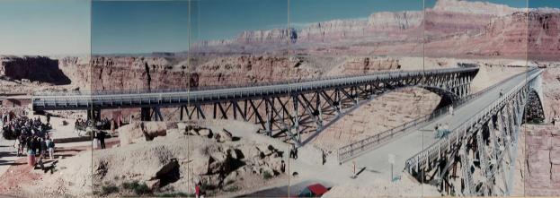
We’re also relaying the story of a series of photos taken to create a panoramic view from the day the day in 1995 when ADOT and the Navajo Nation dedicated a new Navajo Bridge.
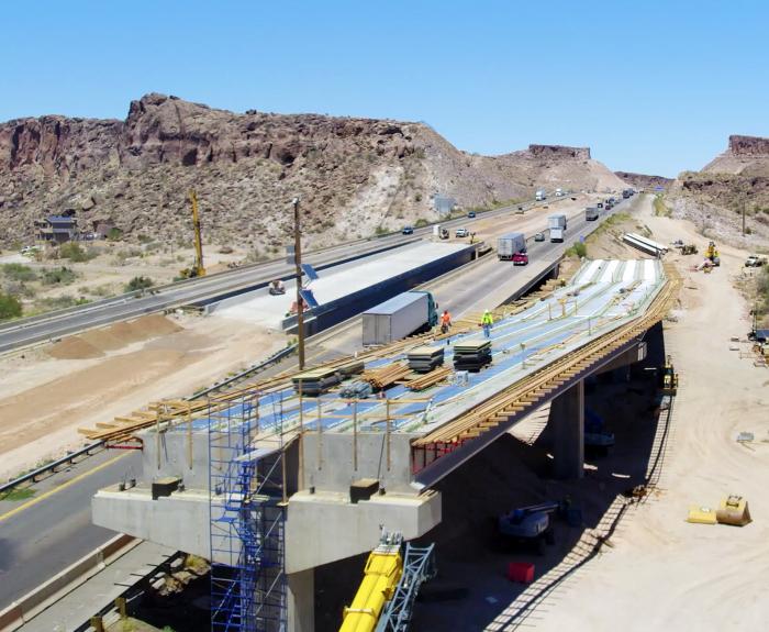
The Arizona Department of Transportation has reached the halfway mark on a $106 million project to construct a free-flowing interchange that will reduce delays on the main route between Las Vegas and
This week's episode of On the Road With ADOT explores what goes into creating annual Arizona Motor Vehicle Crash Facts reports and what Arizonans can learn from them.
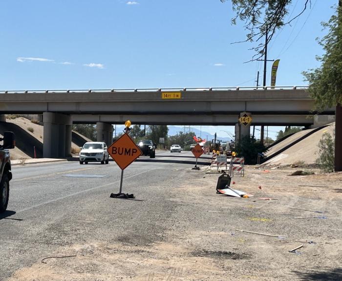
The Arizona Department of Transportation is scheduled to begin a year-long closure of Country Club Road at Interstate 10 the evening of Monday, Sept. 8, as part of a project to widen I-10 from Kino
Loop 202, Loop 101 to Val Vista Drive Noise Report
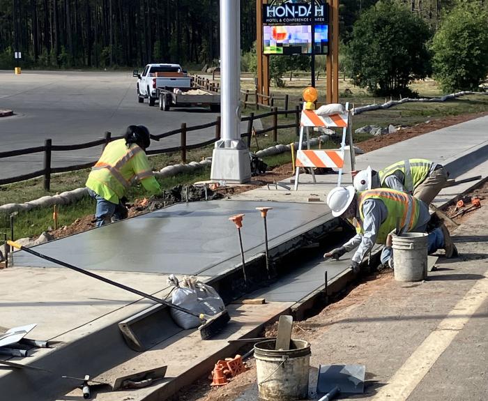
In collaboration with the tribal government, the Arizona Department of Transportation recently completed a $1.75 million project that added sidewalks, lighting, ramps and signage to State Route 73 at