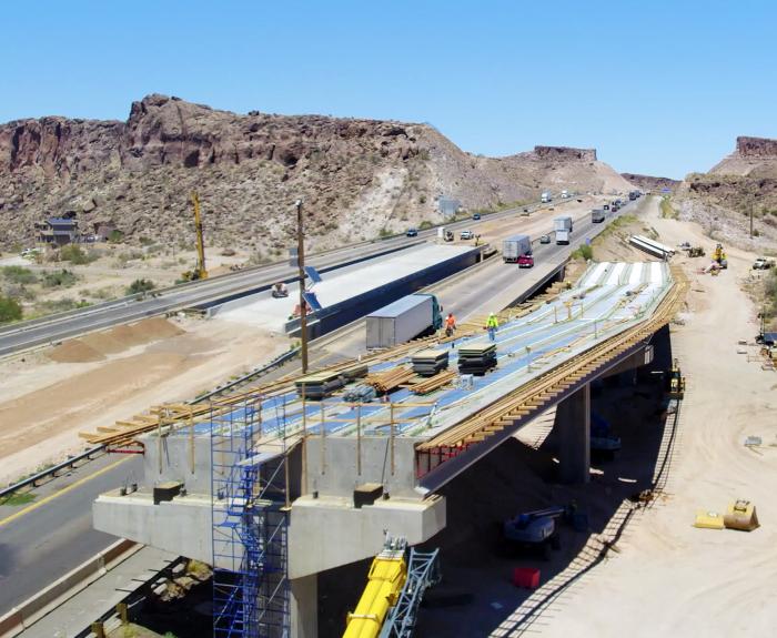
The Arizona Department of Transportation has reached the halfway mark on a $106 million project to construct a free-flowing interchange that will reduce delays on the main route between Las Vegas and
This week's episode of On the Road With ADOT explores what goes into creating annual Arizona Motor Vehicle Crash Facts reports and what Arizonans can learn from them.
The Arizona Department of Transportation is scheduled to begin a year-long closure of Country Club Road at Interstate 10 the evening of Monday, Sept. 8, as part of a project to widen I-10 from Kino
Loop 202, Loop 101 to Val Vista Drive Noise Report
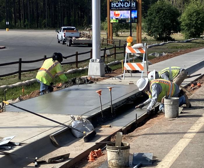
In collaboration with the tribal government, the Arizona Department of Transportation recently completed a $1.75 million project that added sidewalks, lighting, ramps and signage to State Route 73 at
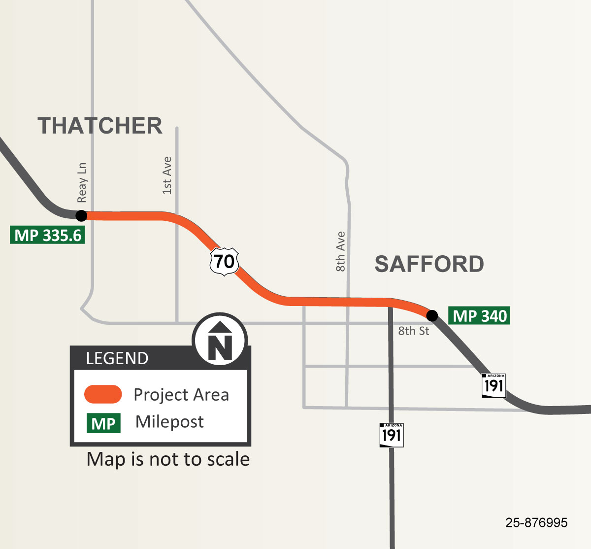
The Arizona Department of Transportation is conducting a pavement rehabilitation project on US 70 between Reay Lane (milepost 335.6) and 8th Street (milepost 340) in Thatcher and Safford.
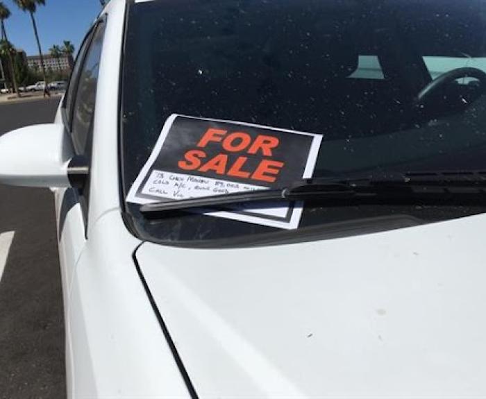
By completing a sold notice, you remove your name as the owner of record for the vehicle and help protect yourself from future responsibilities even if the new owner has not transferred the
ADOT has more than 100 specialty license plates featuring a range of worthy causes or charities. To boost awareness, we showcase one specialty license plate each week on social media.
It's time to STOP and YIELD to the temptation to learn where highway signs come from. There's ONE WAY to do that, and that's listening to this episode of On the Road With ADOT.