ADOT to hold two public meetings May 10 and 11 about plans for a new four-mile segment of Loop 303 south of Van Buren Street in Goodyear. The meeting on May 10 will be held at Desert Edge High School
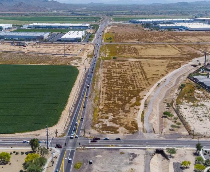
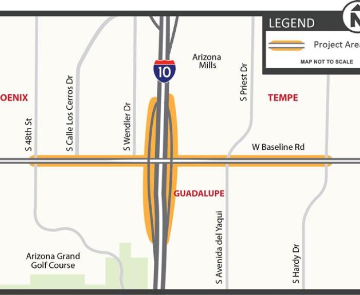
A virtual public meeting about potential improvements at the I-10 interchange with Baseline Road will be held on Tuesday, May 9. The study will evaluate whether improvements will be made to the
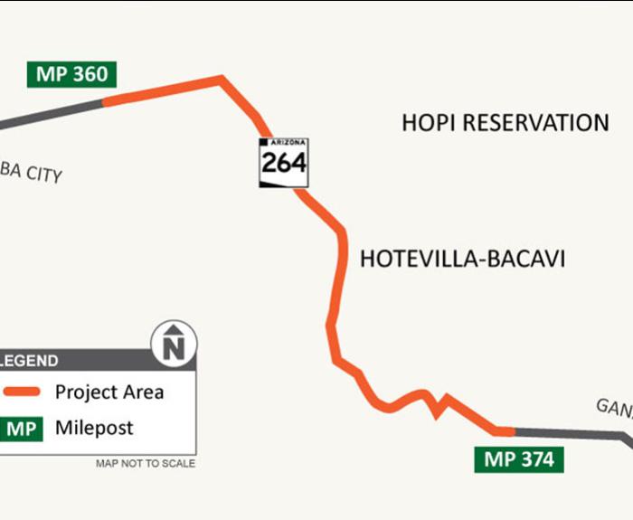
Crews will be working to replace the pavement and restripe the roadway as part of the improvement project along SR 264. Drivers should expect lane restrictions while the work is underway.
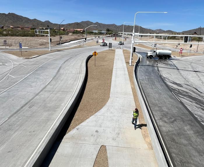
Drivers in the West Valley can now use the second I-10 Diverging Diamond Interchange (DDI) to be constructed as part of the Arizona Department of Transportation’s ongoing freeway widening project in
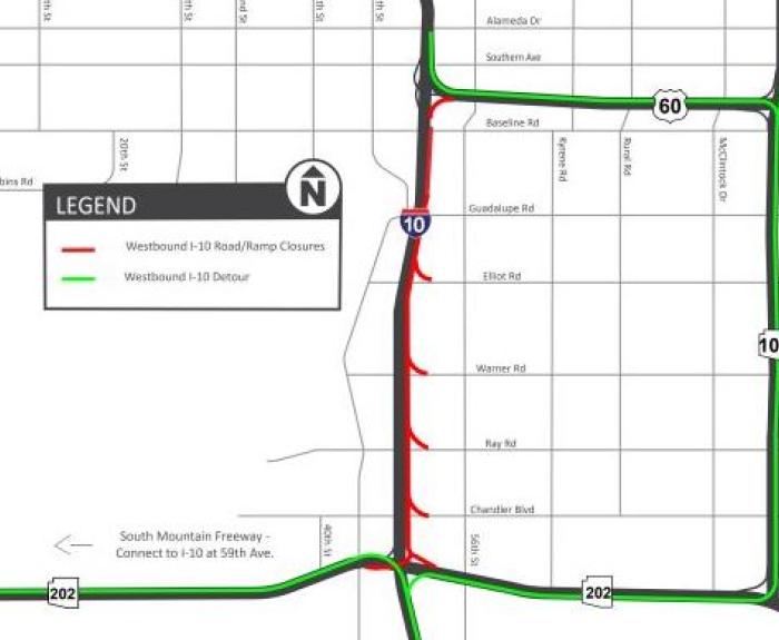
The Arizona Department of Transportation is advising motorists to plan ahead and expect delays when westbound Interstate 10 is closed between Loop 202 (Santan/South Mountain Freeway) and US 60 from
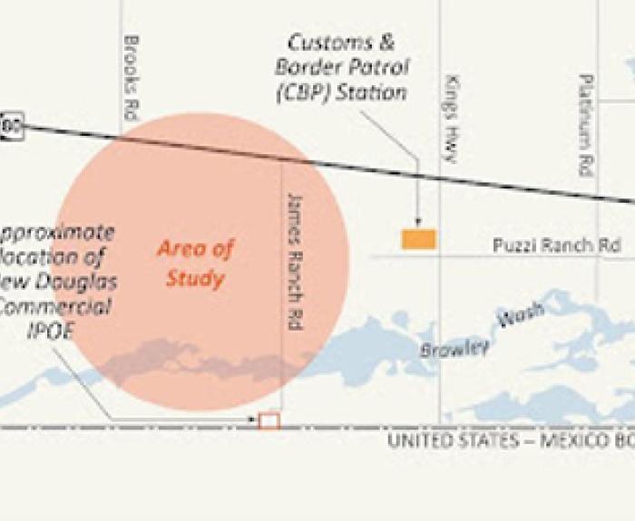
DOUGLAS – The Arizona Department of Transportation is holding an in-person open house Thursday, April 27, to share information on a study evaluating alternatives for a connector road from the new
911
The Weekend Freeway Travel Advisory is posted as it becomes available, usually by Thursday evening for the coming weekend.
Stacy Guillen serves as the deputy director of Law and Policy managing the operations for the Internal and External Affairs Division, Executive Hearing Office, Administrative Counsel, and the Employee