Links and Resources - Airport Development
Airport Development Links and Resources
Arizona Airport Land Use Manual (ALUM)
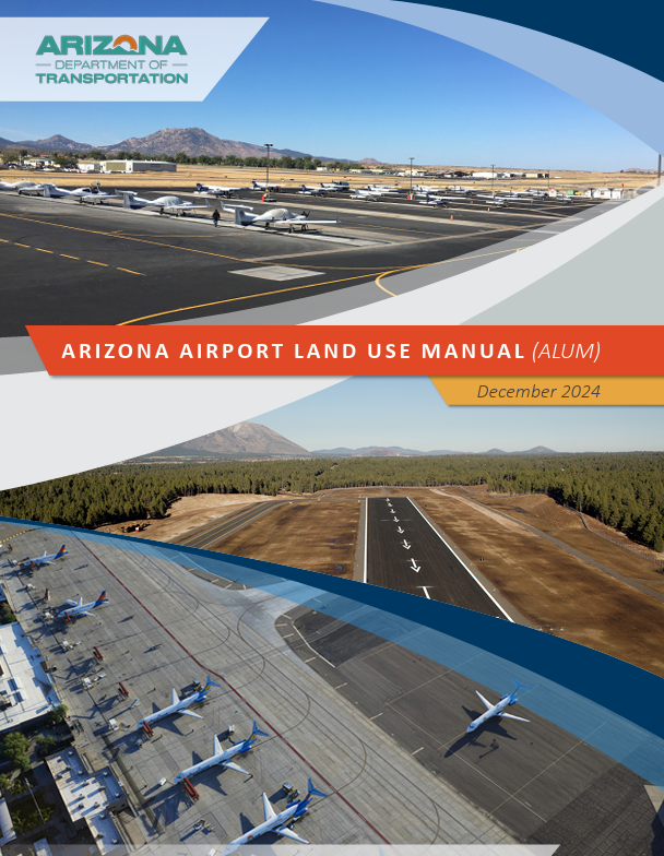
See also this primer: About the Arizona ALUM. Here is a PRINTABLE version of the primer.
Download the ALUM manual below.
The ALUM Dashboard includes numerous resources, templates, and information pertaining to the ALUM. The Dashboard also includes a map viewer that presents two types of airport boundaries that are important when considering land use development near an airport. The information in this Dashboard is intended to inform and guide users on best practices for enhancing land use compatibility near Arizona’s public-use airports.
Appendices:
Several appendices are intended to be downloaded and used by airports or other users. Google Chrome and other web browsers may automatically download the document and not open a separate tab to view the document online. Please check your download folder if a separate tab does not open. Refer to the complete ALUM manual (linked above) to view these documents without downloading.
- Appendix A: Model Airport Disclosure Map Template (downloads MS Word doc; editable for users)
- Appendix B: Video - How to Develop an Airport Disclosure Map and Submit for Approval
- Appendix C: ADOT Grant Sponsor Assurances
- Appendix D: Video - How to Use FAA’s Notice Criteria Tool and Submit a 7460-1(if required)
- Appendix E: Airport Land Use Community Presentation Template (downloads MS Powerpoint file; editable for users)
- Appendix F: Model Airport Overlay Zoning Ordinance and Examples (downloads MS Word file; editable for users)
- Appendix G: Model Real Estate Disclosure and Examples (downloads MS Word file; editable for users)
- Appendix H: Using Building Codes
- Appendix I: Model Right of First Refusal (downloads MS Word file - editable for users)
- Appendix J: Model Avigation Easement and Examples (downloads MS Word file - editable for users)
Training Video
In January 2025, ADOT and Kimley-Horn hosted a series of webinars as an introduction to the Airport Land Use Manual and the various resources associated with it. Three webinars with three distinct audiences were held. The targeted audiences were: Airport Representatives, Government Officials and Real Estate Professional and Developers.
Airport Representatives
Local Governments
Real Estate
2021 Arizona Aviation Economic Impact Study
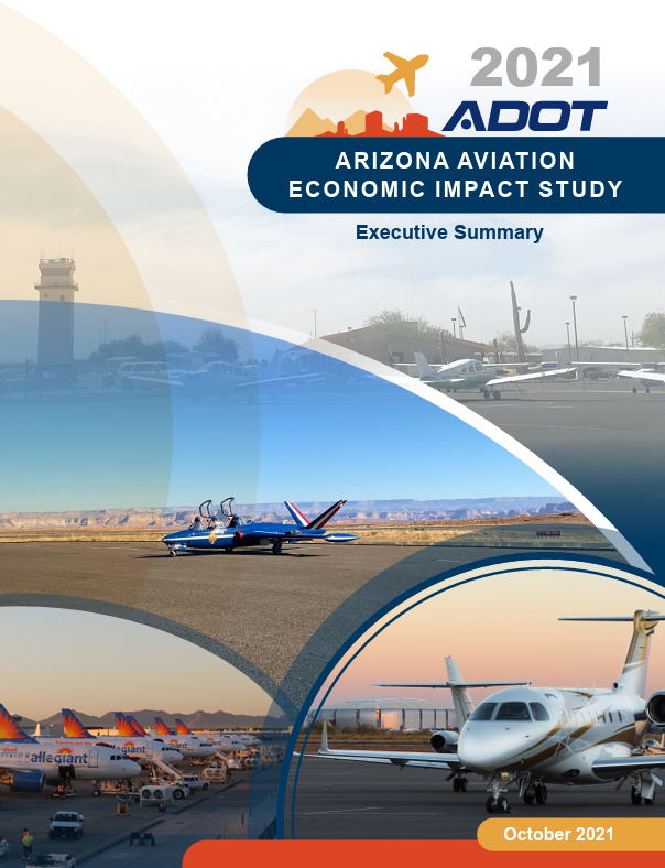
The ADOT Aeronautics Group in collaboration with IHS Markit and Kimley-Horn are excited to announce that the 2021 Arizona Aviation Economic Impact Study (2021 Arizona AEIS) is now complete. This study quantified the size and scope of the impacts generated by Arizona’s 67 publicly owned, public-use airports; the aerospace manufacturing and research industry; and 10 principal military installations with an aviation-related mission component on the Arizona economy (2019 study year). The analysis found that these three study components contributed $121.4B in economic activity (output) and supported 575,826 jobs for Arizona workers in 2019 - demonstrating that continued investment into aviation is vital for the ongoing strength, diversity, and vitality of our state.
Arizona airports specifically contributed $59.4B in economic activity to the state economy—nearly double the impact calculated during the previous Arizona AEIS in 2012. The economic impact of airports far exceeds state investment via the State Aviation Fund, the primary state mechanism for funding the preservation and expansion of Arizona airports. Continued support for airports is not only fundamental to ensuring they remain safe, advanced, and responsive to growing demands over time, but also a wise investment into Arizona’s future.
Study Deliverables – Download Now
To help communicate how Arizona airports, aerospace manufacturing and research, and principal military operations benefit the state and local communities, 2021 Arizona AEIS provides the following study deliverables:
- Statewide Executive Summary
- Technical Report - Electronic Viewing
- Technical Report - Print Version
- Study Overview and Results (Arizona Airports Association Fall Conference Presentation)
- Buckeye Municipal (BXK)
- Casa Grande Municipal (CGZ)
- Chandler Municipal (CHD)
- Chinle Municipal (E91)
- Cibecue (Z95)
- Cochise College (P03)
- Cochise County (P33)
- Colorado City Municipal (AZC)
- Coolidge Municipal (P08)
- Cottonwood Municipal (P52)
- Douglas Municipal (DGL)
- Eloy Municipal (E60)
- Eric Marcus Municipal (P01)
- Falcon Field (FFZ)
- Flagstaff Pulliam (FLG)
- Gila Bend Municipal (E63)
- Glendale Municipal (GEU)
- Grand Canyon National Park (GCN)
- Grand Canyon West (1G4)
- Greenlee County (CFT)
- H.A. Clark Memorial Field (CMR)
- Holbrook Municipal (P14)
- Kayenta (0V7)
- Kearny (E67)
- Kingman (IGM)
- Lake Havasu City (HII)
- Laughlin/Bullhead International (IFP)
- Marana Regional (AVQ)
- Nogales International (OLS)
- Page Municipal (PGA)
- Payson (PAN)
- Phoenix Deer Valley (DVT)
- Phoenix Goodyear (GYR)
- Phoenix Sky Harbor (PHX)
- Phoenix-Mesa Gateway (IWA)
- Pinal Airpark (MZJ)
- Polacca (P10)
- Prescott Regional - Ernest A. Love Field (PRC)
- Rolle Airfield (44A)
- Ryan Field (RYN)
- Safford Regional (SAD)
- San Carlos Apache (P13)
- San Manuel (E77)
- Scottsdale (SDL)
- Sedona (SEZ)
- Seligman (P23)
- Sells (E78)
- Show Low Regional (SOW)
- Sierra Vista Municipal-Libby Army Airfield (FHU)
- Springerville Municipal (JTC)
- St. Johns Industrial Air Park (SJN)
- Superior (E81)
- Taylor (TYL)
- Tombstone Municipal (P29)
- Tuba City (T03)
- Tucson International (TUS)
- Whiteriver (E24)
- Wickenburg Municipal (E25)
- Window Rock (RQE)
- Winslow-Lindbergh Regional (INW)
- Yuma International (NYL)
- County Brochures
- Ak Chin Regional (A39)
- Avi Suquilla (P20)
- Bagdad (E51)
- Benson Municipal (E95)
- Bisbee Municipal (P04)
Federal
Aviation Associations
State
Aviation/Aerospace Organizations
Weather
Online Publications
Flight Planning