US 60: Queen Creek and Waterfall Canyon Bridges Project

US 60: Queen Creek and Waterfall Canyon Bridges Project

Contents

Overview

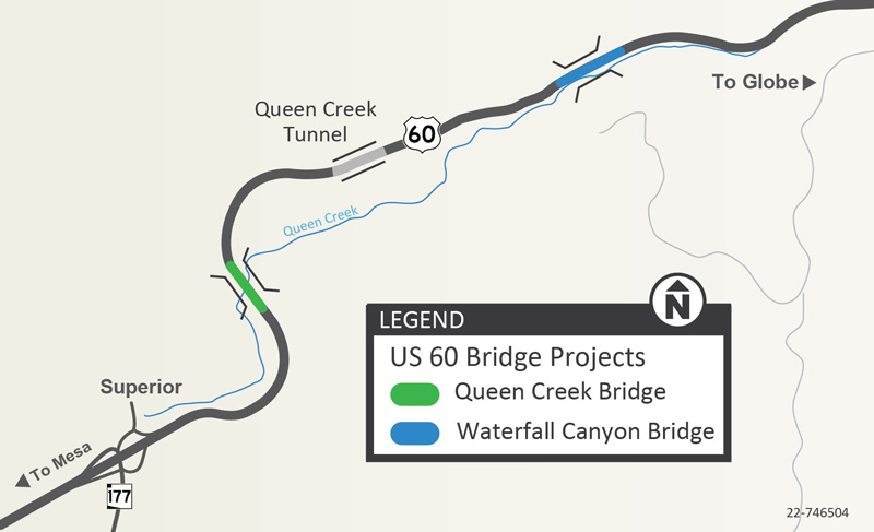
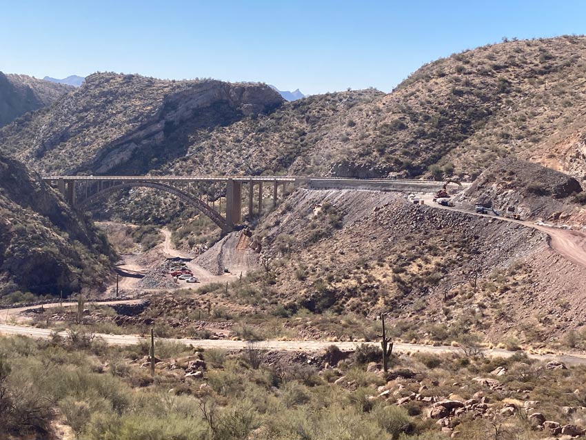
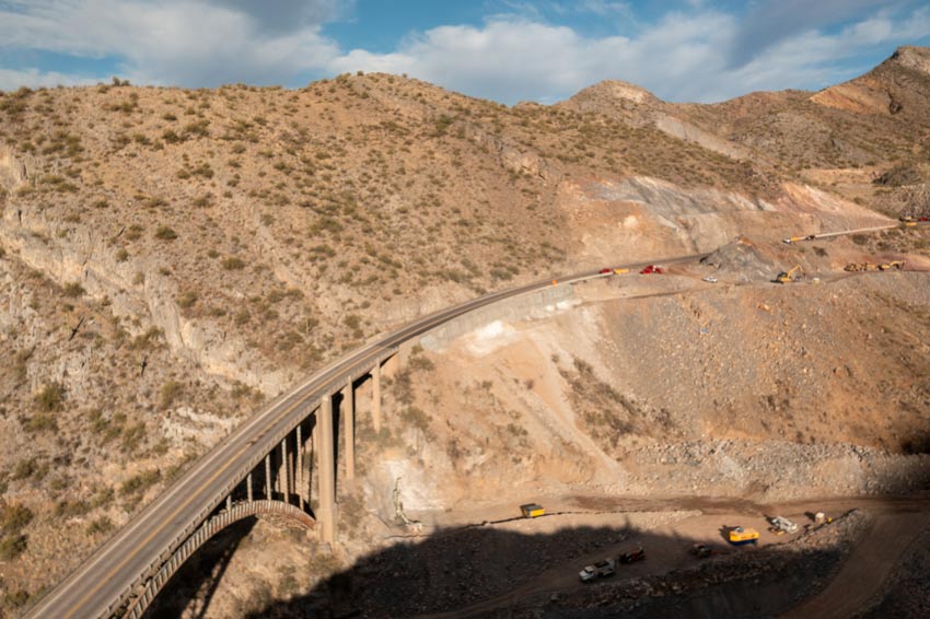
The Arizona Department of Transportation is replacing the Queen Creek and Waterfall Canyon bridges located on the US 60 between mileposts 227 and 229.5, just east of Superior in Pinal County.

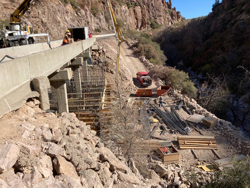
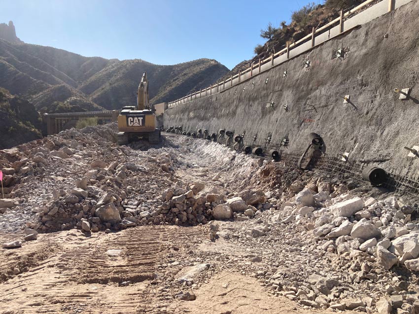
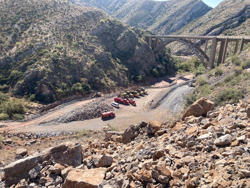
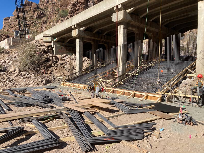
A new Queen Creek Bridge will be constructed just to the east of the existing bridge and the existing steel bridge will be removed following construction of the new bridge. The Waterfall Canyon Bridge, located east of the Queen Creek Tunnel, will be reconstructed into two box culverts to improve drainage, and will remain in its existing location.

Guardrail replacement and other general maintenance work will also be completed within and near the Queen Creek Tunnel.


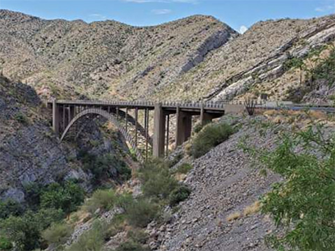
US 60 Queen Creek Bridge
Queen Creek Bridge

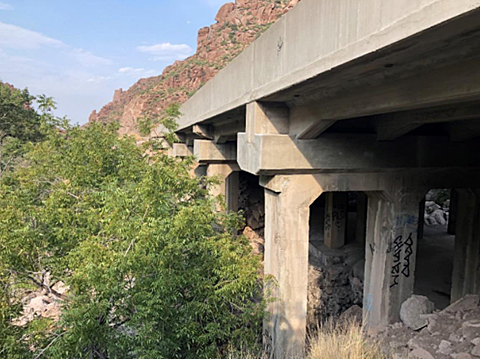
US 60 Queen Waterfall Canyon
Waterfall Canyon Bridge

Project Map

Project Map - Queen Creek and Waterfall Canyon bridge projects


FAQs

Why does ADOT need to build the new bridges?

The Queen Creek Bridge built in 1949, and the Waterfall Canyon built in 1929, were built to standards in those times; however those standards no longer meet the current minimum bridge guidelines of ADOT or the Federal Highway Administration and the American Association of State Highway Transportation Officials. ADOT has completed multiple maintenance projects on the bridges to extend their lives; however due to weather and continued traffic-induced vibrations, the structures have reached the end of their useful lives.

What is the project timeline?

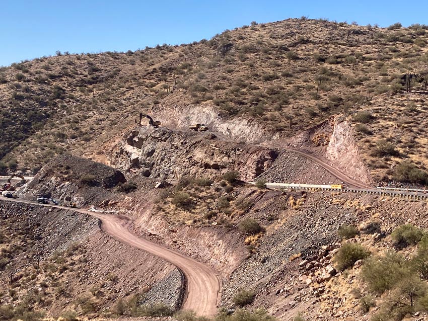
Construction of access roads to the project site in the canyon located below the Queen Creek Bridge is scheduled to begin in early 2024. Work on the bridge is scheduled to begin after construction of the access roads is complete. The project is expected to last approximately two and a half years.

What type of traffic impacts should drivers expect during construction?

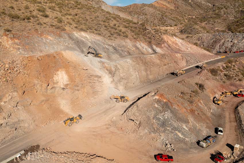
Drivers should expect occasional restrictions and closures of  US 60 in the work zone during certain work, such as rock blasting. Closures will be Tuesday, Wednesday, and Thursdays from 9 a.m. to 2 p.m in the early phases of the project.  ADOT will notify the public in advance when specific restrictions or closures are planned and the project team will set up message boards on the US 60 in advance. Subscribe to receive traffic alerts and project updates by email.

What is the detour when US 60 is closed?

During full closures of US 60, ADOT will detour traffic onto State Route 77 and State Route 177. However, due to the length of this detour (approximately 75 miles) drivers might want to consider planning travel before 9 a.m. and after 2 p.m.

What are the recreational access restrictions?

The two bridges are located in an area frequented by hikers, rock climbers, and other recreational users. For the safety of recreational users and the work crews, areas within and near the work zones will be restricted during construction.

Waterfall Canyon Bridge area - The US 60 pull-out east of the Queen Creek tunnel nearest the Waterfall Canyon Bridge is expected to be closed during Waterfall Canyon Bridge reconstruction. Other nearby pull-outs may close intermittently based on the contractor’s staging needs. In addition, the area near the bridge will be inaccessible due to construction work.

Queen Creek Bridge area - The Lost Trail will be closed through the project site during construction from the Magma Avenue Trailhead in Superior to the west of the historical Claypool Tunnel.

For More Information

...

Subscribe to receive project updates and traffic alerts by email. For more information, please call the ADOT Bilingual Project Information Line at 855.712.8530 or submit a question or comment by email to [email protected]. For real-time highway conditions statewide, visit ADOT's Traveler Information Site at www.az511.gov, follow ADOT on Twitter (@ArizonaDOT) or call 511, except while driving.