State Route 67 to North Rim of Grand Canyon closing for winter season
State Route 67 to North Rim of Grand Canyon closing for winter season

State Route 67 to North Rim of Grand Canyon closing for winter season
State Route 67 to North Rim of Grand Canyon closing for winter season
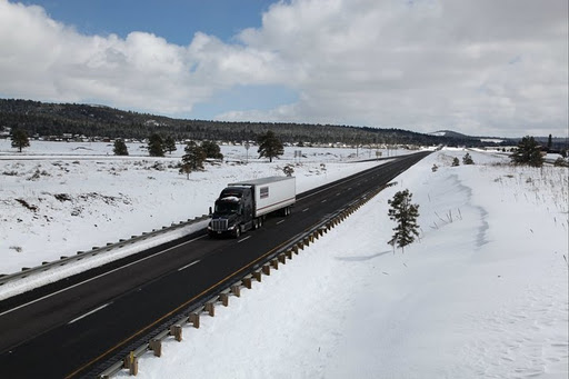
PHOENIX — It’s an annual sign that winter is arriving in northern Arizona. The Arizona Department of Transportation will close State Route 67 between Jacob Lake (US 89A) and the North Rim of the Grand Canyon National Park for the winter season on Monday, Dec. 1.
The road could be closed earlier if heavy snowfall occurs in the area prior to the closure date.
ADOT does not clear snow from SR 67 during the winter since the visitor accommodations at the North Rim are closed. The highway reopens each spring, usually around mid-May. US 89A will remain open at the junction with SR 67.
Before heading out on the roads, drivers are encouraged to call 511 or visit ADOT’s Traveler Information Center at az511.gov for the latest highway conditions around the state. The website features camera images along state highways that give drivers a glimpse of weather conditions in various regions.