State Route 89A

SR 89A restricted south of Flagstaff for ongoing rockfall project

SR 89A restricted south of Flagstaff for ongoing rockfall project

I-17 101 traffic interchange

SR 89A restricted south of Flagstaff for ongoing rockfall project

SR 89A restricted south of Flagstaff for ongoing rockfall project

June 18, 2024

Drivers should allow extra time, use I-17, SR 179 at times as detour routes

FLAGSTAFF – Traffic restrictions remain in place on State Route 89A at the switchbacks in Oak Creek Canyon south of Flagstaff as work continues on a rockfall mitigation project.

The Arizona Department of Transportation’s safety project will require closures and lane restrictions in the area over the next several months. SR 89A is limited to one lane with alternating traffic the majority of the time. ADOT will provide advance notice when full highway closures are needed.

The contractor has placed temporary traffic signals at each end of the work zone, allowing traffic to move through the area one direction at a time. Drivers should expect delays and add extra travel time to their trips north of the Pine Flat Campground or south of the Oak Creek Vista scenic overlook.

When SR 89A closures are in place, drivers in the Flagstaff area should plan on using southbound I-17 to northbound SR 179 to reach Sedona and Oak Creek Canyon. Northbound traffic in the Sedona area will need to use southbound SR 179 to northbound I-17 to reach Flagstaff. 

The rockfall mitigation project and restrictions are anticipated to last until fall. Closures will be scheduled as needed as crews work to stabilize a cliff face above SR 89A where a rockslide occurred in March 2023. ADOT will provide advance notice of any additional full closures.

A 10 foot vehicle-width restriction will be in place in the work zone. ADOT and its contractor are coordinating with local and regional safety agencies to maintain emergency vehicle access and to be prepared if events, including wildfires, require a response.

Real-time highway conditions are available on ADOT’s Arizona Traveler Information site at az511.gov, the az511 app or by calling 511. 


Closure of SR 89A near Sedona extended for rockfall mitigation

Closure of SR 89A near Sedona extended for rockfall mitigation

I-17 101 traffic interchange

Closure of SR 89A near Sedona extended for rockfall mitigation

Closure of SR 89A near Sedona extended for rockfall mitigation

December 8, 2023

Traffic will continue to use I-17 detour between Sedona and Flagstaff

FLAGSTAFF – A section of State Route 89A north of uptown Sedona is now scheduled to remain closed through next week as construction crews perform critical clean-up work after recent blasting for rockfall mitigation, according to the Arizona Department of Transportation.

The safety of the traveling public is a key reason for the extended closure of SR 89A in both directions between the Owenby Way roundabout and the Midgley Bridge picnic area (mileposts 375-376).

While construction crews are expediting efforts to remove loose rock on the canyon wall and clear the roadway, the highway closure is scheduled until 6 a.m. Saturday, Dec. 16. These critical operations need to be completed to create safer conditions along SR 89A.

Drivers should continue to plan extra travel time while using State Route 179 and Interstate 17 as a detour route in either direction for travel between Sedona and Flagstaff.

State highway conditions are available via ADOT’s 511 Travel Information site, the AZ511 app or by calling 511. Highway information and answers are also available via ADOT’s X (formerly Twitter) feed (@ArizonaDOT) and the agency’s Facebook page (facebook.com/AZDOT).


SR 89A daytime closures north of uptown Sedona start June 20

SR 89A daytime closures north of uptown Sedona start June 20

I-17 101 traffic interchange

SR 89A daytime closures north of uptown Sedona start June 20

SR 89A daytime closures north of uptown Sedona start June 20

June 13, 2023

Lengthy detours required due to rockfall mitigation work

SEDONA – Drivers who normally would use State Route 89A in an area north of uptown Sedona should allow extra travel time and plan to use detours due to scheduled highway closures between June 20 and 28, according to the Arizona Department of Transportation.

SR 89A is due to be closed between Owenby Way, near uptown Sedona, and the Midgley Bridge picnic area, from 6 a.m. to 4 p.m. Tuesday through Thursday, June 20-22, and again on Tuesday, June 27, and Wednesday, June 28.

The closures are needed for safety while crews are doing rockfall mitigation work as part of an ongoing SR 89A improvement project in the area.

Drivers, including those planning to travel to Slide Rock State Park or other destinations in Oak Creek Canyon, will need to use the following detours while the SR 89A closures are in place:

  • Northbound Detour: Sedona-area drivers can use southbound SR 179 to northbound Interstate 17 to reach southbound SR 89A at the J.W. Powell interchange (Flagstaff Airport exit).
  • Southbound Detour: Flagstaff-area drivers can use southbound I-17 to northbound SR 179 to reach Sedona.

SR 89A will be open for traffic during nighttime hours on each of the days when work will require closures. Lane restrictions and a pilot car operation are currently in use along the highway north of Sedona from 6 a.m. to 5 p.m. weekdays during June.

Additional project information is available at azdot.gov/SR89A.

Real-time highway conditions are available on ADOT’s Arizona Traveler Information site at az511.gov. ADOT also provides highway condition updates via its Twitter feed, @ArizonaDOT.

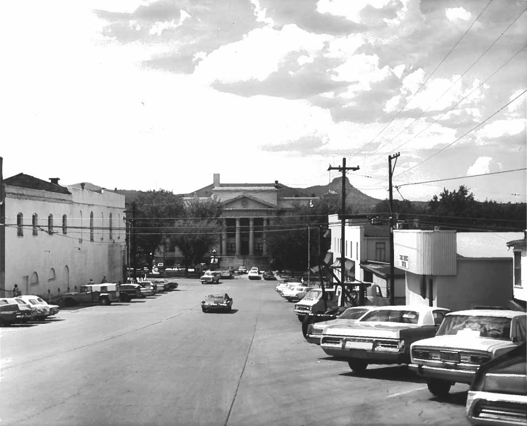
Behind the Place Name: Prescott

Behind the Place Name: Prescott

SR24-1

Behind the Place Name: Prescott

Behind the Place Name: Prescott

By John LaBarbera / ADOT Communications
November 29, 2022

Jerome, Clarkdale, Prescott. Just three of the unique place names in Arizona’s Verde Valley. But just how did these towns, along State routes 89 and 89A, get their names in the first place? 

We pondered this very question and set out on a fact-finding mission.

This is the second in our series, and we venture to the largest city of the bunch, Prescott. With a population just shy of 43,000, Prescott is the county seat of Yavapai County and a bustling central Arizona destination.

Arizona was officially declared a US territory in February 1863. Just one year later, Fort Whipple was moved from Chino Valley to a new, more mountainous locale that was declared "Prescott" on May 30, 1864.

It was named in honor of historian William Hickling Prescott, a man who lived and died in Massachusetts and, by all accounts, never set foot in what would become the territory of Arizona. Prescott died of complications following a stroke in 1859.

William H. Prescott is considered one of the most distinguished historians of the 19th century, being instrumental in the development of history as an academic subject. Following a stint researching Italian poetry, Prescott focused on the history of Spain, spanning from the Renaissance to the early Spanish empire.

He was left partially blind following a food fight during his freshman year at Harvard when he was struck in the eye with a slice of bread and suffered deteriorating eyesight for the rest of his life.

He has a statue and an entire building named after him in Boston, plus a street is named in his honor near Harvard, his bread-tossing alma mater across the river in Cambridge. But the once-territorial-capital of Arizona is his only U.S. namesake west of the Mississippi (And Prescott Valley, of course).

But William H. Prescott does have a global influence: The Colegio Anglo Americano Prescott in Peru is also named after him. One of his most popular works was “The History of the Conquest of Peru,” which chronicled Spain’s exploits in the country.

So, next time you're traveling to or through Prescott, you'll know how the town got its name.

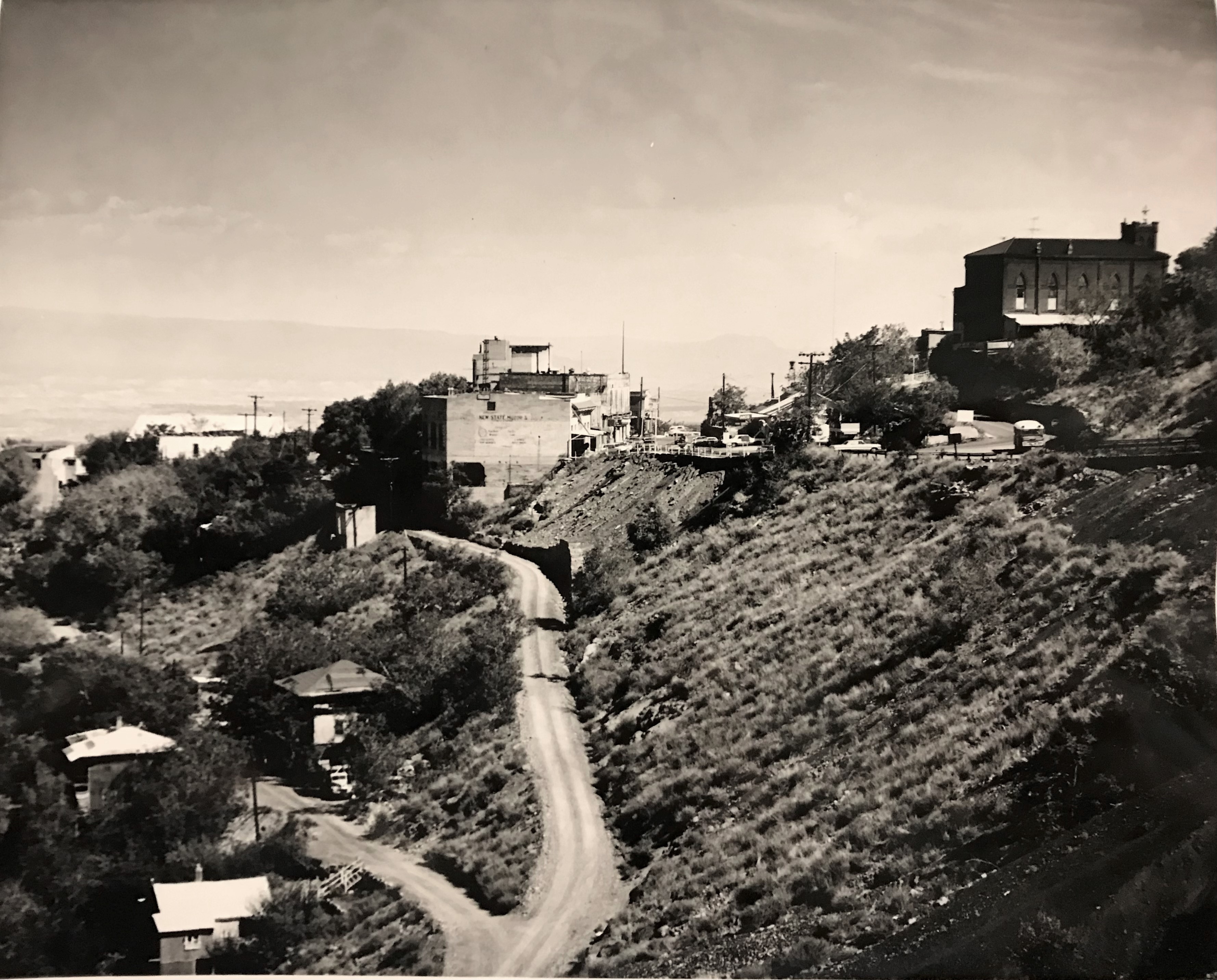
Behind the Place Name: Jerome

Behind the Place Name: Jerome

SR24-1

Behind the Place Name: Jerome

Behind the Place Name: Jerome

By John LaBarbera / ADOT Communications
July 21, 2022
Blog Default

Welcome to the first blog in a series on the origins of Verde Valley place names.

Today we zero in on everyone’s favorite haunted ghost town, Jerome; that little winding, mining ‘burg up on the hill.

In these modern times, we know Jerome for its kitschy vintage stores, colorful architecture and refreshing walkability. But long before its incorporation in 1899, it was already a hardscrabble mining village full of industrious men and women who made their living unearthing copper.

Copper was noted in the area as far back as 1585 when Spanish Conquistadors were sent to the region to recover gold and silver.

The first official copper claims, however, came in 1876 by Angus McKinnon and Morris A. Ruffner. These claims were purchased by future Arizona Territory governor Frederick A. Tritle in 1880.

In 1883, Tritle formed the United Verde Copper Company with Frederick F. Thomas, a mining engineer from San Francisco. They were financially sponsored by a couple of bankers from New York named James A. MacDonald and Eugene Jerome.

Yes, THAT Jerome. He became the secretary of the United Verde Copper Company. But much like the namesake of Prescott, just 35 miles to the southwest, Jerome never visited the town named for him.

Not much is known about Mr. Jerome, other than the fact that he was a prominent lawyer and invested heavily in mining ventures. Much more is known about Jerome’s first cousin, Jennie Jerome.

Jennie Jerome was born in Brooklyn in 1854 and was raised there and in Paris, France. A talented pianist as a girl, Jennie put her personal ambitions on hold when, in 1874, she married Lord Randolph Churchill at the British Embassy in Paris. Jennie would henceforth be known as Lady Randolph Churchill. 

Less than eight months after their nuptials, Lady Randolph gave birth to the couple’s first child: A boy named Winston.

Winston Churchill, of course, would go on to become Prime Minister of the United Kingdom during World War II and was arguably the most prominent British statesman in history.

So now you know that Arizona has a direct connection to Winston Churchill and that it runs straight through that quirky hill town of Jerome, just a short drive from anywhere along State Route 89A.

What will we learn next time? Find out in the next edition of Behind the Place Name. Right here, on the ADOT Blog.