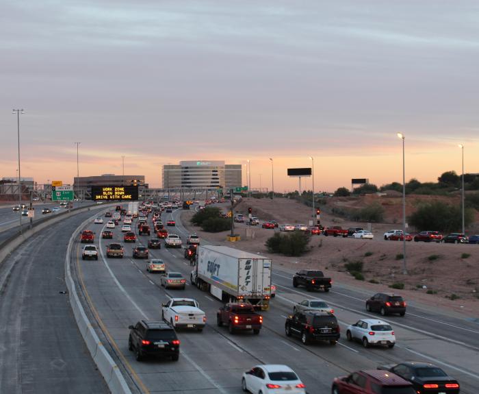
WHP Map
ADOT Director Jennifer Toth says grant is 'critical' for expanding roadway between Phoenix and Tucson
Come read the tale of Pixie the potbelly pig. Discovered on a property for the planned State Route 30 in Avondale, Pixie eluded capture for several weeks.
Photo of US 60 Queen Creek Bridge
The Arizona Department of Transportation is replacing two bridges on US 60 east of Superior with spans designed to handle passenger and commercial traffic for decades to come.
Several concrete bridge girders have been placed throughout the I-10 Broadway Curve Improvement Project and by the project’s end, dozens of these girders will have been placed within the project area. 

Driver license tag from 1922.
Photo courtesy “Report on the old MVD building” published by ADOT’s Right of Way Group in 2021.

I-10 Broadway Curve Improvement Project
PHOENIX - The Arizona Department of Transportation is advising motorists to plan ahead and expect to use detours as the southbound SR 143 ramp to eastbound I-10 will be closed from 10 p.m. Friday, Jan
Cars damaged by floodwaters are sometime shipped to other states where unscrupulous individuals may try to sell them. We've compiled some tips for avoiding a car that can't pass the smell test.
Sentinel Rest Areas on map
The Interstate 8 Sentinel Rest Areas located about 30 miles west of Gila Bend have reopened after renovations to their restrooms, parking lots, water and wastewater systems, and more. 
Photo of electric vehicle charging station
Advancing plans to support adoption of electric vehicles, the Arizona Department of Transportation is seeking bids for private entities to build or upgrade electric vehicle charging stations along
News that a $4 million ADOT project will restore limited access to 5 miles of State Route 88 inspires a trip down memory lane.