US 80: Mother of Arizona highways
US 80: Mother of Arizona highways

US Route 66 is known as the Mother Road, the very symbol of the rise of the automobile era and cross-country travel. While we will not take anything way from the Main Street of America, further south there existed an equally important route. And, for Arizona at least, it did turn out to be the mother of highways.
That road was US Route 80, though its story starts long before roads had paving, let alone numbering. Part of it was originally broken by Lt. Col. Phillip St. George Cooke as he and the Mormon Battalion created a wagon route between Santa Fe and San Diego during the Mexican-American War. Part of it came from the Gila Trail, which led settlers and gold seekers along a southernly route to California. Other parts came from U.S. Army expeditions and railroad scouting in the second half of the 19th century.
In early 20th century, roads fit for the increasingly popular automobile became necessary. But the burgeoning network didn't have a standardized numbering system. Instead they were given a variety of names such as the Meridian Highway (between Winnipeg, Canada, and Laredo, Texas), National Old Trails Road (Baltimore to Los Angeles) and the Yellowstone Trail (Boston to Seattle).
In 1914, the Automotive Club of Savannah conceived of the Dixie Overland Highway, which would be a southern all-weather route between Georgia and California. To reach this goal the road would incorporate parts of other routes, including the Lee, Bankhead and Ocean-to-Ocean highways. After some debate San Diego was chosen as the western terminus – though at first the only way to get a car past the sand dunes around Yuma was to use a road made of wooden planks.
According to the Federal Highway Administration, it soon became apparent that the jumble of named highways was too confusing and nowhere near orderly enough for planned continent-spanning highways. In 1925, transportation officials gathered to put into place a system to change all that. From this came the numbering convention we all know and love, as well as the familiar US highway shield, both of which were adopted by the American Association of State Highway Officials, now the American Association of State Highway and Transportation or AASHTO.
With this change, the southern route that had been the Dixie Overland/Lee/Bankhead/Ocean to Ocean/etc. Highway was dubbed US 80.
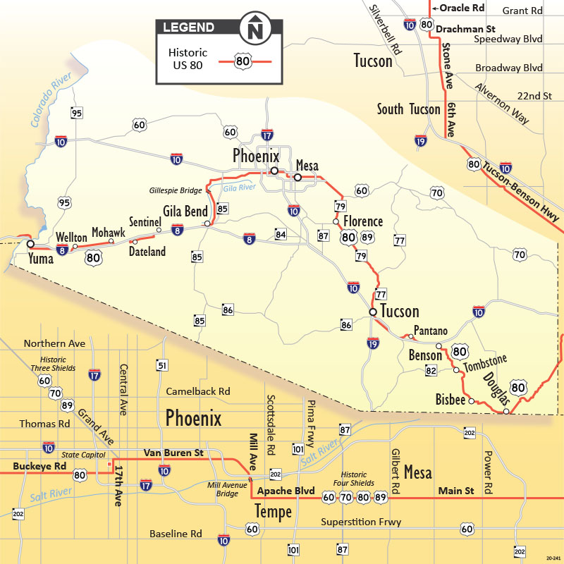
In a 1927 printed log of nation's highways, AASHTO listed US 80 as being 2,726 miles long, with the Arizona portion snaking its way through a circuitous route that passed through Douglas, Lowell, Bisbee, Tombstone, Benson, Tucson, Florence, Mesa, Phoenix, Buckeye, Gila Bend, Sentinel and Yuma. The map at top right shows US 80's original route overlayed on the current state highway system, as well as how it traversed Tucson and Phoenix.
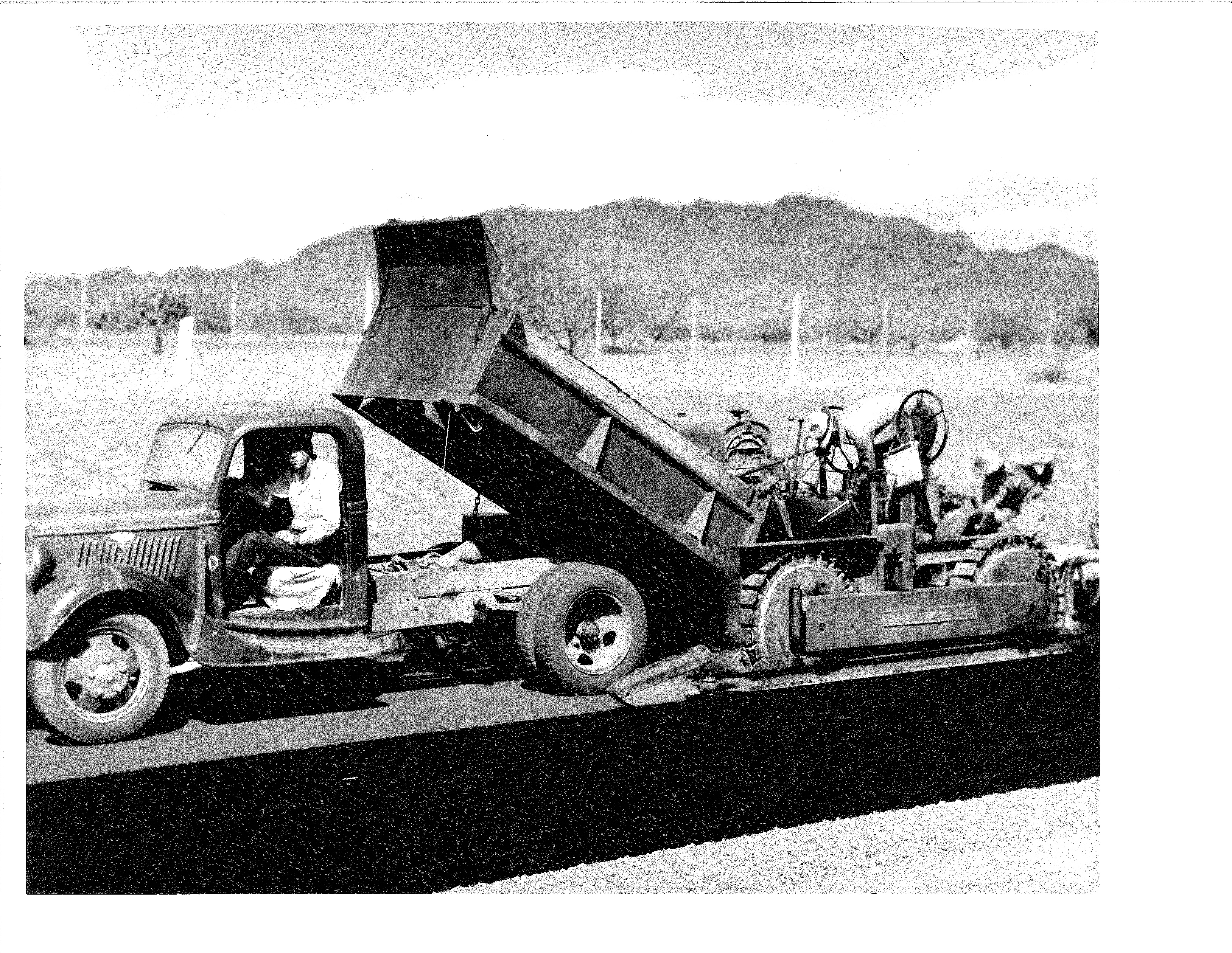
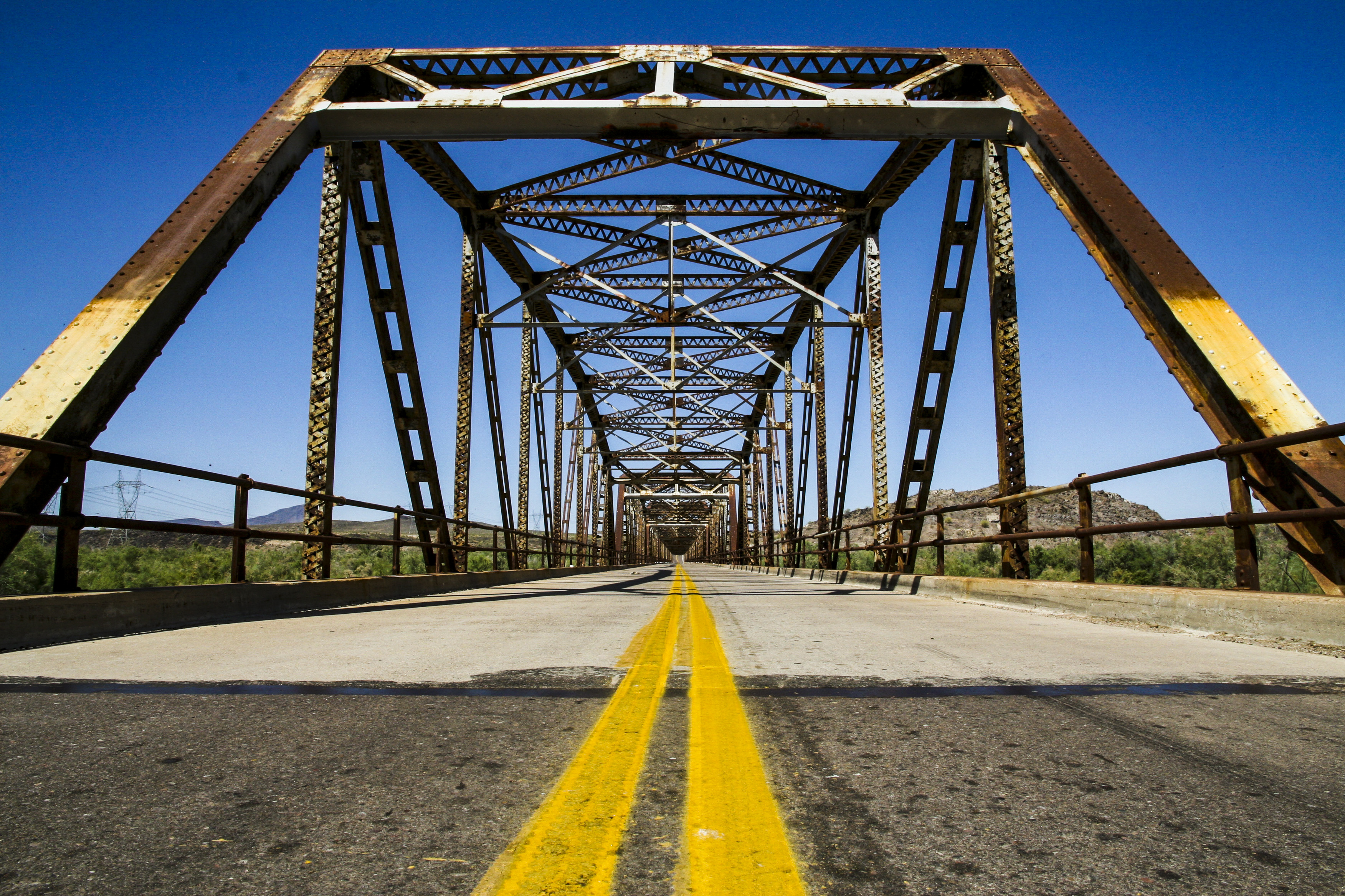
Much like its northern sister, US 66, US 80 was an important automobile crossing that became an economic engine for the cities it passed through. Both it and US 66 were completely paved or surfaced with oil in Arizona by the spring of 1939. Following World War II, US 80's traffic even rivaled that of the more famous highway to the north. Over the next couple decades the road's alignment would be adjusted, such as when the Mule Pass Tunnel near Bisbee was completed in 1958 or when it was routed east of the Gila River instead of having to cross at the Gillespie Dam, which you can see in this 1956 map of the state.
So what happened to this once vital road across Arizona? The answer is the interstates. As these new highways were laid out, US 80 was mostly usurped by Interstate 8 and Interstate 10, which either appropriated its alignment or created a quicker bypass.

The end to US 80 in Arizona actually started in 1964 when California began a massive renumbering of its highways. One part of that was retiring or truncating US highways in favor of the interstates. By the end of the decade US 80 ended at Yuma. In 1977, AASHTO approved Arizona's request to remove the US 80 designation from all but the section between the New Mexico state line and Benson. Both Arizona and New Mexico would petition in 1989 to remove the US 80 designation between Benson and Anthony, New Mexico. The remaining stretch in Arizona became State Route 80. Two years later, AASHTO would approve another request to terminate US 80 in Dallas, where it remains to this day.
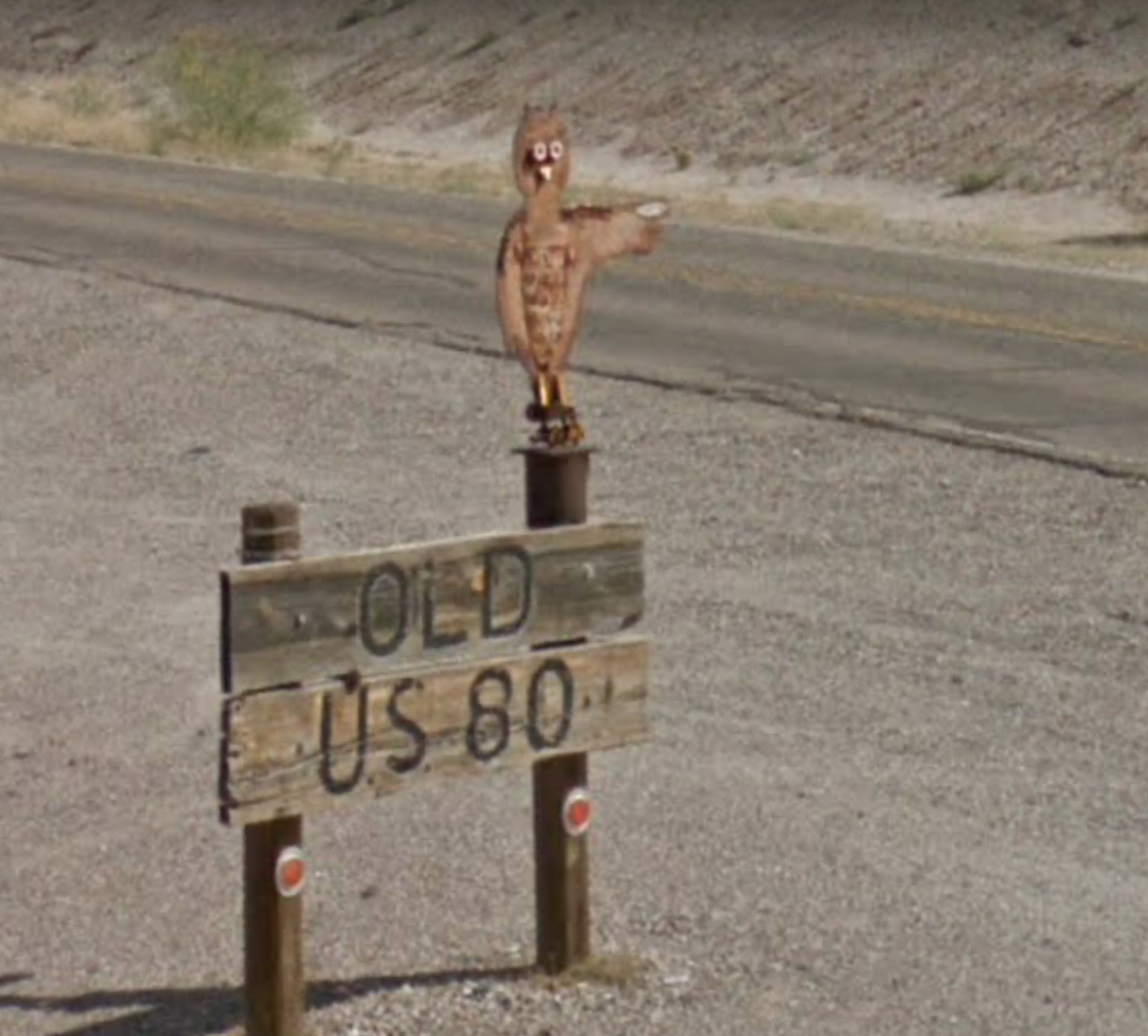
Though it's been more than 30 years since US 80 has been an actual highway in Arizona, you can still see its influence. The route it once used to serpentine across the bottom half of the state is more or less the same alignment as portions of State Route 80, I-10, State Route 77, State Route 79, US 60, State Route 85 and I-8. More than that, you can still drive portions of "Old US 80" in southwestern Arizona near Yuma and again north of Gila Bend. If you ever get the urge to travel what remains of this mother of Arizona highways, you can find this helpful marker in Gila Bend pointing out the way.


