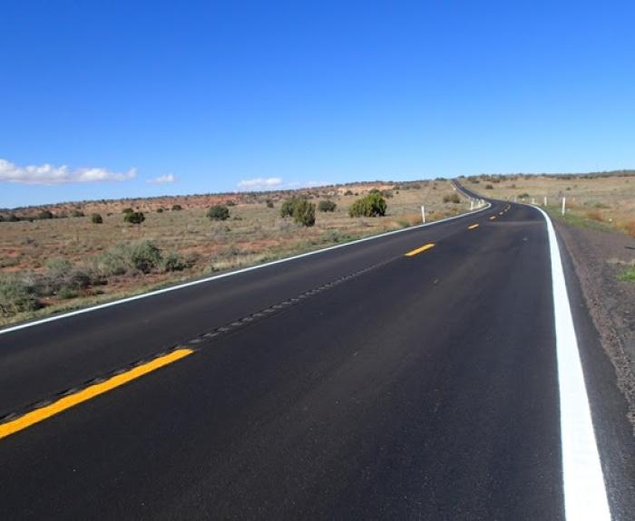
The pavement rehabilitation project, which began in August, applied chip seal and micro surface treatments between State Route 77 near Holbrook and milepost 13 northeast of State Route 277 and Heber
From eTitle Transfer to the AZMVDNOW customer portal to the security that comes with filing a Sold Notice when selling a vehicle, our Motor Vehicle Division is all about finding ways to get you out of line and safely on the road. Get the latest in this episode of On the Road With ADOT.
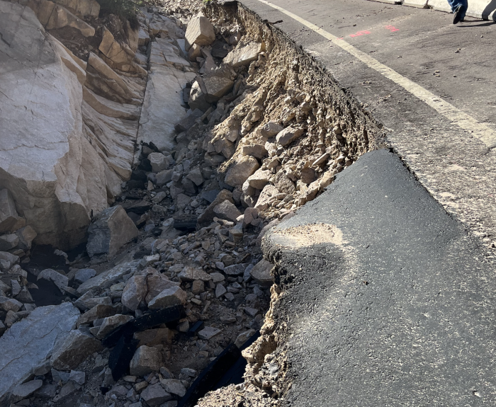
The State Transportation Board approved $3 million in funding Thursday to repair flood-damaged sections of US 60 between Superior and the Globe-Miami area.
ADOT’s Fraud Hotline helped a California resident renew his vehicle registration after learning that the vehicle was also registered in Arizona. On Sept. 10, 2025, ADOT detectives canceled the Arizona
Our latest video gives you a view from above of the emerging I-10 Sunset Road interchange. It's part of our project widening and improving the freeway on the northwest side of the Tucson area.
The Arizona Department of Transportation received nearly 3,500 entries in our ninth Safety Message Contest and we’ve narrowed them down to 10 finalists. Now, it’s up to the public to decide the
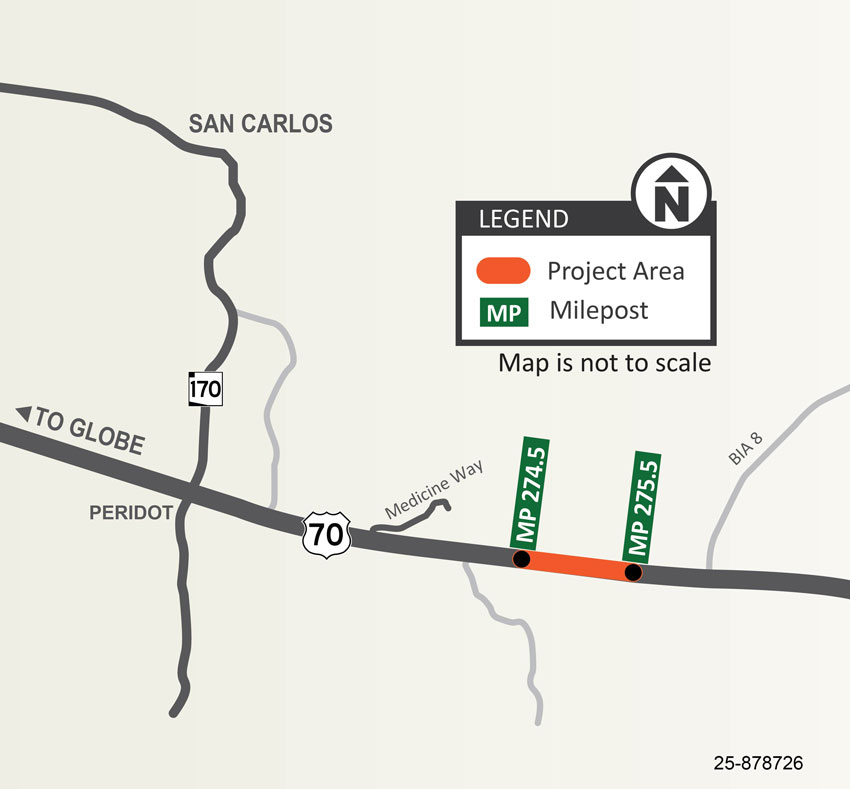
Map showing the US 70: Medicine Way Passing Lane Project area between mileposts 274.5 and 275.5 near Peridot, Arizona, between Globe and San Carlos. The highlighted orange section marks the project area on US 70.
The Arizona Department of Transportation is constructing a new passing lane on eastbound US 70 between mileposts 274.5 and 275.5 within the San Carlos Apache Tribe community.
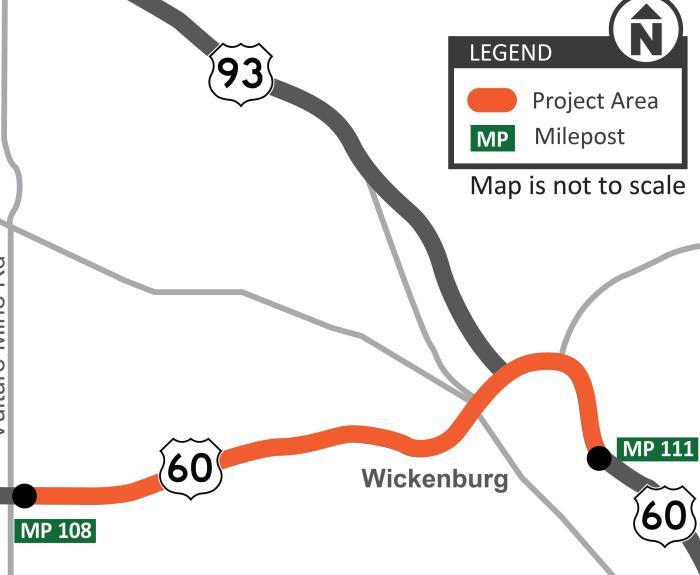
The Arizona Department of Transportation is scheduled to begin a project in late October to improve sidewalks and driveways along US 60 between Vulture Mine Road and US 93.