ADOT competing for $300 million in added federal funding for I-10 expansion between Chandler and Casa Grande
ADOT competing for $300 million in added federal funding for I-10 expansion between Chandler and Casa Grande

ADOT competing for $300 million in added federal funding for I-10 expansion between Chandler and Casa Grande
ADOT competing for $300 million in added federal funding for I-10 expansion between Chandler and Casa Grande
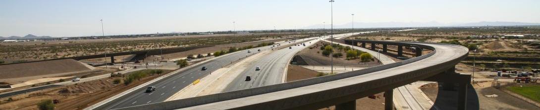
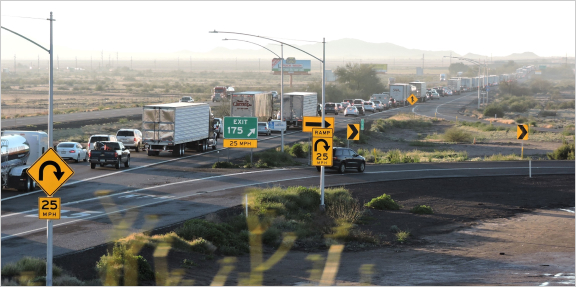
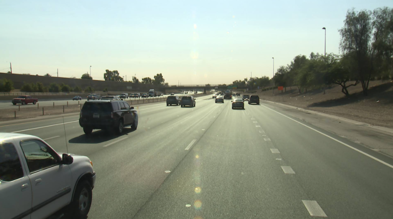
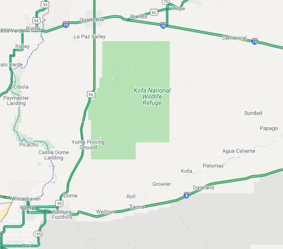
When it comes to the long-awaited Interstate 10 expansion between Chandler and Casa Grande, more money means more lanes. With that goal, the Arizona Department of Transportation has submitted a proposal to get additional federal dollars to combine with state funds for the project.
ADOT has officially delivered a grant application through the federal Infrastructure Investment and Jobs Act (IIJA) for an added $300 million to supplement the $400 million state appropriation signed into law by Governor Doug Ducey earlier this month. That commitment of state dollars made ADOT eligible to apply for the federal competitive grant. There is also $290 million previously budgeted, for a potential project total of $990 million. Construction is funded in part by Prop. 400, a dedicated half-cent sales tax approved by Maricopa County voters in 2004.
ADOT is collaborating closely with the Gila River Indian Community and Maricopa Association of Governments on the I-10 project, and the ADOT application has also gained the vital support of the Arizona congressional delegation, state legislators, and local and regional elected officials. Additionally, more than 50 letters of support have been received from multiple chambers of commerce, trade associations as well as large and small businesses.
“This project is essential for Arizona to enhance the safety and traffic capacity of I-10 with the added benefit of positively impacting our economy,” said ADOT Director John Halikowski. “Interstate 10 is a Key Economic Corridor. Commercial traffic on I-10 carries significant numbers of products and commodities, many of which are manufactured or produced right here in Arizona. These critical items reach every corner of the United States and internationally.”
Halikowski added, “ADOT will do everything possible to leverage financial resources to expand and improve these 26 miles of highway and associated infrastructure. Applying for these federal funds speaks loudly to our commitment to the vision of moving Arizona and becoming the safest, most reliable transportation system in the nation.”
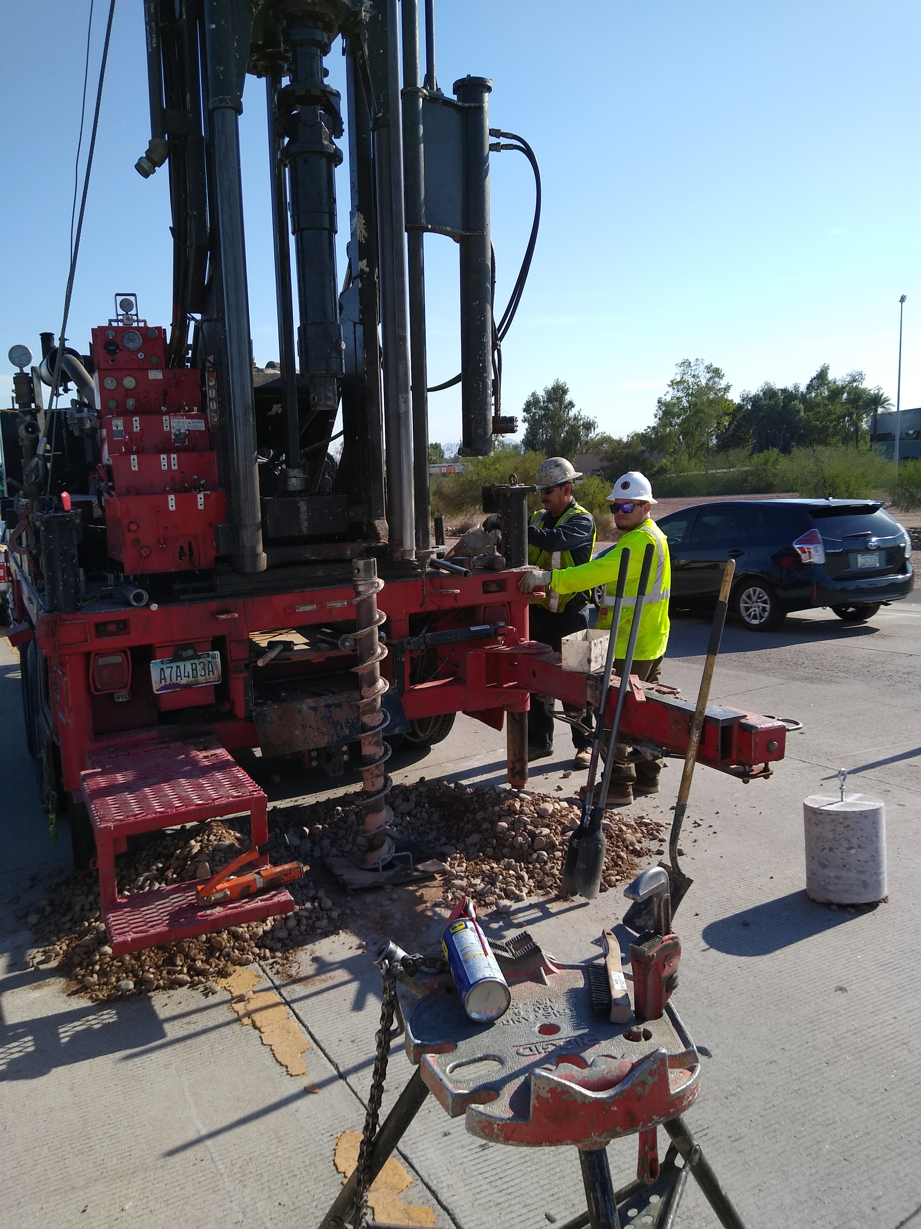
The grant award announcement is expected sometime this fall. In the interim, an engineering and environmental study for the project is currently being completed in cooperation with the Gila River Indian Community and Maricopa Association of Governments (MAG). Additionally, a public hearing for the project is planned in late summer.
Following completion of required environmental review and clearance, the project is expected to start in 2023, beginning with expanding the bridges that carry traffic over the Gila River. Should the federal money not be awarded to the state, ADOT will have contingencies prepared to maximize the use of available dollars for lane expansion.
Target completion date for the full project is sometime in 2026.
For more information: http://i10wildhorsepasscorridor.com/