PODCAST: How does ADOT look after all of those bridges along state highways?
PODCAST: How does ADOT look after all of those bridges along state highways?
PODCAST: How does ADOT look after all of those bridges along state highways?
PODCAST: How does ADOT look after all of those bridges along state highways?
Listen to the episode! (or use the player below)
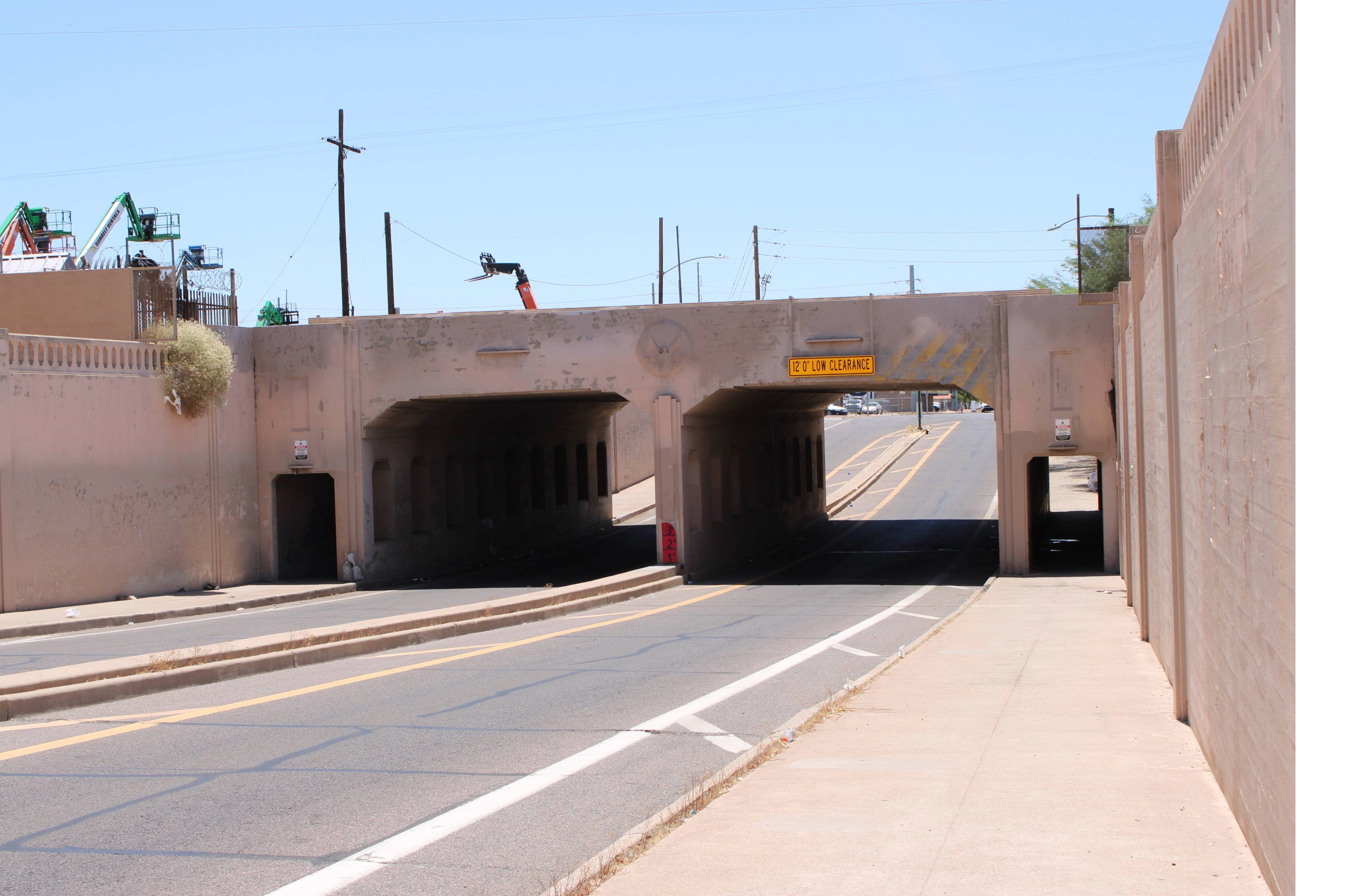
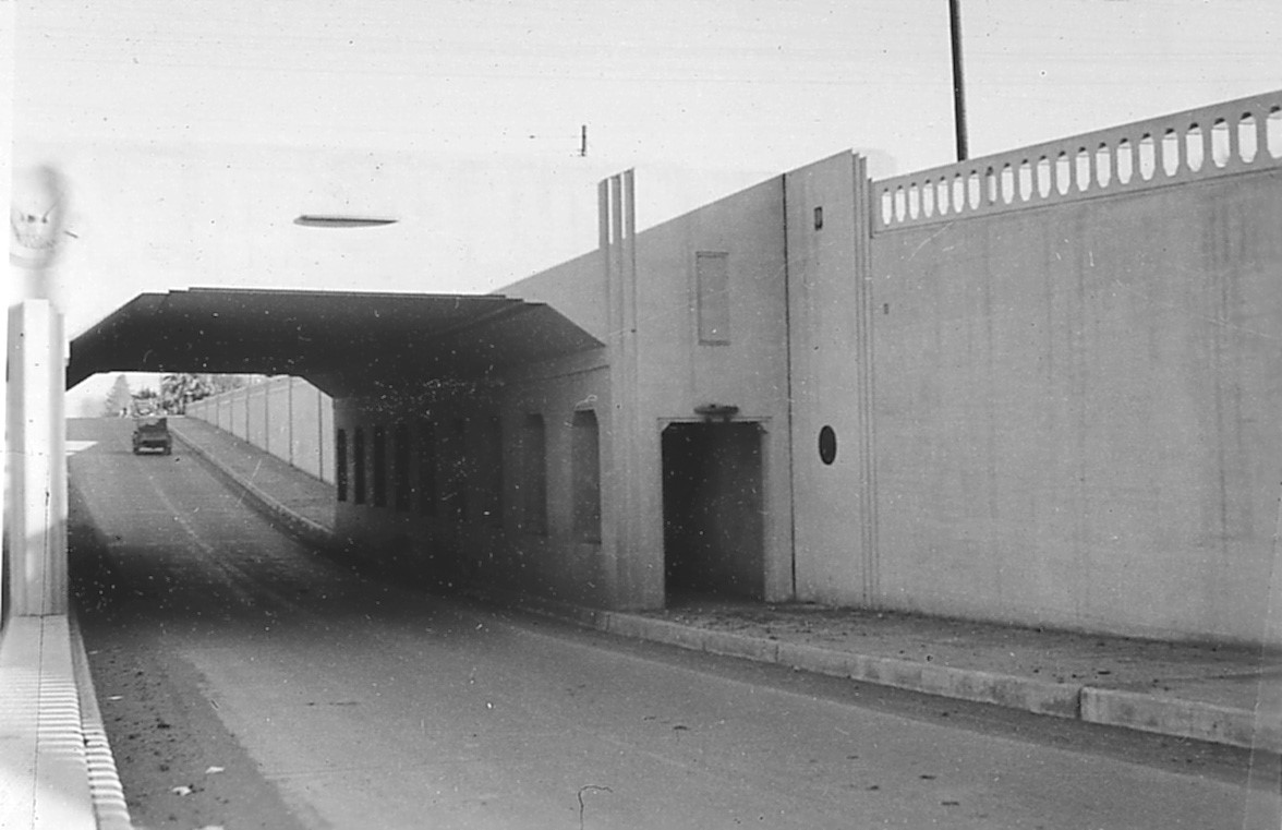
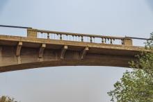
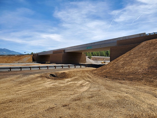
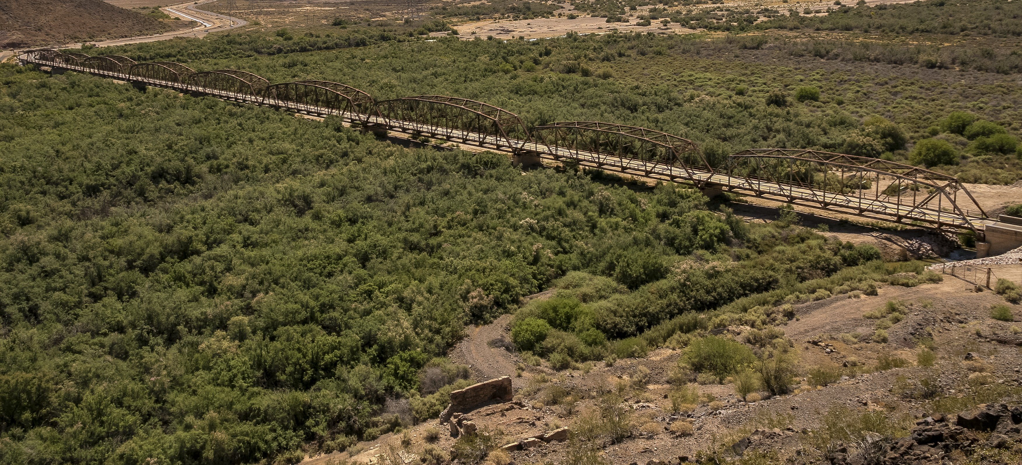
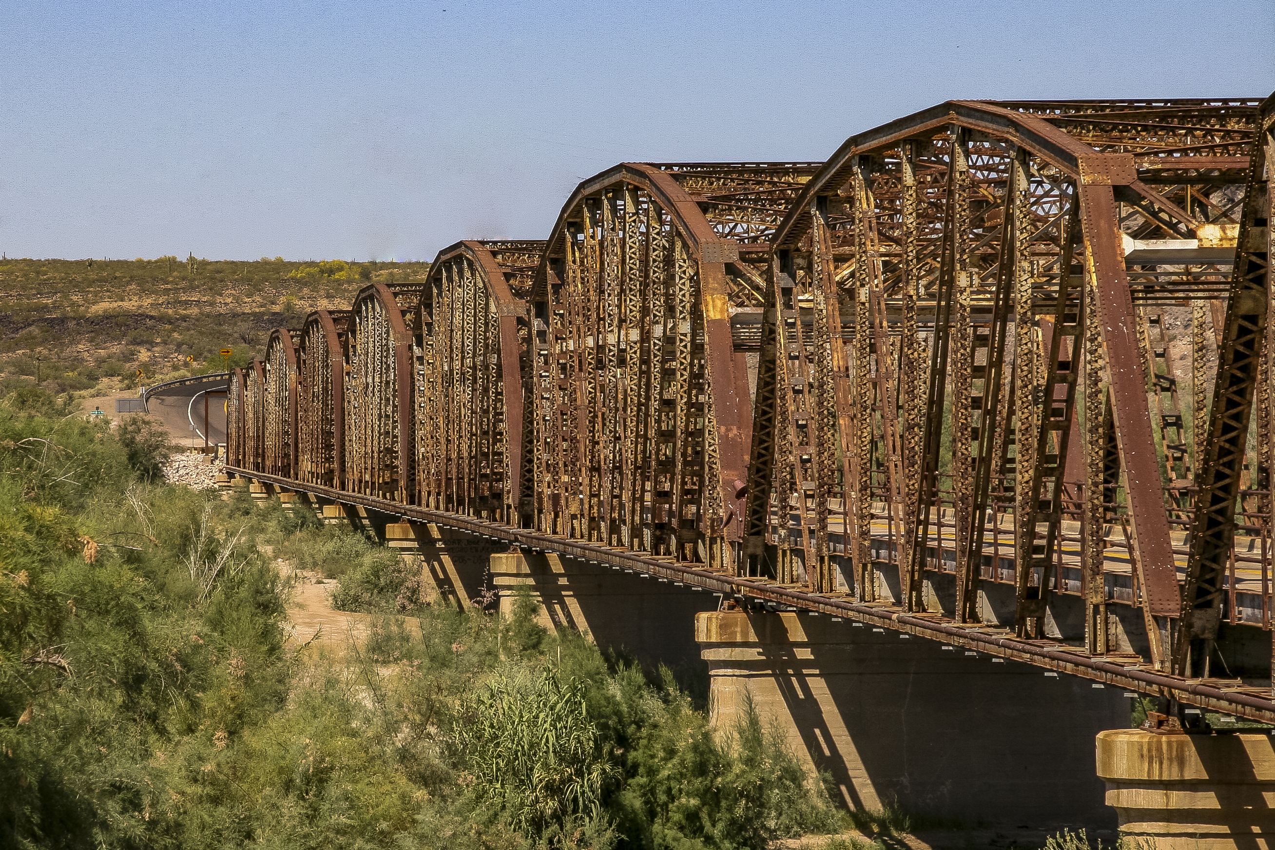
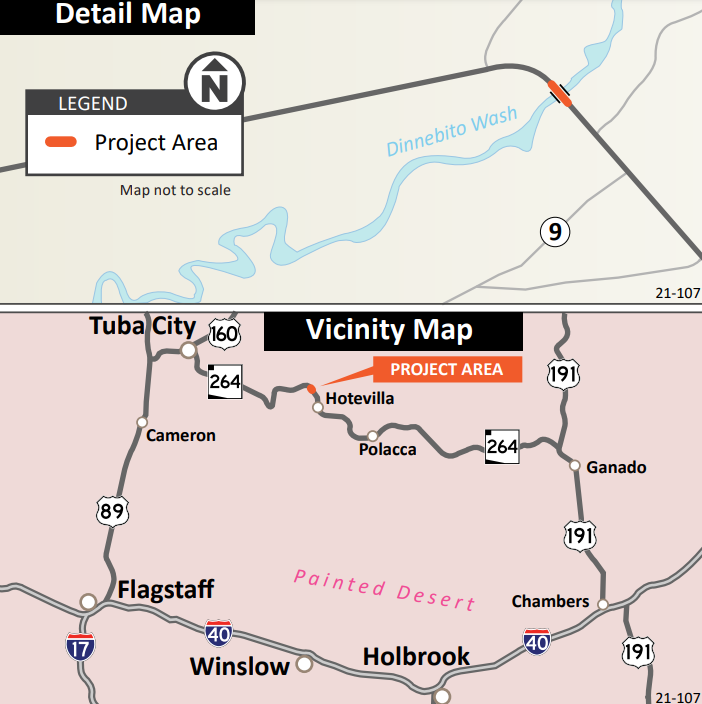
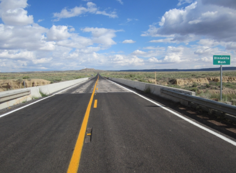
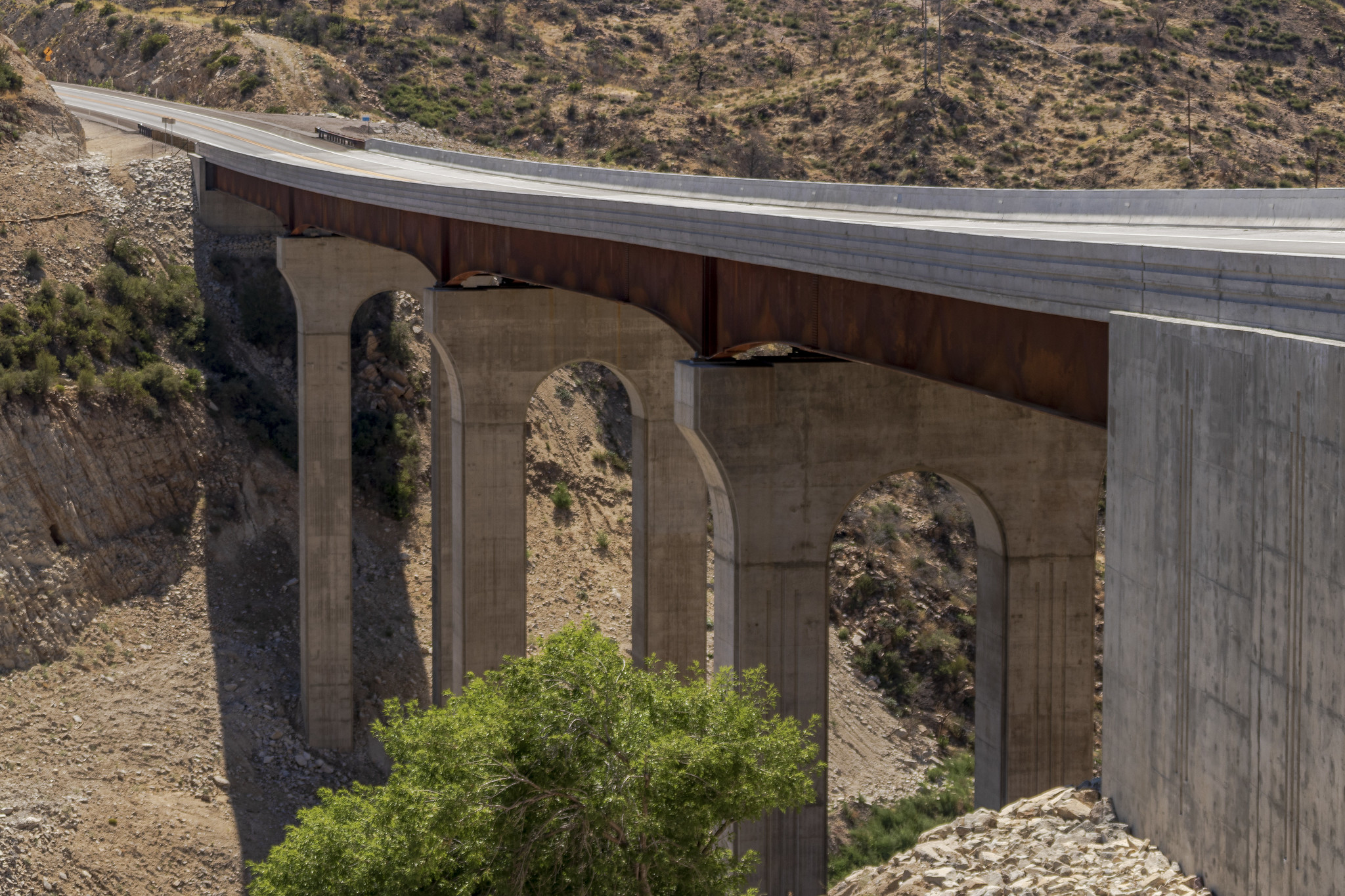
Arizona's highways feature more than 8,500 bridges ranging from wee to grand. Whether or not a highway trip takes you across Pinto Creek Bridge on US 60, Navajo Bridge on US 89A or Glen Canyon Bridge on US 89, you're almost certain to benefit from one of our bridges.
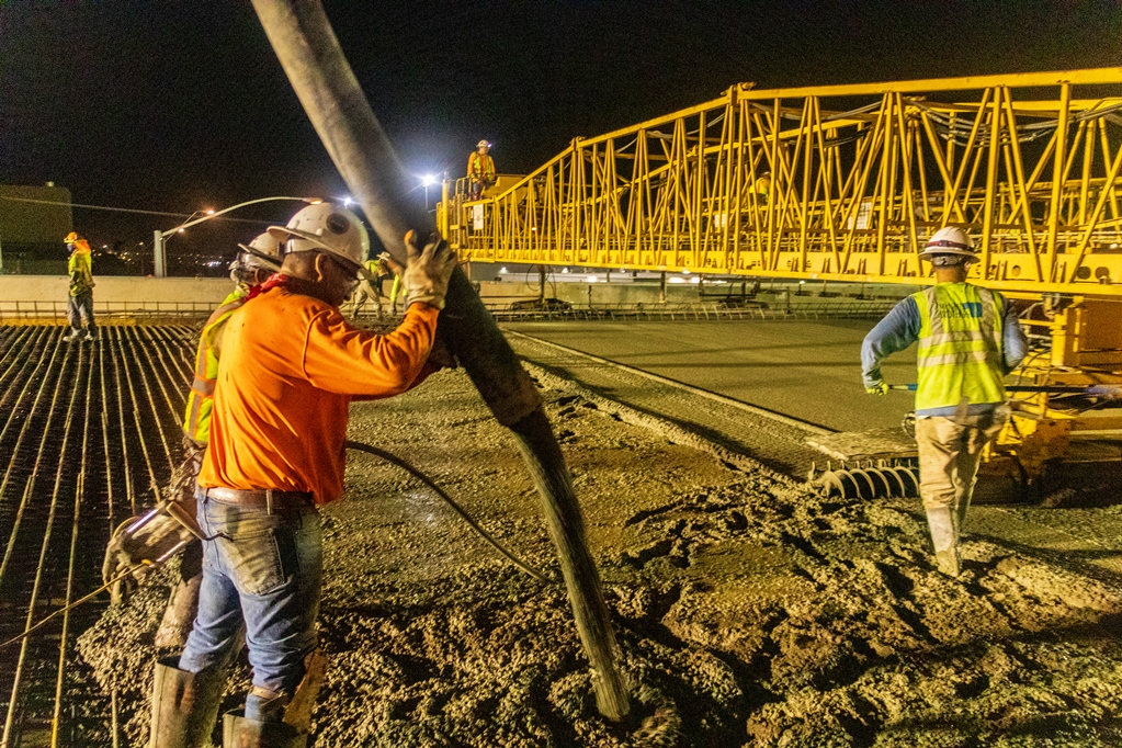
Arizona has an enviable record for the condition of state highway bridges. Some of that has to do with the relative youth of our infrastructure, but it also has a lot to do with the work of ADOT team members like David Benton, our State Bridge Engineer.
David joins On the Road With ADOT this week to share how his team looks out for the health of Arizona's bridges. Listen to him visit with host Doug Nintzel, and may come away with an appreciation for not just for that historic SR 88 trust bridge at Canyon Lake and what goes into keeping it in good condition.
You can subscribe to episodes of On the Road with ADOT through Apple Podcasts and Spotify. You also can find episodes at azdot.gov/Podcast and featured in ADOT Blog posts.