Southbound SR 143 ramp to eastbound I-10 to close (Jan. 26-29)
Southbound SR 143 ramp to eastbound I-10 to close (Jan. 26-29)
Southbound SR 143 ramp to eastbound I-10 to close (Jan. 26-29)
Southbound SR 143 ramp to eastbound I-10 to close (Jan. 26-29)
Broadway Road also closed between 48th and 52nd Streets
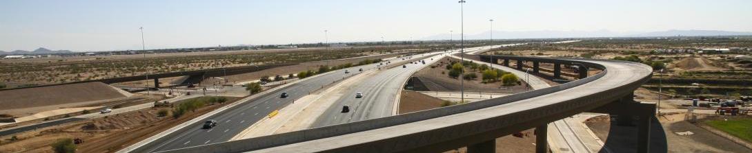
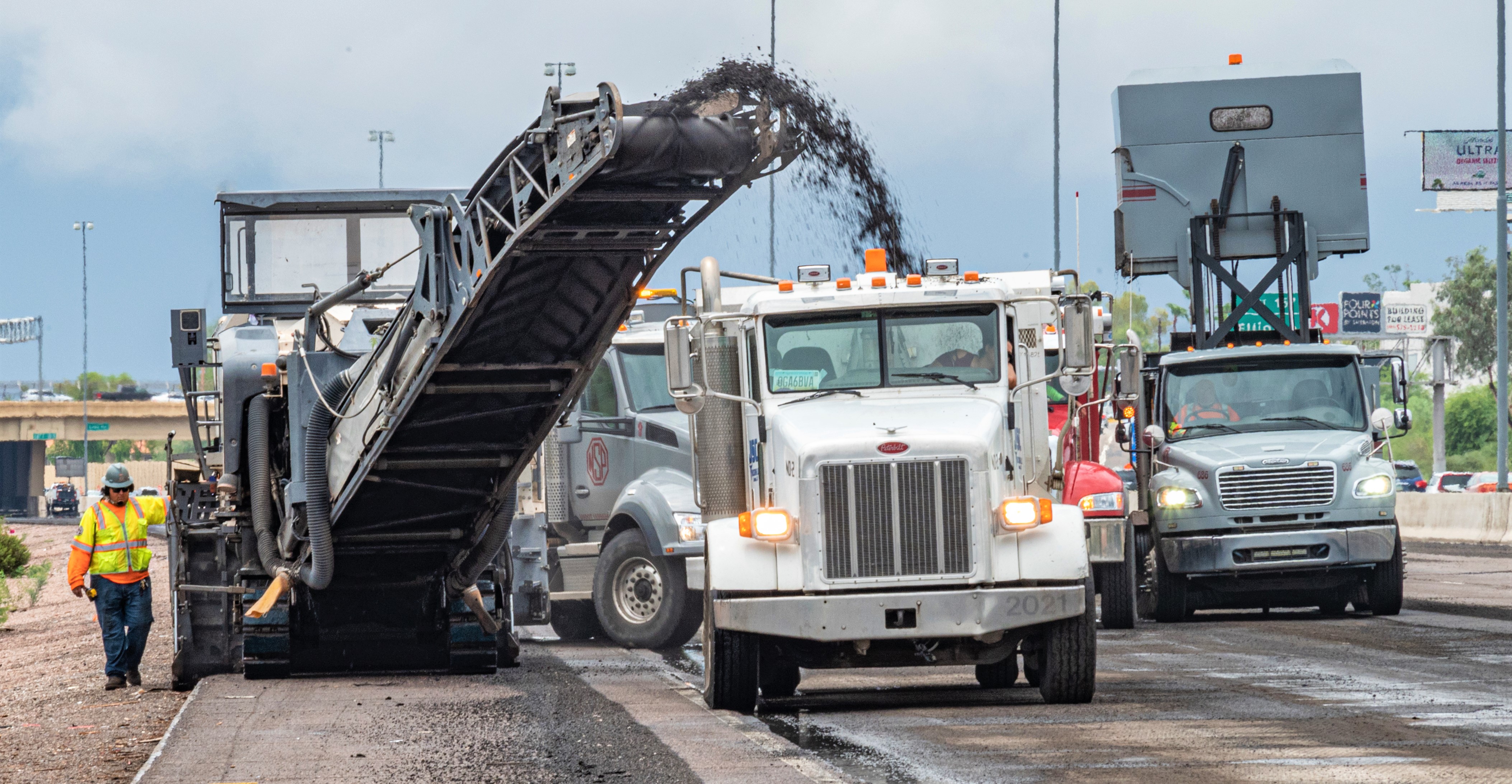
PHOENIX - The Arizona Department of Transportation is advising motorists to plan ahead and expect to use detours as the southbound SR 143 ramp to eastbound I-10 will be closed from 10 p.m. Friday, Jan. 26 through 4 a.m. Monday, Jan. 29 for a traffic shift. At the same time, the following will be closed.
- Broadway Road in both directions between 48th and 52nd Streets
- The eastbound I-10 on ramp at Broadway Road
- The connector ramp between 48th Street and Broadway Road
Eastbound I-10 detour: Use southbound SR 143/48th Street to westbound Broadway Road to northbound 40th Street to access eastbound I-10.
Westbound Broadway Road detour: Use westbound I-10 to southbound 40th Street to access eastbound I-10 and Broadway Road west of the closure.
Eastbound Broadway Road detour: Use southbound 48th Street to eastbound Southern Avenue to northbound Priest Drive to access Broadway Road east of the closure.
Please note: Schedules can quickly change because of weather and other unforeseen situations. For the most up-to-date information, we encourage you to download the Interstate 10 Broadway Curve Improvement Project’s free mobile app, TheCurve or visit the Alerts section of the project website before you travel.
###
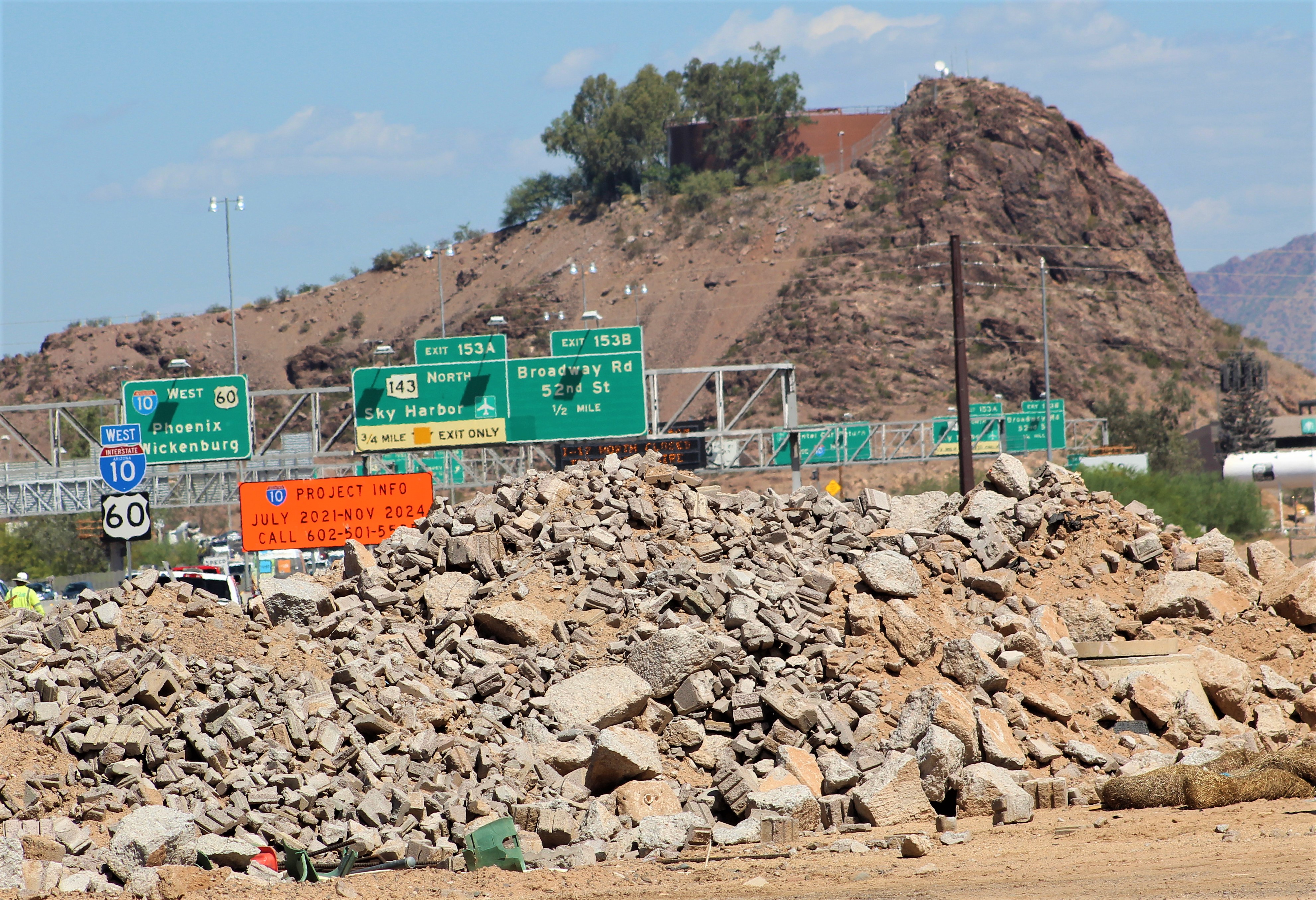
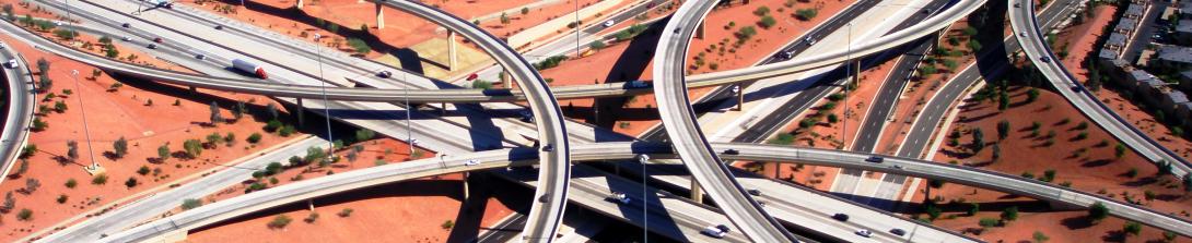
The I-10 Broadway Curve Improvement Project is identified in the Maricopa Association of Governments’ Regional Transportation Plan, funded by a half-cent sales tax approved by Maricopa County voters in 2004 through Proposition 400. MAG identified the need for this project to reduce travel times on I-10 during peak hours; improve airport access; support ridesharing and transit; and prepare the region for future growth projections. Learn more about the major improvements here.