State Route 87

Measuring slopes to prevent landslides

Measuring slopes to prevent landslides

SR24-1

Measuring slopes to prevent landslides

Measuring slopes to prevent landslides

By Laurie Merrill / ADOT Communications
February 16, 2021

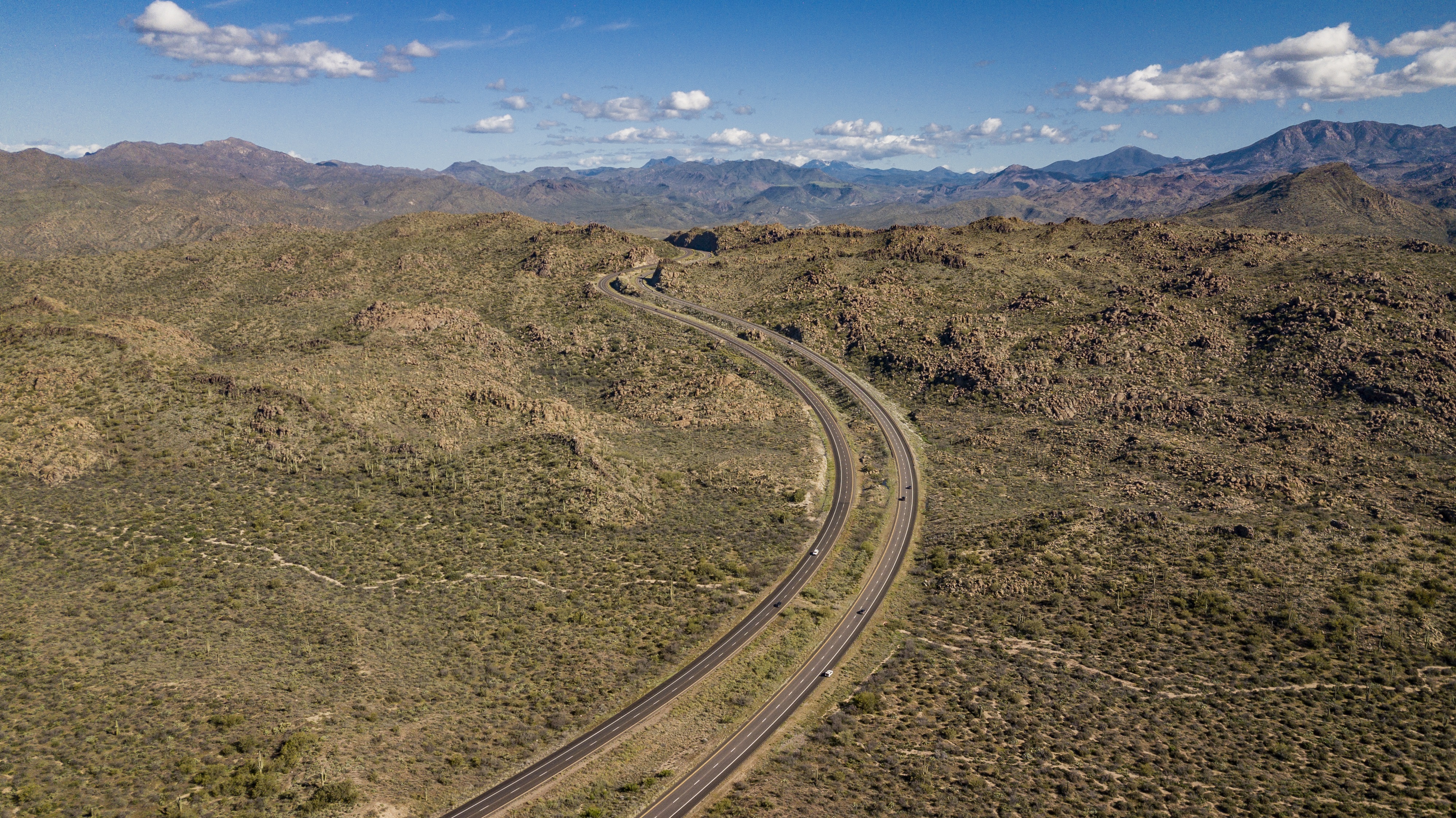
Arizona’s mountainous terrain is as beautiful to look at as it is to drive through, but keeping dirt from those slopes off roadways can pose a technical challenge.  

That’s one reason the Arizona Department of Transportation has deployed highly sophisticated measuring equipment on embankments across the state.

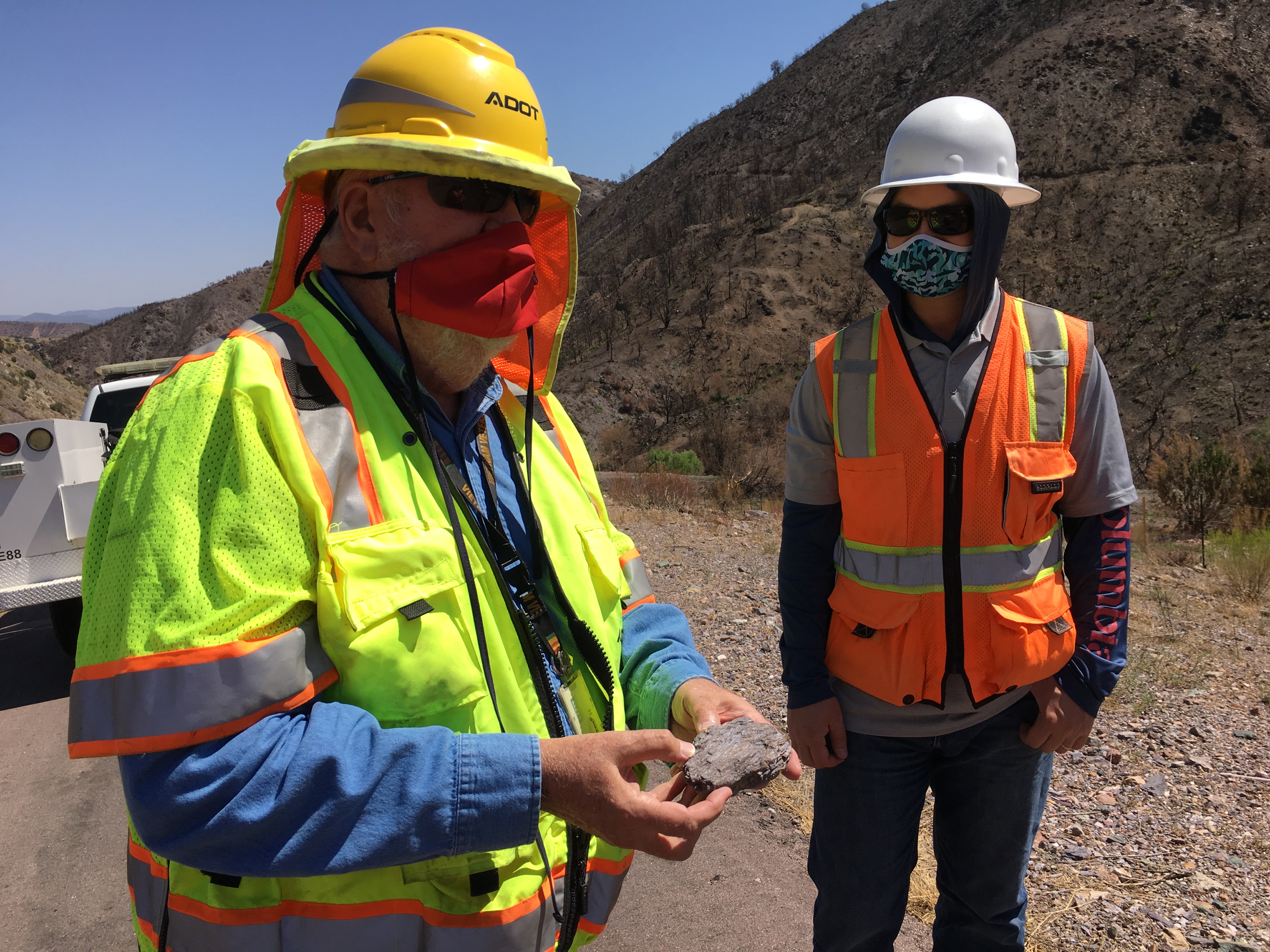
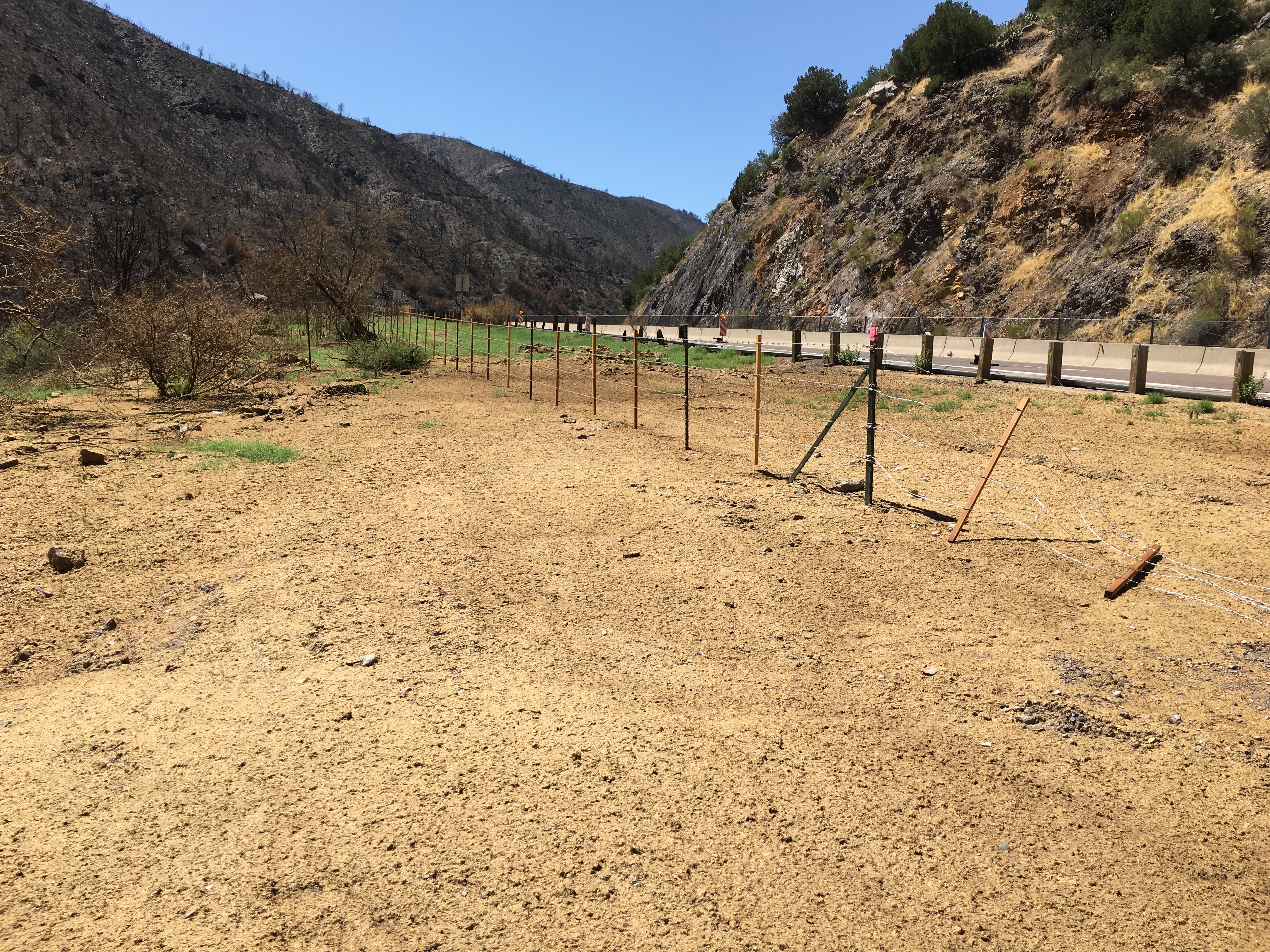
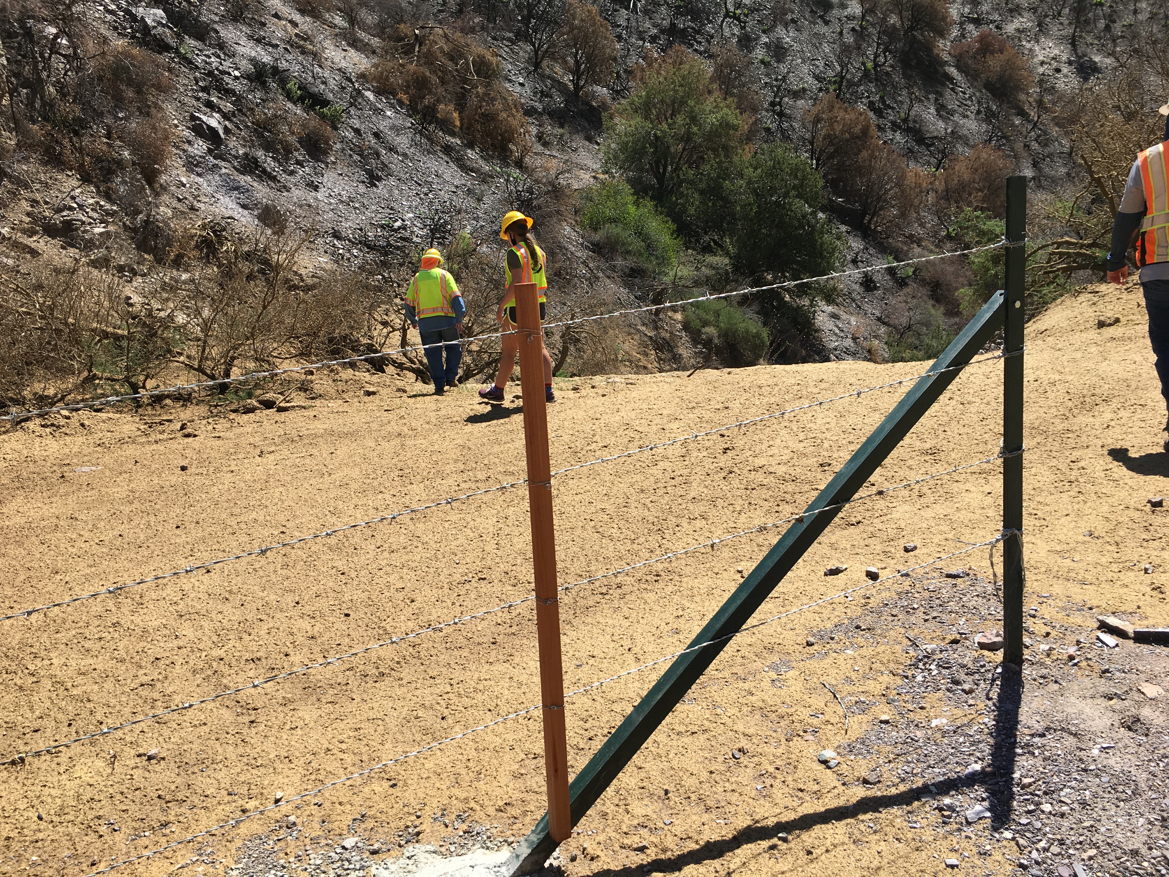
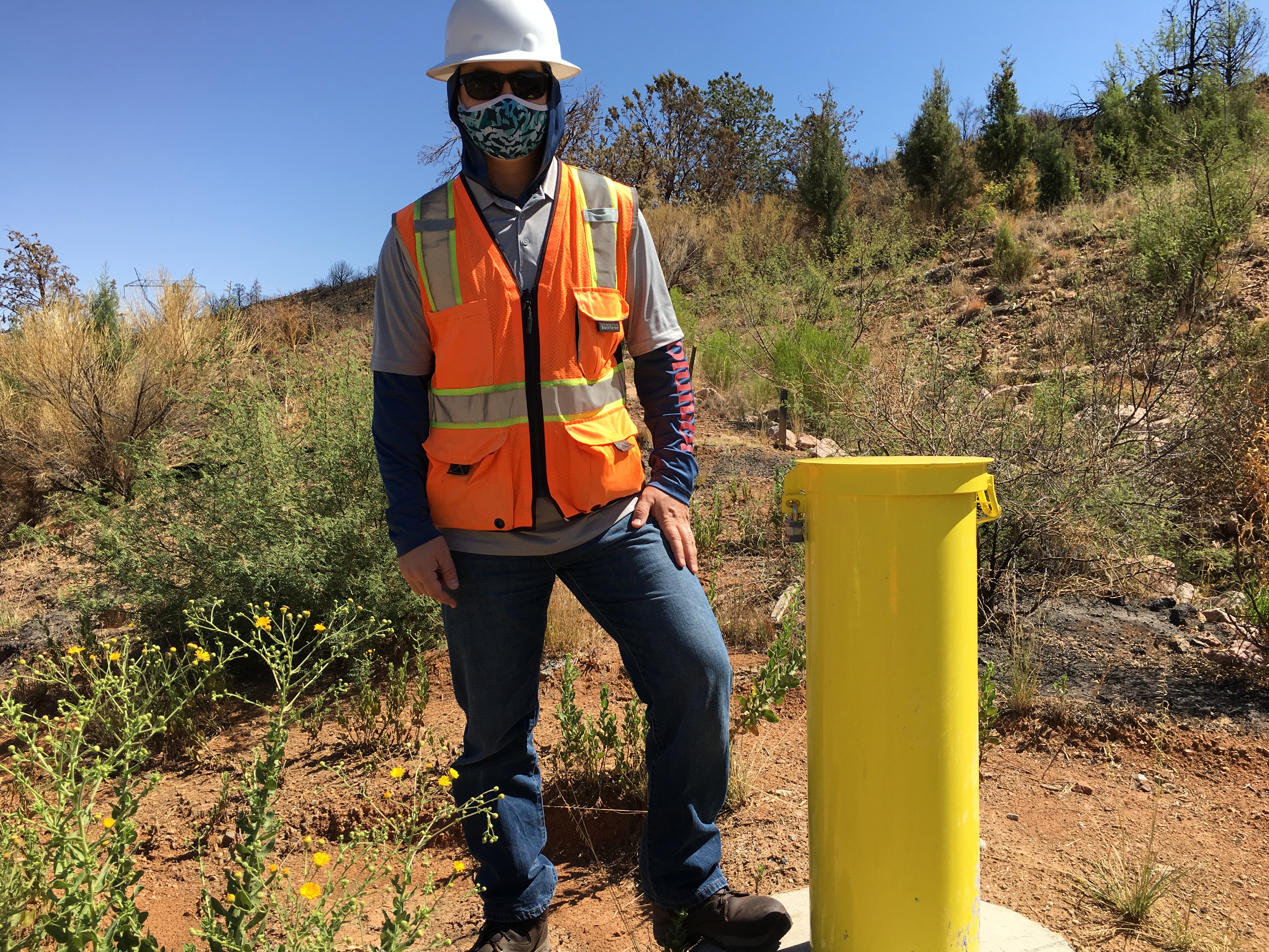
On a recent trip to State Route 87 between mileposts 224 and 225 south of Payson, ADOT Geologist James Lemmon and Engineer-in-Training Ivan Bystov inspected two examples of this technology. The hill they're working on is part of a decade-old landslide known as the Sunflower Landslide.  

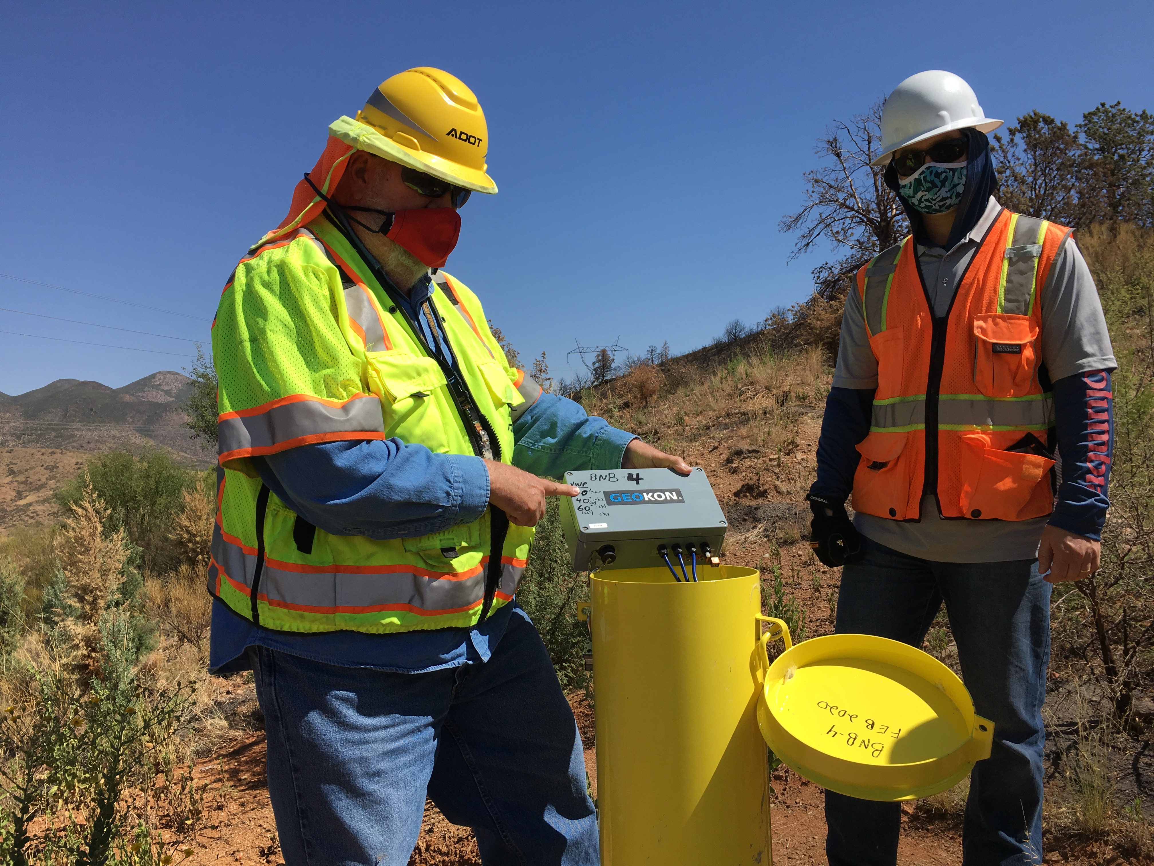
Lemmon and Bystov hiked along a ridge on the east side of the highway toward what looked like a yellow chimney sticking out of the hillside. In fact, the yellow riser is a steel casing to protect the inclinometer pipe and the piezometer equipment inside the well.  

The inclinometer enables scientists like Lemmon and Bystrov to measure the rate of slope movement over time.

“We are trying to see if there is a change or any instability,” said Lemmon, an ADOT Geotechnical Design Section-Bridge Group member.

The information is used to take preventive action if the hill is moving down a slope toward the roadway.  

“We know we must do something to buttress it to keep it from moving,” Lemmon said.

Lemmon said there are about 130 individual inclinometer wells installed at 30 embankment sites around the state. Sunflower Landslide has over 20 active inclinometers that are read on a regular basis. Some are on the roadway surface, many are on the near slopes and several are near the very top of the steep road cutouts and mountain slopes.

The piezometer measures moisture and saturation levels.

"When designing and constructing bridge foundations, we need to know the depth of where the saturated water level is under the surface so construction equipment doesn't sink and disappear into the saturated earth, Lemmon said. "And we design the foundation for a saturated groundwater situation. Those depths to water are measured by the piezometers."

The piezometer Lemmon and Bystrov displayed goes down about 60 feet deep, but Lemmon said there locations on the Sunflower Landslide where they go down nearly 400 feet deep.

Riprap and hydro-seeded mulch help keep SR 87 safe

Riprap and hydro-seeded mulch help keep SR 87 safe

SR24-1

Riprap and hydro-seeded mulch help keep SR 87 safe

Riprap and hydro-seeded mulch help keep SR 87 safe

By Laurie Merrill / ADOT Communications
January 27, 2021

Motorists traveling to Payson from the Valley along State Route 87 may be familiar with the road and scenery, but are probably unaware of the feats of science and engineering designed to keep them safe as they pass along the way.

“On State Route 87 we rebuilt things so we don’t have steep grades and windy roads and much of it is safer,” said ADOT Geologist James Lemmon. “We don’t want streams flooding and rocks falling onto the road.”

One such project is the soil cement and hydro-seeded mulch mixture that covers grouted riprap along the banks of Slate Creek on SR 87 northbound, at milepost 227. This is about 7 miles before SR 87 intersects with State Route 188. 

The hydro-seeded mulch mixture was created by E. LeRoy Brady, manager/chief landscape architect for the ADOT Roadside Development Section-Roadway Engineering.

Here are some of the components: hydraulically applied compost containing, among other elements, seeds of about 30 plants chosen specifically to suit the environment. These plants include desert senna, incienso brittlebush, desert marigold, arroyo lupine and more.  

The hydro-seeded mulch mixture feels spongy and light to walk on, almost like paper-mache. It stretches along the sides of the highway and parallels the guardrails. It follows the creek bank and hugs the sides of the culvert that carries the creek under SR 87.

Under the surface, on the banks of Slate Creek, are large quantities of massive stones and soil, known as riprap. The riprap is secured with grouted cement, allowed to cure, and then covered with the hydro-seeded mulch. Together, this prevents the earth from eroding and washing the road away. It also keeps Slate Creek’s water where is should be – in the creek, according to Lemmon, who works as a member of ADOT's Geotechnical Design Section-Bridge Group.

We know that most drivers won't even think about these bits of engineering the next time they escape to the cooler weather of the high country, but that's okay. If it's doing its job, you don't have to.

Scouts do a good turn by cleaning up SR 87 for Day of Service

Scouts do a good turn by cleaning up SR 87 for Day of Service

SR24-1

Scouts do a good turn by cleaning up SR 87 for Day of Service

Scouts do a good turn by cleaning up SR 87 for Day of Service

By Jon Brodsky / ADOT Communications
November 25, 2020

On a cool, November morning (by Arizona standards), a small group of scouts from Scottsdale gathered in a parking lot off State Route 87 in the Fountain Hills area. They wore yellow-and-orange vests, work gloves and face masks. 

The task for these Boy Scouts from Troop 616 in Scottsdale? Safely cleaning up trash on the side of the highway through ADOT’s volunteer Adopt a Highway program

“It’s pretty motivating,” said 15-year-old Pinnacle High School 10th grader Justin Hutchison, who worked to bend down his 6-foot-3-inch frame to pick up trash. “Especially with the pandemic going on it’s important we can get out and do projects, because that’s a big part of scouting.”

The Nov. 14 cleanup was part of the Boy Scouts’ Grand Canyon Council’s Day of Service. The troop covered between mile markers 190 and 192 on the Beeline Highway, a stretch that starts the gateway to the Mogollon Rim.

“We camp quite often as a troop in the Payson area at the two Boy Scout camps up there so we drive ... 87 quite a bit,” said Scoutmaster David Hutchison (yes, Justin’s father!), who shepherded the troop through the cleanup along with the other adult scout leaders.  

“We’re just trying to serve the community,” the scoutmaster added. “A lot of them think it’s really cool because they’ve never done it, but as scouts we try and instill in them the values of the Scout Law, and providing service and giving back to the community is a big part of that, so they’re all more than happy to do this.”

The troop spread out, socially distanced along the stretch in small groups, filling two dozen bags of trash by the end of the morning.  

You can be like Troop 616 and volunteer to Keep Arizona Grand. Adopt a Highway is limiting cleanups during the current public health situation to smaller groups, as recommended by the Arizona Department of Health Services and Centers for Disease Control and Prevention. If your organization is interested in participating in a cleanup and/or adopting a stretch of Arizona highway, visit the Adopt a Highway webpage

Scoutmaster Hutchison summed up the lessons of the day of service by saying, “They’ll leave today with a lot of pride in what they’ve accomplished.”

“I like the fact that we can help our city and our state and everything,” Scout Justin Hutchison said. “We’re big about helping the community.”

On this day in 1996, much of SR 87 became Duthie-Martin Highway

On this day in 1996, much of SR 87 became Duthie-Martin Highway

SR24-1

On this day in 1996, much of SR 87 became Duthie-Martin Highway

On this day in 1996, much of SR 87 became Duthie-Martin Highway

By Laurie Merrill / ADOT Communications
July 20, 2020

On this day in 1996, the route commonly called the Beeline Highway was officially named Duthie-Martin Highway between the Valley and Payson. That designation honors two law enforcement officers who lost their lives in the line of duty along that stretch of SR 87.

The name change was the result of a resolution approved by the Arizona Legislature.

Arizona Department of Public Safety Officers Gilbert Duthie and Robert Martin were killed 25 years apart on the highway, which is also known as State Route 87.

On Sept. 5, 1970, Duthie, (Badge No. 143), was driving on SR 87 on his way to help citizens who had been stranded by flooding. But Sycamore Creek had overflowed and taken out part of a bridge, and Duthie drowned after his cruiser washed away. He was 39.

On Aug. 15, 1995, Robert Martin (Badge No. 474), was conducting a traffic stop on SR 87 about 7 miles north of Shea Boulevard when he was fatally shot. He was 57.

A monument for the Duthie-Martin Highway sits at the spot of the shooting.

The highway, which stretches from Casa Grande to Arizona 264 in Second Mesa, has enjoyed numerous names and extensions since 1924, when it was designated Arizona 87. In 1959, after considerable miles were added to it, it became the Beeline Highway because it makes a “beeline” for the high country of Payson. This blog from earlier this year has more information on the history of SR 87 north of Payson.