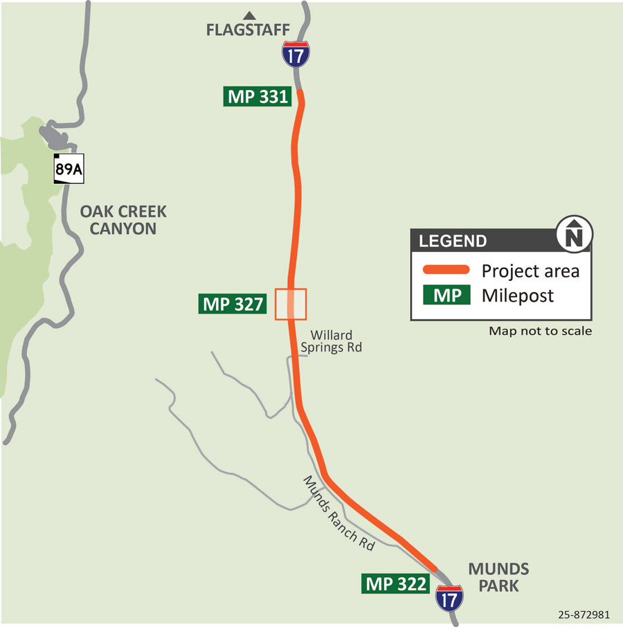
The Arizona Department of Transportation has initiated a wildlife overpass and fence installation project along Interstate 17 between Kelly Canyon and Munds Park (mileposts 322-331) south of Flagstaff.
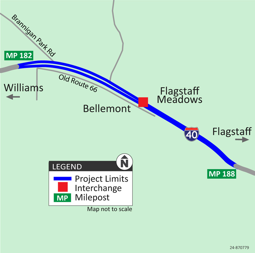
The Arizona Department of Transportation, in cooperation with Coconino County, has completed a Design Concept Report (DCR) Update for the Bellemont (Hughes Avenue) Traffic Interchange (TI) located on Interstate 40 at milepost (MP) 185.
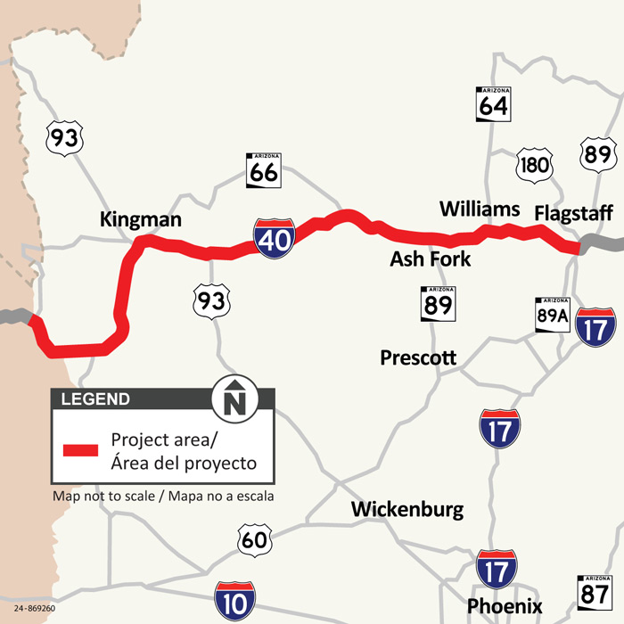
The Arizona Department of Transportation has initiated a project to install more than 200 miles of high-speed fiber-optic infrastructure along Interstate 40 between the Arizona-California state line and Flagstaff (mileposts 0-201).
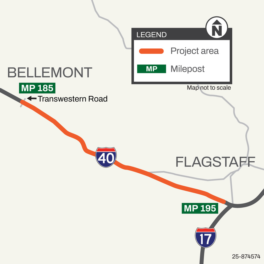
ADOT is installing variable speed limit signs on I-40 between Bellemont and Flagstaff (mileposts 185–195) to help drivers adjust speed during bad weather, crashes, or construction. Construction began in late spring 2026 and anticipated for completion by late fall 2026.
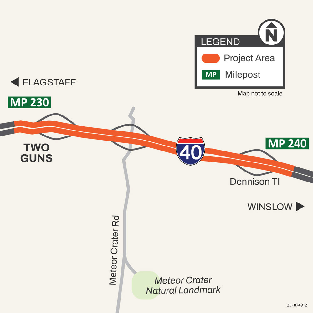
The Arizona Department of Transportation has initiated a pavement preservation project along I-40 approximately 15 miles west of Winslow between the Two Guns and Meteor CIty Road (mileposts 230-240). The project began in late summer 2025 and anticipated for completion by fall 2026.
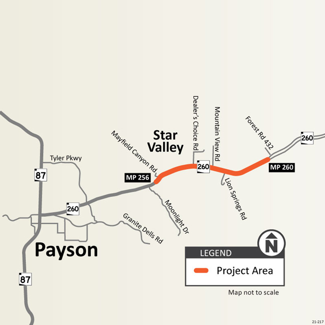
The Arizona Department of Transportation began construction on the State Route 260 Lion Springs Improvement project east of Payson in June 2026. The project is anticipated to take approximately two and one-half years to complete.
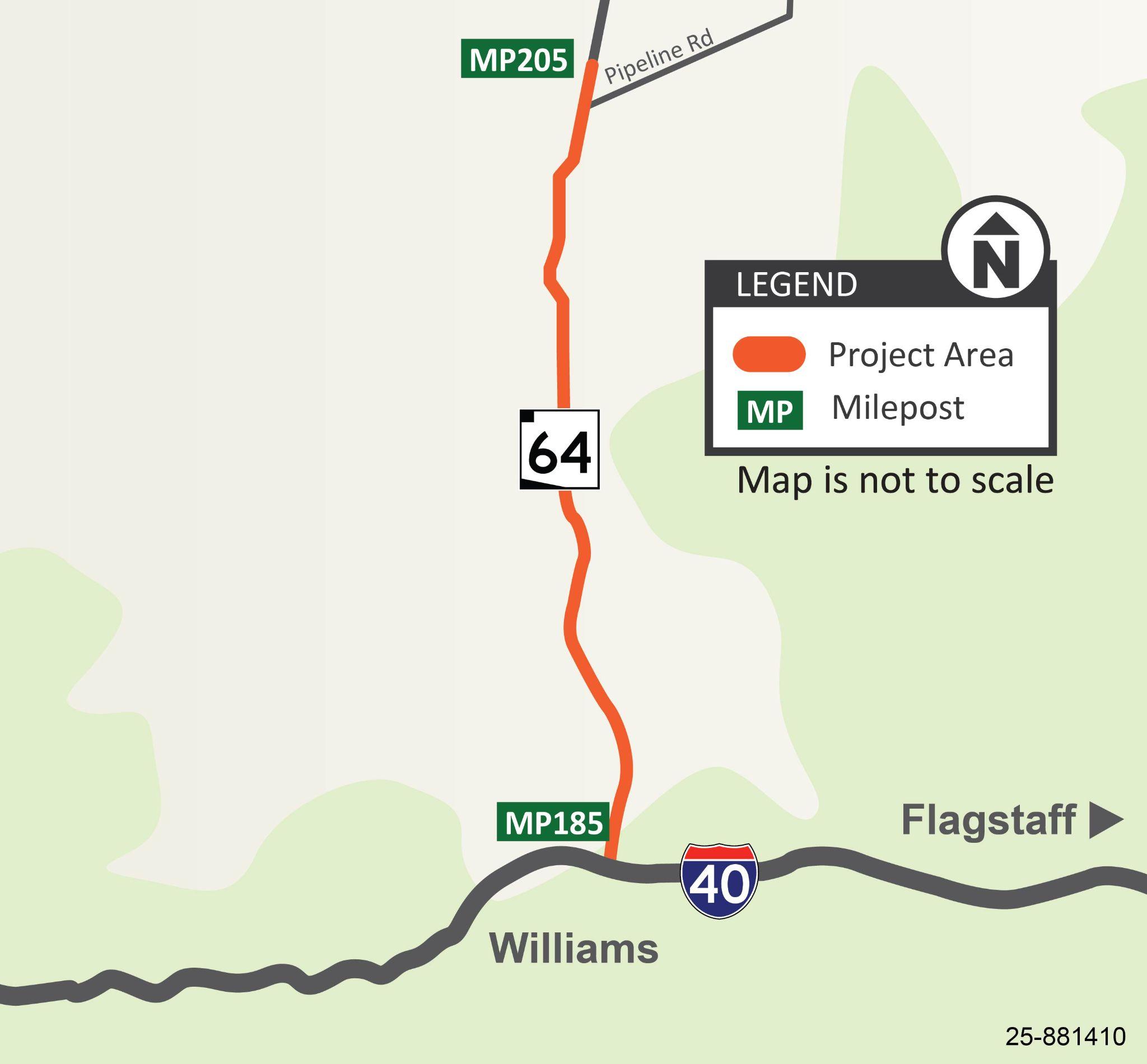
The Arizona Department of Transportation has initiated a pavement preservation project along State Route 64 between I-40 in Williams and Pipeline Road (mileposts 185-205).
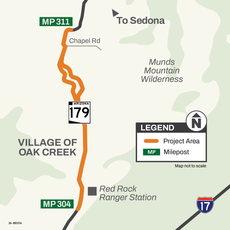
The Arizona Department of Transportation has initiated a pavement preservation project along State Route 179 between the Red Rock Ranger Station just south of the Village of Oak Creek and Chapel Road (mileposts 304-311).
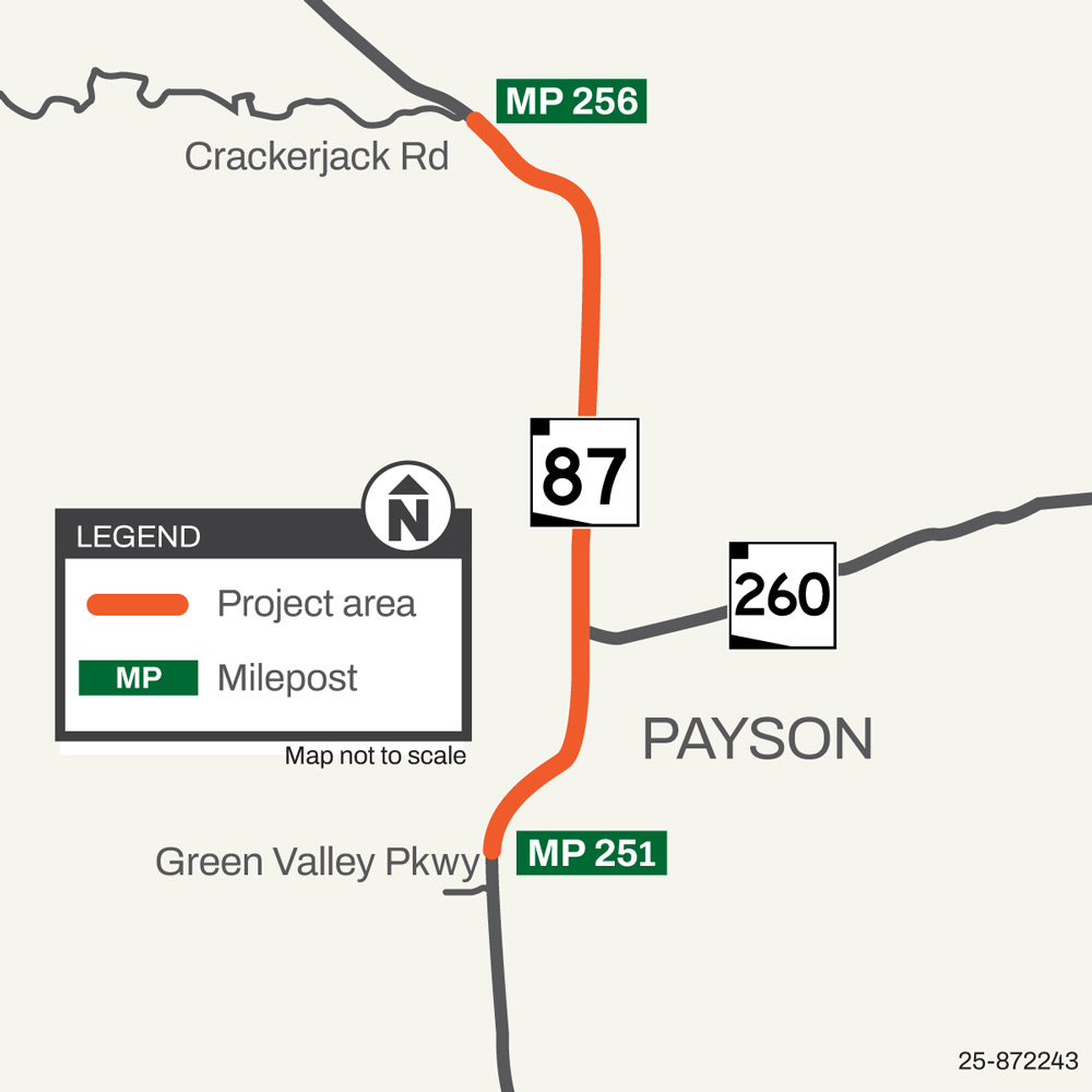
The Arizona Department of Transportation has initiated a street improvement project along State Route 87 between Green Valley Parkway and Crackerjack Road in Payson (mileposts 251-256).
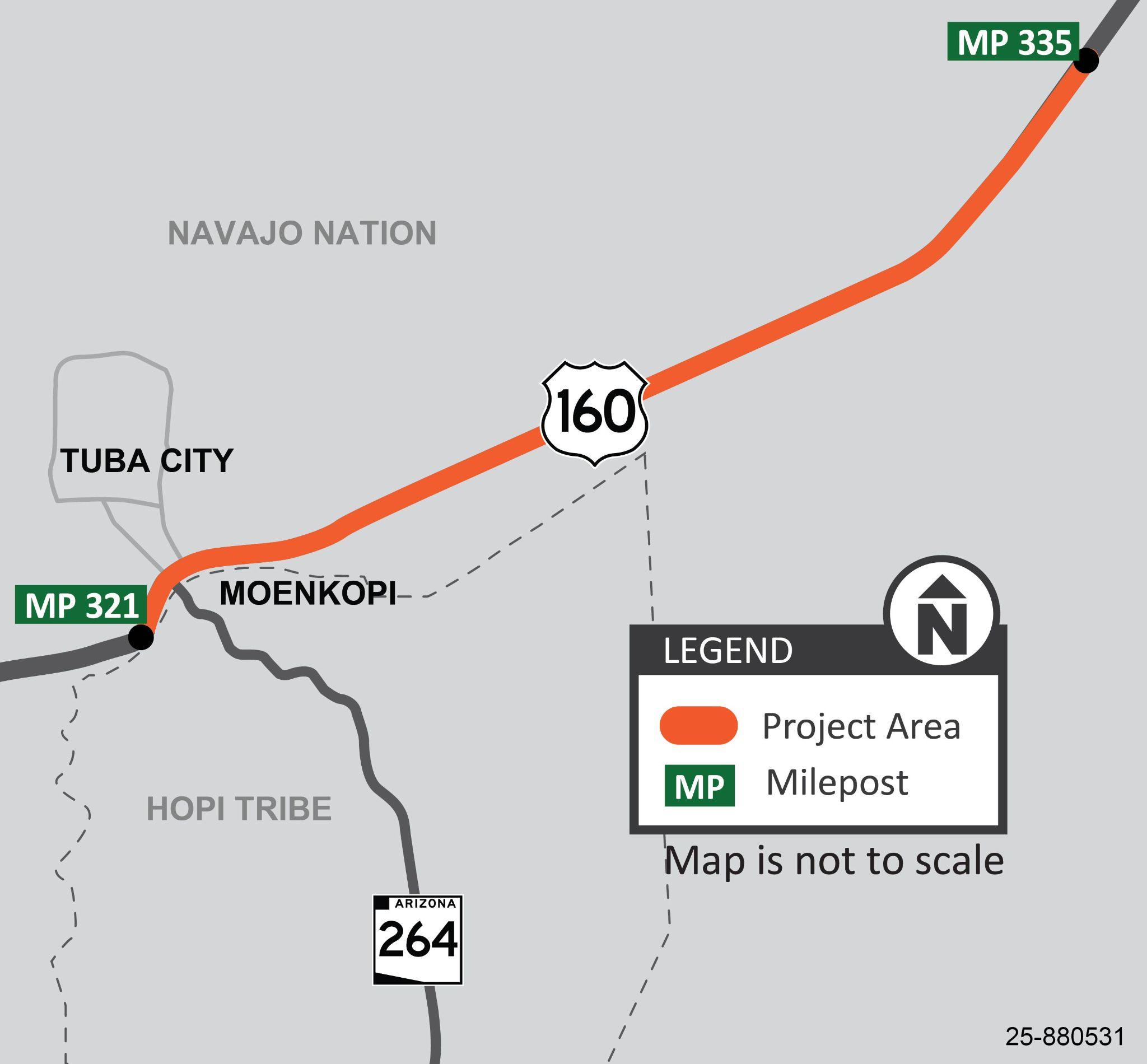
The Arizona Department of Transportation, in cooperation with the Navajo Nation and Hopi Tribe, has initiated a pavement preservation project along US 160 near Tuba City (mileposts 321-335).