• About
  • News
  • Blog
  • FAQ
  • Fast Facts
Subscribe for updates
Home
  • HOME
  • PROJECTS
  • BUSINESS
  • PLANNING
  • CONTACT US
  • Traffic Conditions
  • Motor Vehicle Division
  • About
  • News
  • Blog
  • FAQ
  • Fast Facts
Drone view of freeways

User account menu

Log in
  1. Home
  2. Planning
  3. Transportation Studies
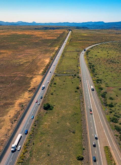
Flex lane study

Transportation Studies

This section provides information about projects in the study/decision-making phase. Learn more about projects in the construction phase on the Projects page.

Current Studies

Corridor Profile Studies

Corridor Profile Studies are divided into two parts: the northern and the southern part of the state. The Statewide Map shows all the corridors that are being studied. 

...

Interstate 10 / Loop 101 System Interchange

The Arizona Department of Transportation has initiated a study to evaluate improvements to the Loop 101 (Agua Fria Freeway) and Interstate 10 system traffic interchange...

I-11 and Intermountain West Corridor Study

The study includes detailed corridor planning of a possible high-priority interstate link between Phoenix and Las Vegas, and high-level visioning for potentially...

Sonoran Corridor Tier 1 Environmental Impact Statement

In February 2017, the Federal Highway Administration (FHWA) and ADOT initiated the environmental review process for the Sonoran Corridor, a potential new transportation...

Grand-35 Study - US 60 (Grand Avenue), 35th Avenue and Indian School Road Intersection Improvements

The study is evaluating potential transportation improvements at the intersection of Grand Avenue, 35th Avenue, Indian School Road and the BNSF railroad crossing to...

Grand Canyon National Park Airport Master Plan

The goal of the Airport Master Plan is to provide the framework needed to guide future airport development that will cost-effectively satisfy aviation demand, while...

Grand Canyon National Park Airport Drainage Master Plan and Water Use Study

A Drainage Master Plan and Water Use Study for the Grand Canyon National Park Airport (GCN) has been initiated to assess its existing airport drainage deficiencies, level...

Loop 101: 67th and 59th Avenues Traffic Interchange Improvements Study

The Arizona Department of Transportation has initiated a traffic interchange study, in partnership with the Maricopa Association of Governments (MAG) the city of Glendale...

North-South Corridor Study

A highway study in Pinal County that would improve regional connectivity, provide an additional way of getting around a growing area of the Sun Corridor, and address...

ADOT Planning Study GIS Template Data

Please download the template data and submit the completed attributes table for each project recommended from the planning study to the ADOT MPD Project Manager upon...

Interstate 10/Baseline Road Traffic Interchange

The Arizona Department of Transportation (ADOT) is studying potential improvements to traffic flow and safety at the I-10/Baseline Road traffic interchange. 

Douglas International Commercial Port-Of-Entry Connector Road Study

The Arizona Department of Transportation, in coordination with the Federal Highway Administration, US General Services Administration (GSA), the city of Douglas and...

I-10/Jackrabbit Trail Traffic Interchange Study

The Arizona Department of Transportation has initiated a study, in partnership with the  Maricopa Association of Governments (MAG), the Maricopa Department of...

Riggs Road Traffic Interchange at SR 347

The Arizona Department of Transportation has initiated a scoping study, in partnership with the Maricopa Association of Governments (MAG) and the Gila River Indian...

Arizona Statewide Rest Area Study

The Statewide Rest Area Study provides a blueprint for how ADOT plans to preserve, rehabilitate, modernize and expand the state’s rest areas during the next 20 years. The...

Completed Transportation Studies

More Studies

  • Binational Freight Corridor Study
  • Binational San Luis Transportation Study
  • Central District Freeway Frontage Road Traffic Control Study
  • Interstate 10 / Baseline Road Traffic Interchange
  • I-10 Bridge Project
  • I-10 and State Route 210 Study
  • I-10 / Houghton Traffic Interchange Study
  • I-10, SR 202 (Santan) to SR 387
  • I-10 Wild Horse Pass Corridor
  • I-15 Virgin River Bridge No. 1 Study
  • I-17: Anthem Way to Cordes Junction/State Route 69
  • I-17: Central Avenue Bridge Replacement Study
  • I-17: Indian School Road Traffic Interchange Study
  • I-17 Near-Term Auxiliary Lanes Study
  • Loop 101 (Price Freeway) Study: US 60 to Loop 202
  • Loop 303: SR 30 to Hassayampa Freeway Study
  • Loop 303: I-10 to SR 30 Study
  • Milton Rd Corridor Master Plan
  • Nogales Bicycle and Pedestrian Master Plan / Royal Road Multi-Use Path
  • San Carlos Apache Tribe Long Range Transportation Plan Update
  • Smart Work Zone (SWZ) Technical Concept Study
  • SR 30: Loop 303 to Loop 202 Study
  • SR 51 Ramp Meter Study
  • SR 87 Corridor Development Study
  • US 180 Corridor Master Plan
  • Wildlife Vehicle Conflict Study
  • Willcox Circulation Study

View Completed Transportation Studies 

Official Seal of the State of Arizona
  • MVD Services
    • Hours and Locations
    • Online Services
    • Driver Services
    • Business Services
    • MVD Forms and Publications
  • News
    • ADOT Blog
    • News Releases
    • Arizona Highways Magazine
  • Careers
    • Current Job Opportunities
    • Employee Benefits
    • Opportunities for Veterans
  • Resources
    • Civil Rights
    • Executive Hearing
    • Governor's Website
    • Law Enforcement
    • Report Fraud
    • AZ Crash Report / Training Resources

Translate:


Copyright © Arizona Department of Transportation – All rights reserved.

  • Civil Rights/ADA
  • Derechos Civiles/ADA
  • Website Policies