Here are some of our weather-related tweets since Thursday morning, including on-the-scene reports from Flagstaff by our own Doug Nintzel.
Today's challenge features a famous Arizona location.
Our employees see a variety of emergencies on freeways, but recently, thanks to some keen observation, one was able to help two motorists who faced a silent danger.
Heavy winter weather this past week allows us to talk about how our two snowblowers are essential for clearing state highways that see a lot of snow.
Take a look at signs that will grace state highways celebrating a park that draws millions each year from around the world.
For this Throwback Thursday, we look back to a 1973, when safety standards were a little different than they are today.
More than 6,000 people downloaded our ADOT Alerts App during the recent big storm. If you haven't already, we hope you'll check it out at ADOTAlerts.com.
This week's challenge could be easy if you searched the Internet for the answer, but we know you'll play fair!
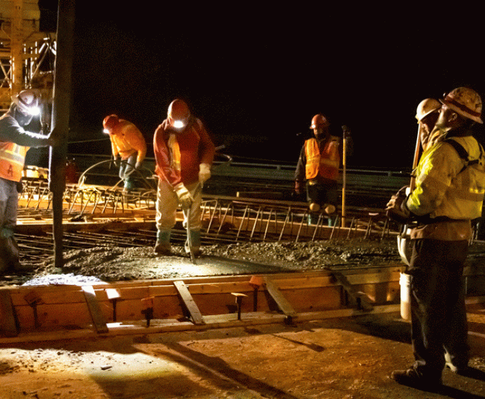
It's a common question - why isn't all construction done at night? There are actually a number of factors weighing into what work can be done at night and what needs to be done during daylight.
Take an interactive before-after look at a bridge demolition that's part of a project building a wider I-10 between Eloy and Picacho in central Arizona.
ADOT is updating the Strategic Highway Safety Plan with a renewed emphasis. You can read more about it.
Recently ADOT switched to using Google for our email services. While a big switch, it has nothing on two phone projects the agency took on in the late 70s and early 80s.
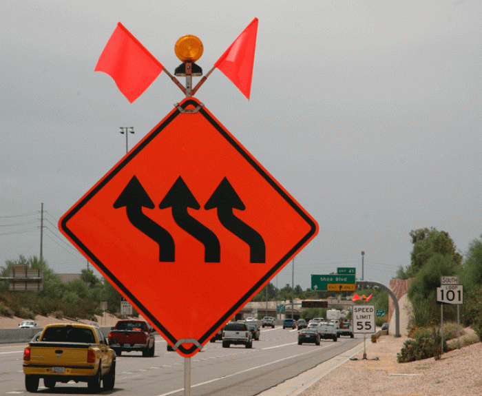
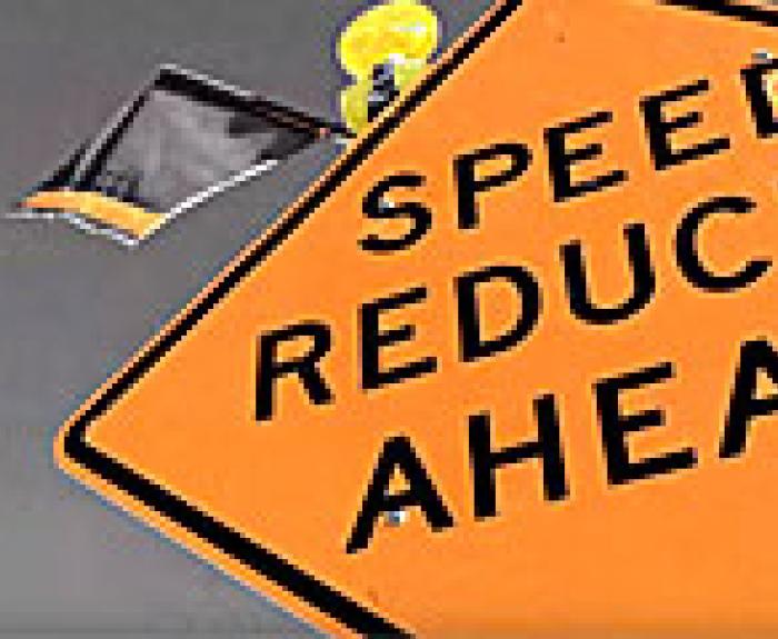
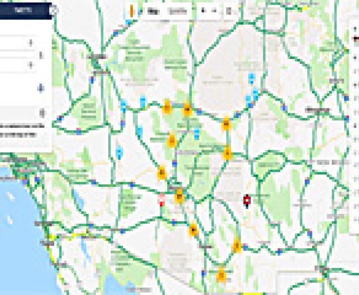
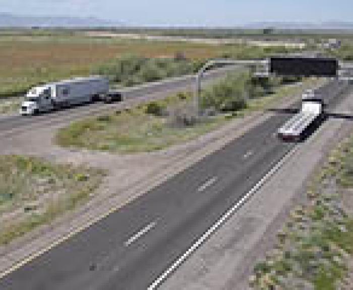
Work zones go hand-in-hand with freeways. We want everyone - including our crews - to get home safely, so here are a few tips on how to navigate construction zones.
A swirl of cloud and some mountains are the clues to help you located this week's "Where in AZ??" challenge.
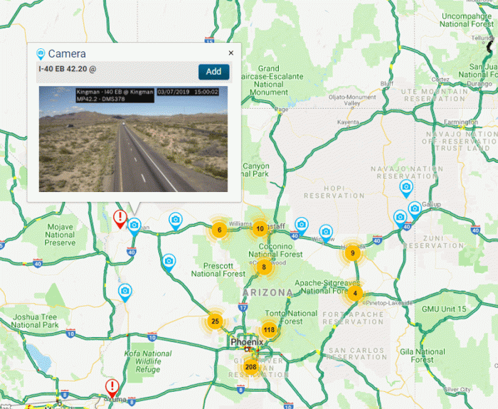
Thanks to the work of our photographers, ADOT's Flickr page has more than 9,000 pictures of highway projects from the last six years, which have been viewed more than 6 million times.
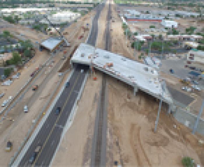
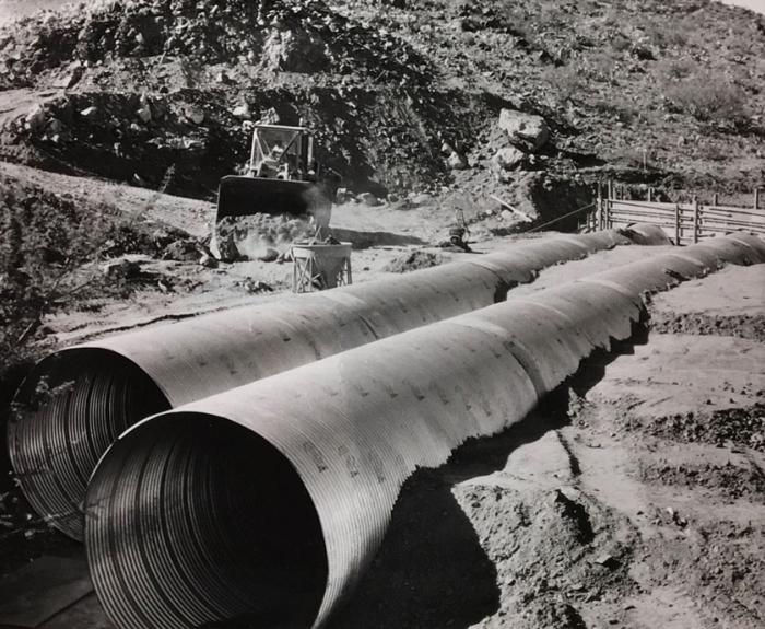
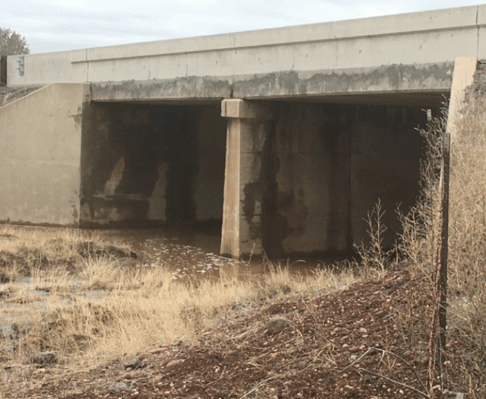
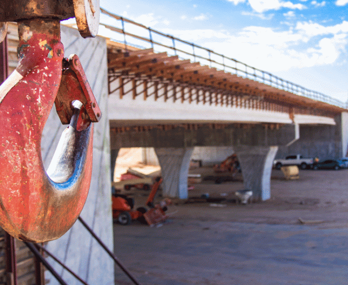
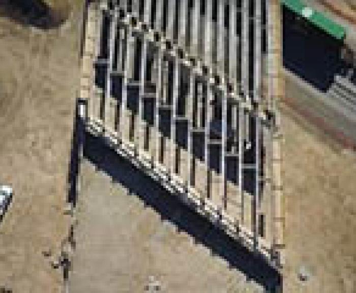
An easy-to-use interactive map now available on our Adopt a Highway website shows which stretches are in need of volunteers.
We've launched a redesigned az511 website and phone line to better give individual drivers the information they need for the routes they drive.
We are throwing back to a reconstruction project in the 1970s of one of the state's lesser-used highways.
Crews are out putting up new signs celebrating 100 years of Grand Canyon National Park.
This creek may help you identify this week's "Where in AZ??" location.