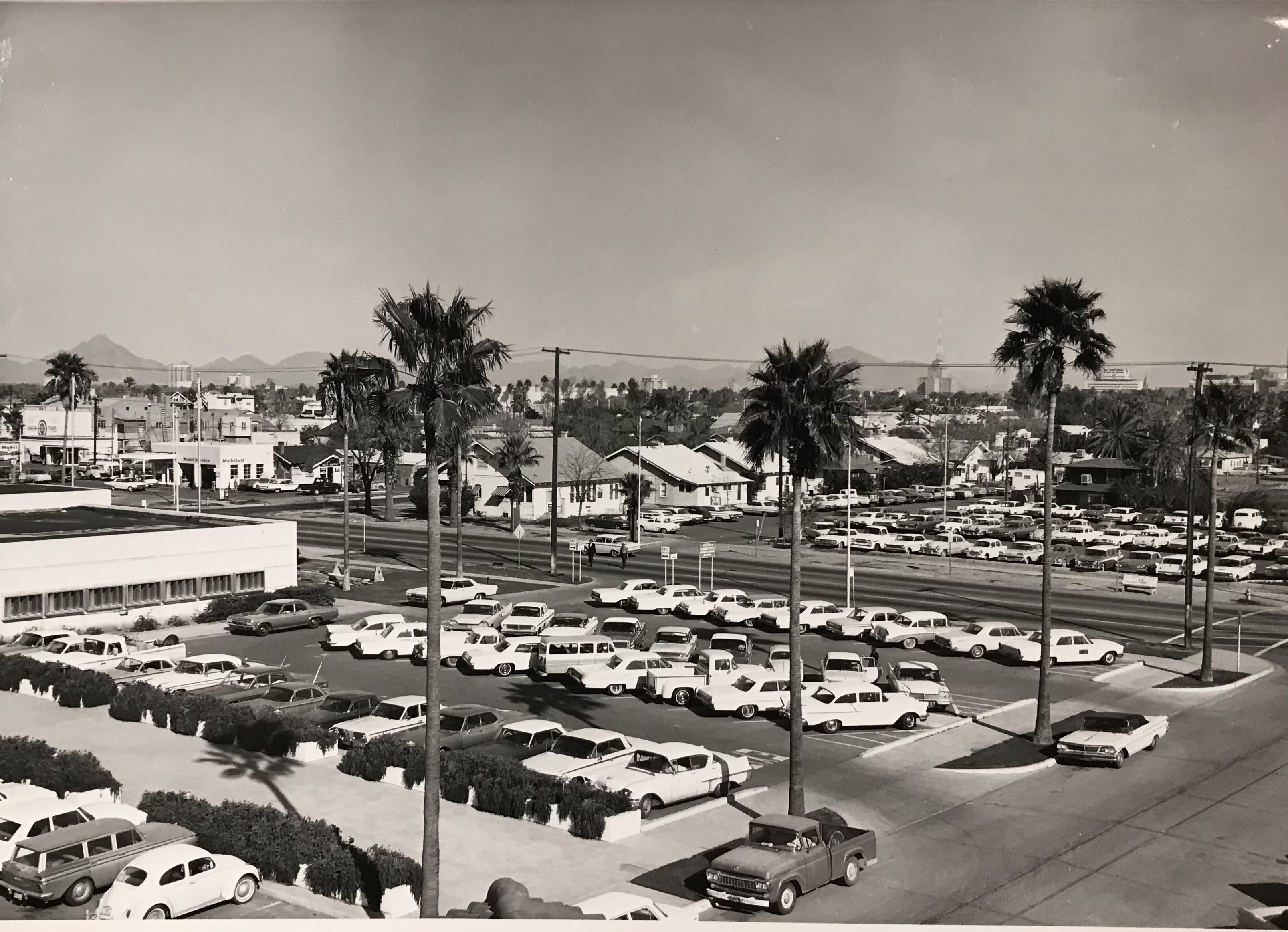
PHOENIX — Governor Doug Ducey and the Arizona Department of Transportation are safely easing the process for obtaining a Commercial Driver License in an effort to alleviate stress on the transportation system and help address the nationwide supply chain crisis.
The Governor’s Office and Arizona Department of Transportation (ADOT) also are reopening two long-closed rest stops so commercial drivers have additional opportunities to rest.
"We are working to make sure commercial drivers and Arizona families have the support they need this holiday season," said Governor Ducey. "Prices are rising and commercial drivers are under an incredible amount of stress as they transport goods. Today's action will help alleviate this stress. My thanks to the Arizona Department of Transportation for streamlining requirements for commercial drivers and strengthening Arizona’s supply chain.”
“Arizona’s highways are critical for our economy, and the trucking industry is one of the key transportation modes for moving goods through our state and around the country,” said ADOT Director John Halikowski. “We are pleased to take these steps to make processes easier, while enhancing safety for commercial drivers at this important time of the year.”
Removing Regulatory Burdens
To facilitate more commercial drivers being able to obtain credentials, through Executive Order, the Governor will extend the validity of the commercial learners’ permit (CLP) from six months to one year, in alignment with federal law. This gives a student more time to fulfill training requirements without having to reapply for a new permit. The purpose of the CLP is to allow a student to operate a commercial motor vehicle for training purposes with a licensed driver present.
The Executive Order, in alignment with the current federal waiver, will temporarily allow a commercial driver to keep their CDL past the date that the person’s medical certification is required, until Feb. 28, 2022. CDLs are regulated by the federal government. The Federal Motor Carrier Safety Administration (FMCSA) previously initiated a series of waivers, including one that allows a driver to keep their CDL active temporarily after the expiration of a medical certificate. Arizona will adopt this practice temporarily, until Feb. 28, 2022, to keep current CDL holders on the road and alleviate supply chain challenges. CDL holders can upload documents online, as well as verify the status of their Arizona medical certificate, at azmvdnow.gov.
Using recent guidance provided by FMCSA, ADOT will move forward with rulemaking to open commercial driver license services to Authorized Third Party providers. During the 2021 legislative session, HB 2134 was signed into law, allowing ADOT to expand commercial driver license services to its Authorized Third Party providers. As CDLs are regulated primarily by the federal government, ADOT requested and received guidance from FMCSA to determine which actions would be permitted under federal law. Once fully implemented, individuals will have expanded options to receive CDL services from Authorized Third Party providers, providing an increase in convenience and accessibility to obtain a license.
Accessibility To Rest Stops
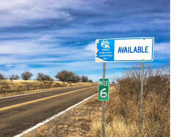
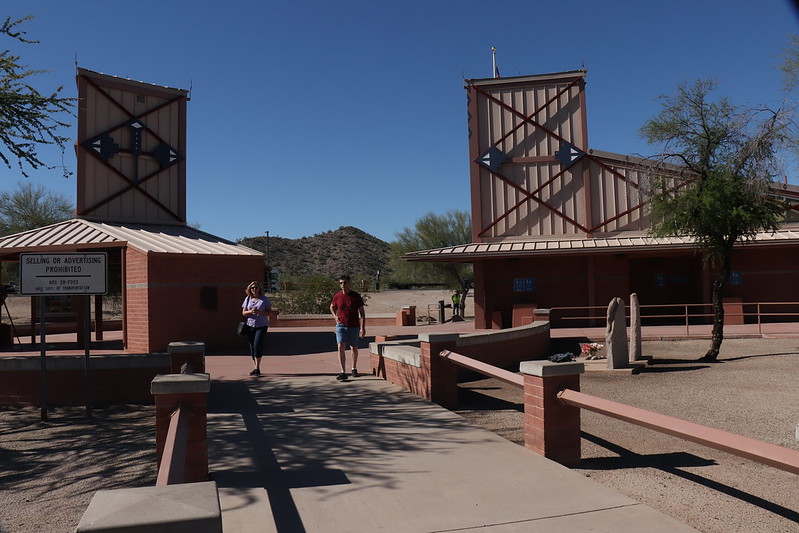
Last week, the Governor directed ADOT to reopen two previously closed rest areas at Parks (I-40) and Christiansen (I-17). Both are now open to serve the public, providing additional opportunities for drivers to park and rest, and further alleviating stress on the supply chain. This is a temporary measure; these rest areas will be open through Jan. 18, 2022 to provide relief for critical deliveries during the holiday season.
Going Forward Together
Arizona will launch the Arizona Transportation Consultancy Project, which will strengthen and further enable ADOT to collaborate with other states and adopt similar improvements that Arizona has implemented. Jumpstarting the supply chain is a cross-jurisdictional issue that requires the improvement of processes across multiple states.
Arizona has undertaken many successful initiatives to make obtaining a CDL and the necessary permits simpler and more accessible to drivers, including the expansion of online services. Currently, ADOT is upgrading the Medical Examiner Certificate (MEC) submission process to allow handwritten MECs to be processed digitally, using advanced technology; expanding CDL services to Authorized Third Party providers; and preparing to modernize its commercial vehicle permitting system.
While these efforts have produced excellent results for Arizona, improvements can’t be confined to Arizona to solve our nation’s supply chain issues. The Arizona Consultancy Project will help other states achieve similar improvements. By sharing best practices and ideas found in the Arizona Management System, providing technical assistance on implementation of programs and sharing state-created intellectual property, processes can be improved across the country.
View the Governor's Executive Order HERE.