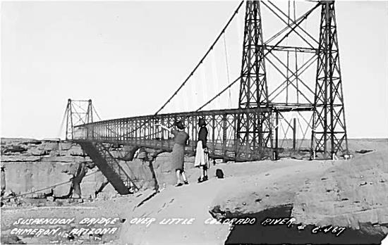
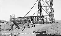
The adventure ahead, documented in a 1940s postcard
The adventure ahead, documented in a 1940s postcard
The adventure ahead, documented in a 1940s postcard
The adventure ahead, documented in a 1940s postcard
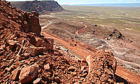
Little Colorado River
By Timothy Tait / ADOT Communications
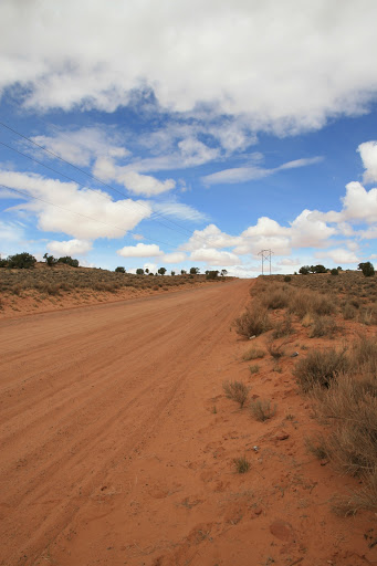
The two women look out over the Little Colorado River, pointing into the distance, northward, at destinations yet to come on their journey of northern Arizona. They are standing next to the now iconic US 89 bridge at Cameron, its modern suspension design contrasted against the smooth cliffs, hiding the river below.
While the postcard wasn’t mailed, in neat cursive on the back, the traveler wrote of her adventure:
“Just across the street from where we ate, at Cameron, Ariz.”
The scene is documented on a picture postcard, perhaps from the 1940s, that came to me from a relative who hunts for antiques – in Michigan. Who the women are remains a mystery, their destination and journey concealed by time. How did a postcard of two women from the ‘40s documenting their visit to Arizona end up in Michigan before returning back to Arizona? Who snapped the photo? We’ll probably never know of their adventure or the path this postcard took before landing at ADOT. But it’s fun to wonder.
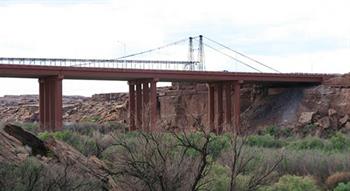
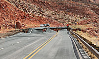
Bridge over Little Colorado River
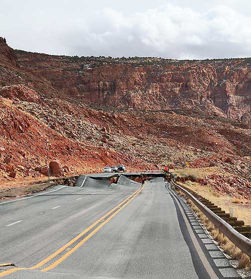
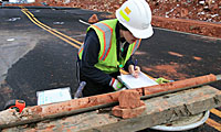
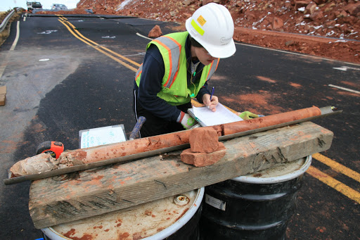
Here’s what we do know: That iconic bridge, constructed in 1911, still stands today, carrying not traffic but utility lines over the Little Colorado River. While its usefulness as a traffic bridge has long ended, it continues serving Arizona faithfully. ADOT recently completed a new, wider bridge over the Little Colorado River, replacing a 1958 bridge that was built to accommodate construction traffic for the Glen Canyon Dam.
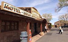
Historic Cameron Trading Post
Travelers today are still stopping at the historic Cameron Trading Post for a bite to eat and souvenirs before continuing their journey. And that new bridge at Cameron will serve traffic for decades to come, shuttling travelers across the gorge protecting the Little Colorado River on their way to … adventure.