Drivers should plan for delays through work zone
The Arizona Department of Transportation advises drivers to plan for daytime lane restrictions on US 60 between Show Low and Springerville Thursday, July 9, through Friday, July 10, and Monday, July 13, through Tuesday, July 14.
Drivers should expect delays while the following restrictions are in place from 6 a.m. to 5 p.m.:
-
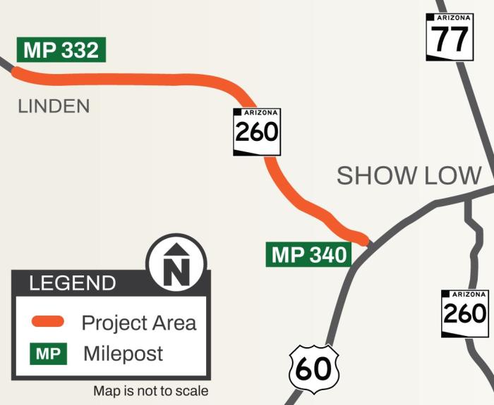
US 60 will be reduced to one lane only with alternating east- and westbound travel in 3-mile segments between State Route 61 and Wildcat Creek (mileposts 353-369).
-
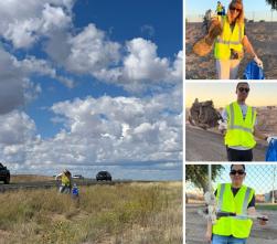
Drivers will be directed through the work zone by flaggers and a pilot car.
-
A 12-foot vehicle-width restriction will be in place.
-
The speed limit will be reduced in the work zone.
-
Drivers need to be prepared to make frequent stops when approaching and driving through the work zone and use caution around construction personnel and equipment while the restrictions are in place.
-
Restrictions will be lifted each day after work hours.
The restrictions are needed for crews to install rumble strips along the highway. Crews will return in late July to permanently stripe US 60 through the project area.
The project is anticipated to be completed by the end of the month.