Interstate 17

I-17 pavement improvement project starts again south of Flagstaff

I-17 pavement improvement project starts again south of Flagstaff

I-17 101 traffic interchange

I-17 pavement improvement project starts again south of Flagstaff

I-17 pavement improvement project starts again south of Flagstaff

April 24, 2023

Lane restrictions needed as work resumes following winter shutdown

FLAGSTAFF – After a break due to the winter weather season, a project to repave and make other improvements along southbound Interstate 17 south of Flagstaff has resumed with lane restrictions starting today (Monday, April 24).

Drivers should expect lane restrictions in several areas while the pavement improvement work is underway over the next several months, according to the Arizona Department of Transportation.

Southbound I-17 is currently narrowed to one lane around the clock in several locations between Flagstaff and the Munds Park area during the current stage of repaving.

ADOT recommends drivers allow extra travel time, especially during peak travel times. Motorists also should obey reduced speed limits and stay alert for workers and equipment in all work zones.

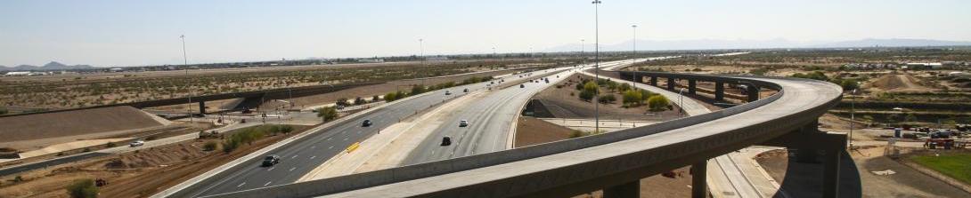
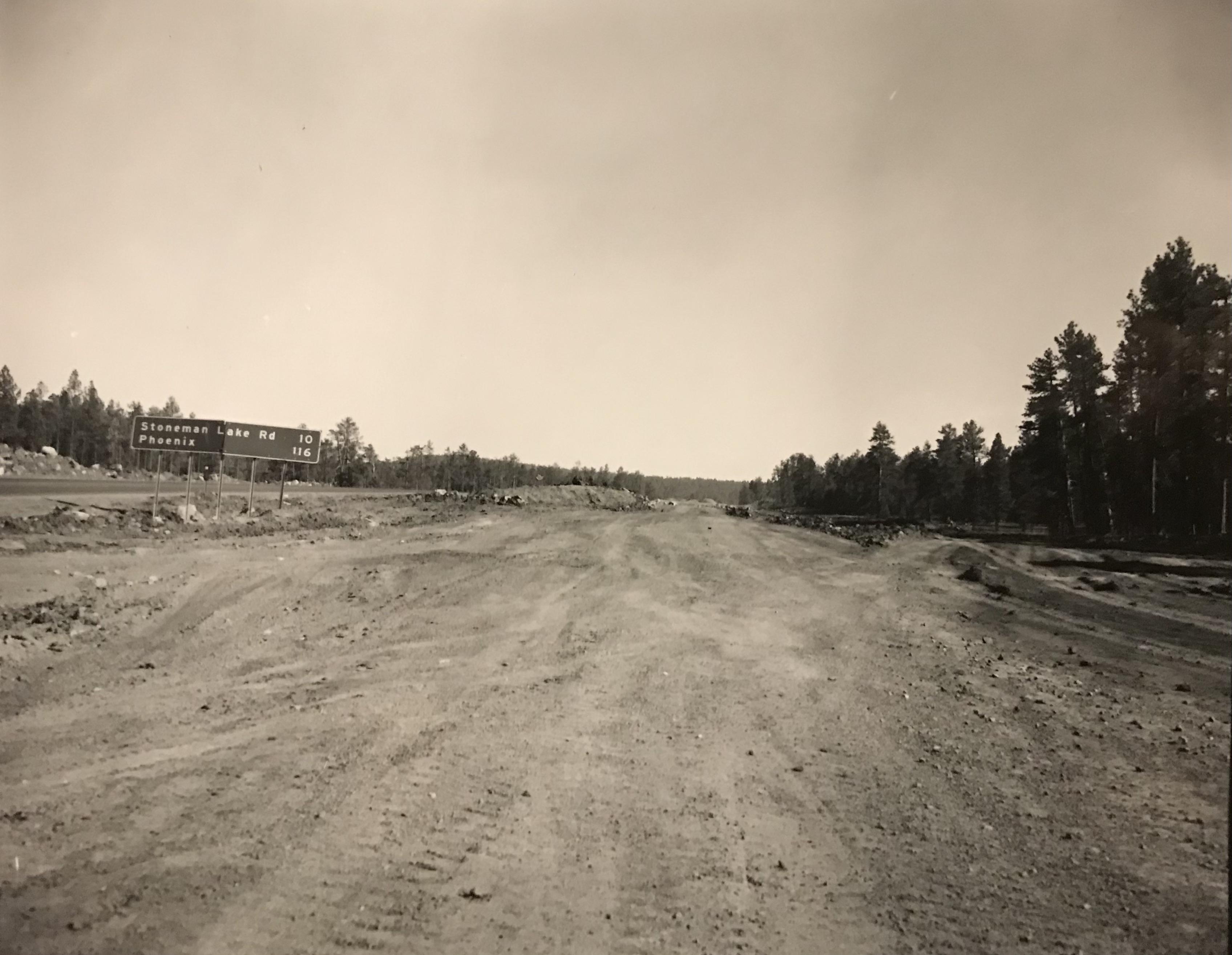
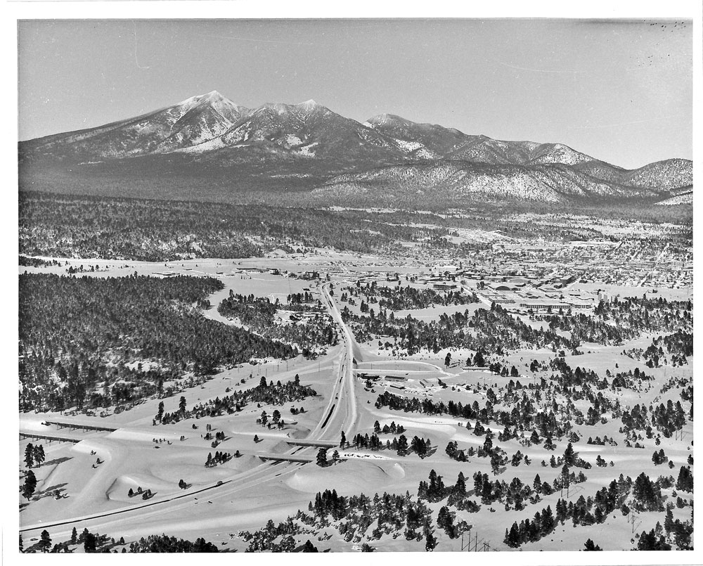
In all, the $35 million project, which started last year, will repave 29 miles of southbound I-17 between Flagstaff and the Coconino/Yavapai county line. The project also includes bridge repairs and improvements along shoulders and interchange ramps. Work is scheduled for completion by fall 2023.

Real-time highway conditions are available on ADOT’s Arizona Traveler Information site at az511.gov. ADOT also provides highway condition updates via its Twitter feed, @ArizonaDOT.

Elk fence reduced crashes, great example of collaboration

Elk fence reduced crashes, great example of collaboration

SR24-1

Elk fence reduced crashes, great example of collaboration

Elk fence reduced crashes, great example of collaboration

By Kathy Cline / ADOT Communications
November 7, 2022

ADOT works with many state agencies for many reasons. One collaboration with the Arizona Game & Fish Department significantly reduced elk-vehicle crashes on northbound I-17 south of Flagstaff.

In 2011, AZGFD noted a stretch of I-17 near Munds Park was seeing a high number of elk-vehicle crashes.  Because a full-grown bull elk can weigh upwards of 700 pounds, crashing into something that large can destroy a vehicle and cause serious injury or death to vehicle occupants, as well as the animal. 

In 2012, after some study, AZGFD and ADOT installed ungulate – “ungulate” means “hoofed mammal” – fencing in four locations near Munds Park on I-17:

  • Munds Canyon Bridge (milepost 322)
  • Schnebly Hill traffic interchange (milepost 320.5)
  • Fox Ranch traffic interchange (milepost 317.9)
  • Woods Canyon Bridge (milepost 317)

In most instances, the existing right-of-way fences were modified with bolts and barbed wire, eliminating the need for completely new fencing and poles. Positive results were seen immediately.

From 2007 to 2010, 20 elk-vehicle crashes were documented within this area. From 2012 to 2014, there was only one.

This success is one example of Arizona showing leadership in wildlife connectivity issues through partnerships among multiple agencies. ADOT and AZGFD have also collaborated to construct wildlife underpasses and elk crossings along State Route 260 east of Payson and desert bighorn sheep overpasses near historic Hoover Dam on US 93

Throwback Thursday: I-17 in 1970

Throwback Thursday: I-17 in 1970

SR24-1

Throwback Thursday: I-17 in 1970

Throwback Thursday: I-17 in 1970

By John LaBarbera / ADOT Communications
June 2, 2022

This Thursday, we’re throwing back more than a half century with this entry from 1970.

In the foreground, we see Interstate 17, which, two years earlier, was officially dedicated as Maricopa Freeway from 16th Street to the Durango Curve, and as Black Canyon Freeway north to Carefree Highway.

Cars can be seen zooming across the highway, crossing over Central Avenue. The overpass, Central Avenue Bridge, underwent a modernizing reconstruction project last year. 

Central Avenue is seen in this photo transporting motorists to and from downtown Phoenix and beyond, just as it ends at the cusp of the North Mountain Preserve in Sunnyslope.

This snapshot from 1970 does not look all that different from today. Though I-17 may be wider, downtown may have a few more skyscrapers, and we generally shoot photos in color, though film is definitely a thing of the past. 

Throwback Thursday: Future I-17

Throwback Thursday: Future I-17

SR24-1

Throwback Thursday: Future I-17

Throwback Thursday: Future I-17

By John LaBarbera / ADOT Communications
May 19, 2022

Today we throwback to 1974. In July of that year, The Arizona Highway Department officially became the Arizona Department of Transportation we know today. Work was also underway to bring what would become Interstate 17 up to federal interstate standards.

Here we see a photo of the future I-17, looking south near Fox Ranch Road just south of Munds Park. The Ponderosa pines are towering over a dirt road that will soon be paved for direct travel from Phoenix to Flagstaff. At this point, crews were working to convert the highway from one lane in each direction to two. That would be completed in 1976. From Phoenix to Flagstaff, the entire lenth of I-17 opened in 1978.

Interstate 17 is situated on two older alignments of recognizable Arizona highways. From Flagstaff south to Camp Verde, I-17 aligns with a former section of State Route 79. And from Cordes Junction down to Phoenix, I-17 runs along a previous segment of State Route 69. That’s also where the Interstate inherited its milepost numbers.

This blog post has more about the history of I-17.

Throwback Thursday: A snow-saturated Flagstaff

Throwback Thursday: A snow-saturated Flagstaff

SR24-1

Throwback Thursday: A snow-saturated Flagstaff

Throwback Thursday: A snow-saturated Flagstaff

By John LaBarbera / ADOT Communications
July 15, 2021

Today, in the midst of triple-digit temperatures throughout the state, we throwback to a frosty winter’s scene in 1967 Flagstaff, showing what is today Interstate 17 meeting Interstate 40. 

Of course, at the time, the road that would become I-17 was still known as State Route 79. It officially upgraded to interstate status in 1971. And I-40 would not be formally christened in Flagstaff until 1968, a year after this photo was snapped. The entire stretch across the state would be completed in 1984.

Immediately, our eyes are drawn to the snow-capped San Francisco Peaks, rising majestically over the City of Seven Wonders to a maximal apex of more than 12,600 feet.

And just below the peak, on the right side of the frame, we see the streets of downtown Flagstaff to the north, and an evergreen-shrouded Northern Arizona University immediately to its south. Not pictured: The Walkup Skydome, which wouldn’t break ground for another eight years, opening in 1977.

Nestled in the hills just west of downtown, is Lowell Observatory. At the time this photo was captured, Lowell was playing an integral role in the Apollo moon landing mission. The once-but-sadly-no-longer-a-planet Pluto was discovered there in 1930. Lowell Observatory sits atop Mars Hill… perhaps a glimpse into future discoveries.

Today, there are fewer trees and more shopping centers in the area immediately surrounding Milton Road, the street I-17 becomes after crossing I-40. But there are still plenty of ponderosa pines that peek down on visitors.

Currently, we have two ongoing I-40 projects in the Flagstaff area, and even more the further away we go. Meanwhile, I-17 has a slew of projects on deck in our Tentative Five-Year Construction Program.

So, while it continues to heat up in the Copper State this summer, we can lose ourselves in this refreshing glimpse of a time much cooler.

Throwback Thursday: No matter the year, Sunset Point delights

Throwback Thursday: No matter the year, Sunset Point delights

SR24-1

Throwback Thursday: No matter the year, Sunset Point delights

Throwback Thursday: No matter the year, Sunset Point delights

By John LaBarbera / ADOT Communications
March 11, 2021

Today’s Throwback Thursday entry goes back to 1971. Flip Wilson is on your TV, the price of peanut butter is 59 cents, and Sunset Point is looking mighty inviting.

Yes, here’s a look at Interstate 17’s favorite rest area one half century ago. We can spot a Volkswagen Bus, a pickup with a pretty impressive camper shell, and perhaps a Buick Skylark towing one of those fancy silver Airstream trailers.

Fifty years later, Sunset Point remains a popular pit stop for folks traveling up and down I-17. Except now there are a few more vending machines and a lot more parking. Those baby trees in the foreground are undoubtedly nearly grown now, too.

Not much beats the breathtaking views Sunset Point offers. Especially around dusk, when you can take in a little thing called…the sunset.

The highway will definitely look different in the next few years. Interstate 17 is about to embark on an ambitious widening project beginning in 2022, bringing one additional lane in each direction and two flex lanes to the stretch between Anthem and Sunset Point by late 2025.