Central

Loop 202 (South Mountain Freeway)

Loop 202 (South Mountain Freeway)

Loop 202 (South Mountain Freeway)

Loop 202 (South Mountain Freeway)

Welcome to the South Mountain Freeway information site!

The Loop 202 (South Mountain Freeway) adds 22 miles of freeway to the existing Phoenix metropolitan transportation system. The freeway connects the east and west valley while providing much needed relief to existing freeway corridors and local streets.

Here you will find everything you need to know about the project – whether you are interested in project history, the new shared-use pathmedia, or simply receiving construction updates to stay in the loop.

Sign up for traffic alerts!


Freeway Art

Traffic Alerts

Project Photos

New: Loop 202 South Mountain Freeway aerial tour


South Mountain Freeway Line Map 2019


Loop 202 (Santan Freeway), Loop 101 to Val Vista Drive

Loop 202 (Santan Freeway), Loop 101 to Val Vista Drive

Loop 202 (Santan Freeway), Loop 101 to Val Vista Drive

Loop 202 (Santan Freeway), Loop 101 to Val Vista Drive

Overview

The Arizona Department of Transportation in collaboration with the Maricopa Association of Governments (MAG) has initiated a project to widen and make other improvements to the Loop 202 (Santan Freeway) between Loop 101 (Price Freeway) and Val Vista Drive in the city of Chandler and town of Gilbert.

The purpose of this project is to improve traffic capacity on Loop 202 to address growing traffic demands in the southeast Valley and relieve traffic congestion on Loop 202 during the morning and evening peak travel periods. Maricopa County is one of the fastest growing regions in the United States, with the population expected to increase by nearly 30 percent between 2020 and 2040. Traffic volume projections indicate congestion will worsen in the future due to growth in the region.

Project Elements

  • Adding two general purpose lanes in each direction on Loop 202 from Loop 101 to Gilbert Road
  • Adding one general purpose lane in each direction from Gilbert Road to Val Vista Drive
  • Widening exit ramps from one to two lanes 
  • Adding noise walls in some locations
  • Widening overpass bridges 
  • Reconstructing the eastbound Arizona Avenue on-ramp and bridge
  • Removing the existing asphalt pavement surface to improve existing pavement conditions and the driving surface for vehicles

Project Area

Project Area Map

Timeline

  • The project began construction in August 2024 and will take approximately two and half years to complete.  

Project Documents

Project Fact Sheet

Final Design Concept Report

Final Noise Report

Traffic Noise Fact sheet

Public Meeting

Virtual Public Meeting Information

ADOT held a virtual public meeting on June 8, 2022.

Links to the presentation and recordings of the meeting are available here in English and Spanish.

Meeting Summary

Meeting Slides - English Script

Meeting Slides - Spanish Script

English Presentation Video

Spanish Presentation Video


Stay Up to Date

...

Subscribe to receive project updates by email.

ADOT welcomes your questions and comments. Please contact us in any of these ways:

  • Phone: ADOT Project Information Line: 855.712.8530
  • Email: [email protected]
  • Mail: ADOT Communications, 1655 W. Jackson St., MD 126F, Phoenix, AZ 85007

Loop 101 (Pima Freeway), Princess Drive/Pima Road to Shea Boulevard Improvements

Loop 101 (Pima Freeway), Princess Drive/Pima Road to Shea Boulevard Improvements

Loop 101 (Pima Freeway), Princess Drive/Pima Road to Shea Boulevard Improvements

Loop 101 (Pima Freeway), Princess Drive/Pima Road to Shea Boulevard Improvements

Overview

The Arizona Department of Transportation, in partnership with the city of Scottsdale, will be widening Loop 101 (Pima Freeway) between Princess Dr/Pima Rd and Shea Blvd by one general-purpose lane in each direction and modifying existing interchanges to improve traffic flow on Loop 101 and the cross streets.

Fact Sheet (English)

Project Elements

  • Widen Loop 101 between Princess Dr/Pima Rd and Shea Blvd by one general-purpose lane in each direction
  • Add a third southbound left turn lane at Princess Dr/Pima Rd interchange
  • Convert Frank Lloyd Wright Blvd interchange to a diamond configuration
  • Add right turn lanes at Raintree Dr and Shea Blvd
  • Update sidewalks to make them ADA compliant
  • Upgrade freeway and ramp lighting
project map
Project area map: (click to enlarge)


What to Expect

  • Construction began in January 2024 and will take approximately two years to complete.

  • Work will require lane restrictions and full closures on Loop 101, the interchange ramps and cross streets, and will occur primarily during overnight hours and weekends to minimize traffic impacts. Access to businesses and residences will be maintained.

  • Long-term on- and off-ramp closures will be required (up to 60 days).

  • ADOT will provide advance notice of restrictions and closures to email subscribers and on the project web page.


Previous Milestones


Stay Informed

..

Please Subscribe to receive project updates and traffic alerts.

  • Phone: ADOT Project Information Line: 855.712.8530
  • Email: [email protected]  
  • Mail: ADOT Communications, 1655 W. Jackson St., MD 126F, Phoenix, AZ 85007

Project Photos

January 2024

Milling of northbound Loop 101 near Princess Drive/Pima Road View 1 Milling of northbound Loop 101 near Princess Drive/Pima Road View 2 Milling of northbound Loop 101 near Princess Drive/Pima Road View 3 Milling of northbound Loop 101 near Princess Drive/Pima Road View 4

Milling of northbound Loop 101 near Princess Drive/Pima Road

June 2024

Workers construction permanent concrete barrier Workers construction a section of concrete barrier Mason working on a concrete barrier segment Masons constructing a section of new concrete barrier New concrete pavement for addition of northbound general purpose lane on Loop 101 New concrete pavement Reinforcing steel rebar for concrete barrier New footings for concrete barrier on Loop 101 Mason working on a section of new concrete pavement on Loop 101 Newly paved concrete pavement on Loop 101 Mason working on a section of new concrete pavement Concrete footing and rebar for concrete barrier
Paving and concrete barrier construction on northbound Loop 101

Loop 101 (Agua Fria Freeway), 75th Avenue to I-17 Improvements

Loop 101 (Agua Fria Freeway), 75th Avenue to I-17 Improvements

Loop 101 (Agua Fria Freeway), 75th Avenue to I-17 Improvements

Loop 101 (Agua Fria Freeway), 75th Avenue to I-17 Improvements

Overview

The project is widening Loop 101 between 75th Avenue and I-17 by one general-purpose lane in each direction to improve traffic flow on Loop 101 and the cross streets. Other improvements include widening bridges, modifying interchange ramps and frontage roads in some locations, adding a third southbound left turn lane onto Loop 101 at 75th Avenue, improving the system interchange ramp between westbound Loop 101 and northbound I-17 and resurfacing the roadway.

This project is included in the Regional Transportation Plan for Maricopa County and is funded through Prop 400, a countywide dedicated half-cent sales tax for transportation improvements approved by voters in 2004.

project map

Fact Sheets

Project Elements

  • Adding one general purpose lane to the outside of Loop 101 in each direction between 75th Avenue and I-17.
  • Widening bridges at 51st, 35th and 31st avenues and constructing new retaining walls.
  • Modifying interchange ramps and frontage roads in some locations.
  • Interchange improvements at 75th Avenue to add a third southbound left turn lane onto eastbound Loop 101. 
  • Adding or modifying noise walls in some locations where warranted.
  • Removing the worn asphalt and resurfacing the concrete pavement by diamond grinding.
  • Upgrading freeway and ramp lighting.
  • Modifying the existing freeway drainage system.
  • Replacing impacted landscaping.

What to Expect

  • Construction is expected to take approximately two-and-a-half years to complete.
  • Work will require lane restrictions and full closures on Loop 101, the interchange ramps and cross streets, and will occur primarily during overnight hours and weekends to minimize traffic impacts.
  • Long-term on- and off-ramp closures will be required (up to 60 days).
  • ADOT will provide advance notice of restrictions and closures to email subscribers and on the project web page.
  • Access to businesses and residences will be maintained.

Schedule

The project began in late September 2024 and is expected to take approximately two-and-a-half years to complete.

Project Photos

Loop 101, 75th Ave. to I-17 Widening Project: November 2024 Loop 101, 75th Ave. to I-17 Widening Project: December 2024


Background and Project Documents

Public Involvement: 

  • The project team presented information and answered questions about the design plans for the Loop 101 widening project at a virtual public meeting held the evening of Thursday, Feb. 24, 2022. A video recording of the meeting and other project information can be found here
  • An earlier public meeting was held in 2021. Information on that meeting can be found here.  

Project Documents:

Public Meeting

The Arizona Department of Transportation, in partnership with the cities of Glendale and Phoenix, and the Maricopa Association of Governments, held an in-person public meeting in September 2024, to provide more information about construction of the upcoming widening project on Loop 101 (Agua Fria Freeway) between 75th Avenue and Interstate 17. 

Questions?

  • Phone: ADOT Project Information Line: 855.712.8530
  • Email: Kimberly Larson at [email protected]

Public Meeting Documents:

Sept. 19 Public Meeting Summary 

Sept. 19 Public Meeting Presentation - English

Sept. 19 Public Meeting Presentation - Spanish

Stay Up to Date

...

Please subscribe to receive project updates by email.

Submit questions and comments or request information in any of the following ways:

  • Phone: ADOT Project Information Line: 855.712.8530
  • Email: [email protected]
  • Mail: ADOT Communications, 1655 W. Jackson St., MD 126F, Phoenix, AZ 85007

Interstate 17: Indian School Road Traffic Interchange Improvement Project

Interstate 17: Indian School Road Traffic Interchange Improvement Project

Interstate 17: Indian School Road Traffic Interchange Improvement Project

Interstate 17: Indian School Road Traffic Interchange Improvement Project

Overview

Proposed 3 level TI

The Arizona Department of Transportation, in association with the Maricopa Association of Governments, and in coordination with the Federal Highway Administration and the city of Phoenix, has completed an environmental study and Design Concept Report (DCR) for a project to improve traffic flow and safety at Interstate 17 and Indian School Road in Phoenix.


Recommended Build Alternative

After evaluating options for interchanges in this location, the final Design Concept Report identifies a three-level diamond interchange as the best solution. This interchange will improve the flow of east- and westbound “through” traffic over I-17 on Indian School Road, reduce crashes and safely accommodate pedestrians. Features include:

  • A flyover bridge along Indian School Road to allow east-west traffic to bypass the intersections at the I-17 ramps and frontage roads
  • New roadways approaching the flyover bridge with embankments and retaining walls
  • A reconstructed and widened Indian School Road to accommodate the flyover bridge and new approaches, and
  • Two new pedestrian bridges – one north and one south of Indian School Road – to allow pedestrians to cross I-17 safely.

View three-dimensional photos on Flickr


Timeline

  • The project is currently on hold


Stay Informed

...

Subscribe to receive project updates by email.

ADOT welcomes your questions and comments. Please contact us in any of these ways:

  • Phone: ADOT bilingual project information line at 855.712.8530.
  • Email: [email protected]
  • Mail: ADOT Communications, 1655 W. Jackson St., MD 126F, Phoenix, AZ 85007


...

Traffic Alerts

No work is scheduled at this time.

Subscribe to receive traffic alerts and project updates by email.


Diamond Grinding Pavement Treatment

Diamond Grinding Pavement Treatment

Diamond Grinding Pavement Treatment

Diamond Grinding Pavement Treatment

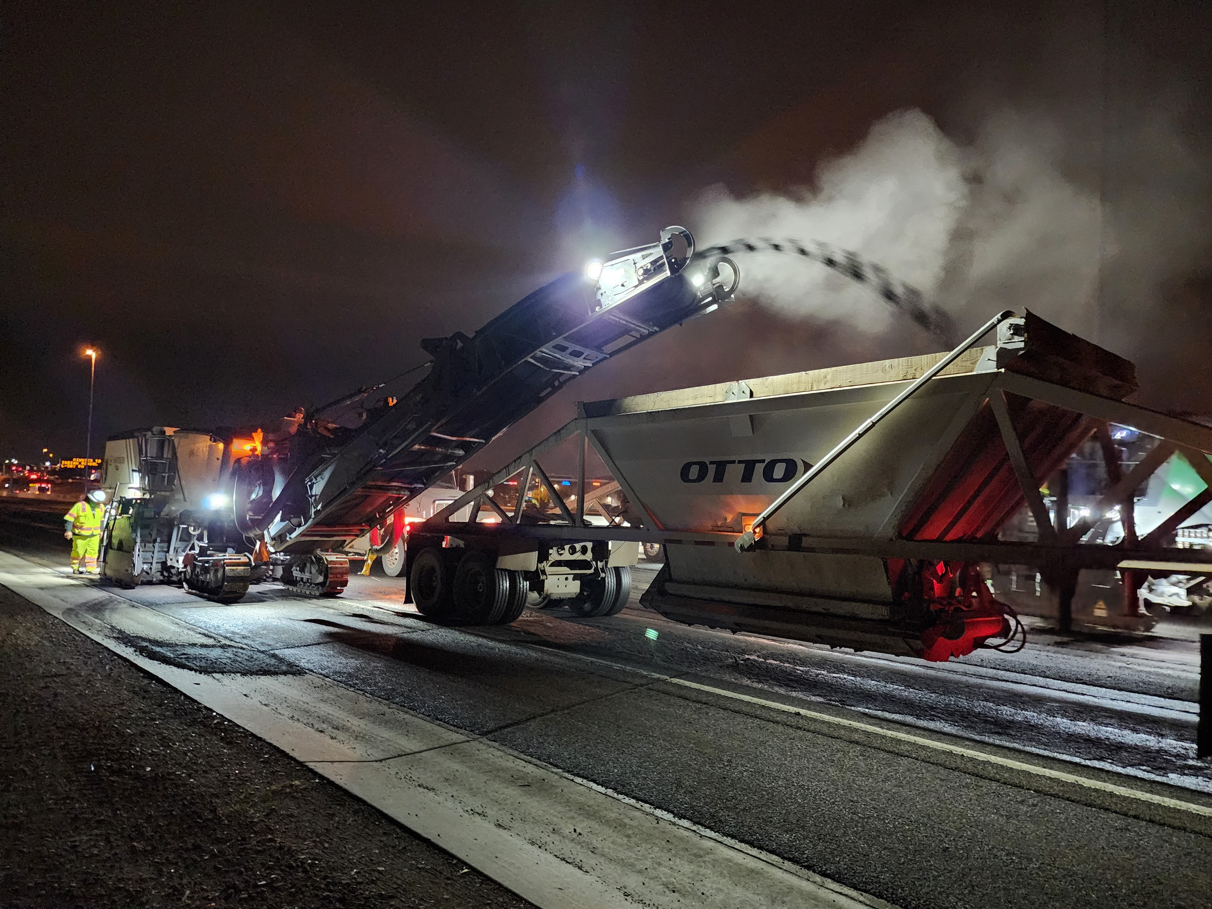
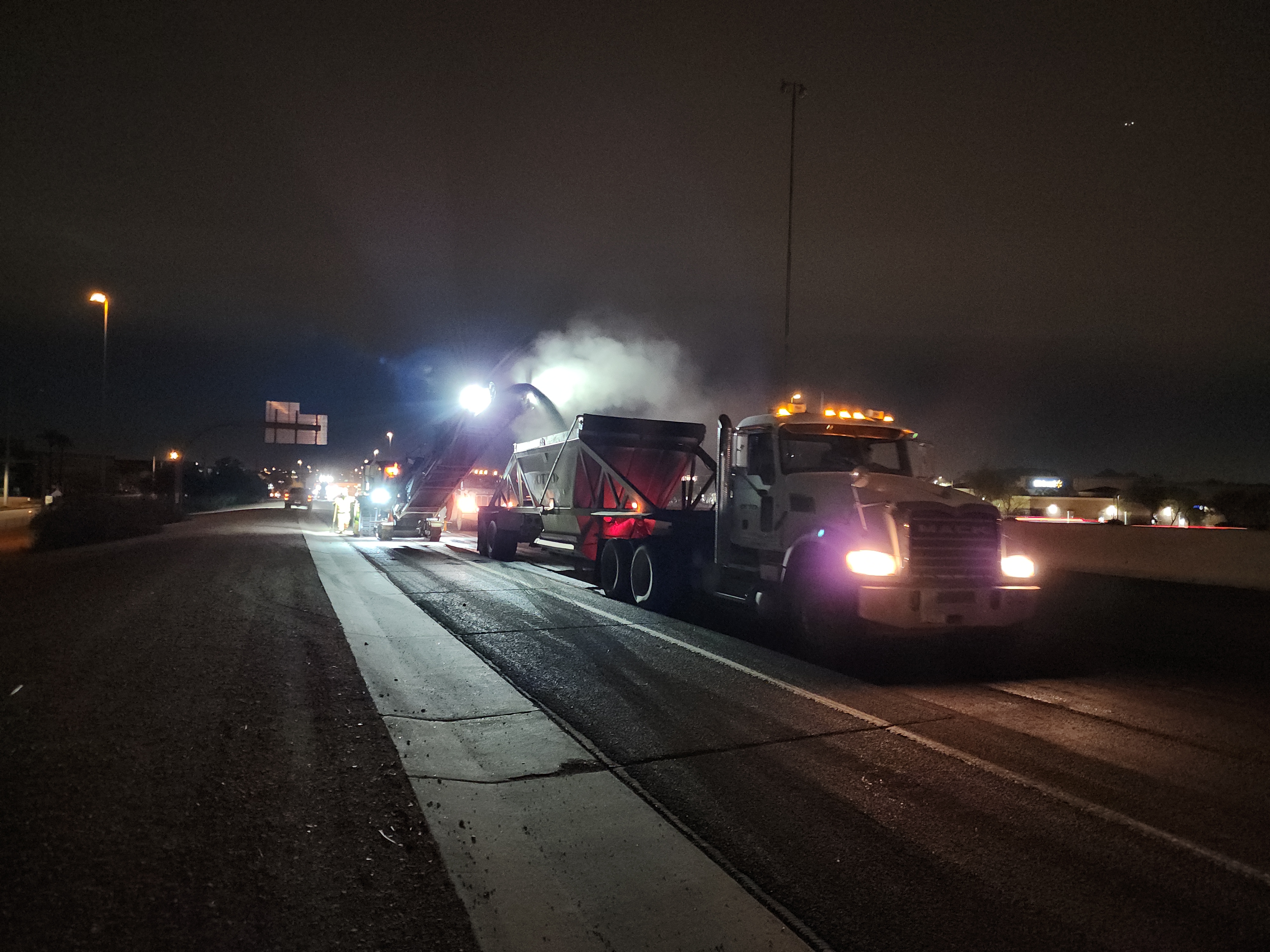
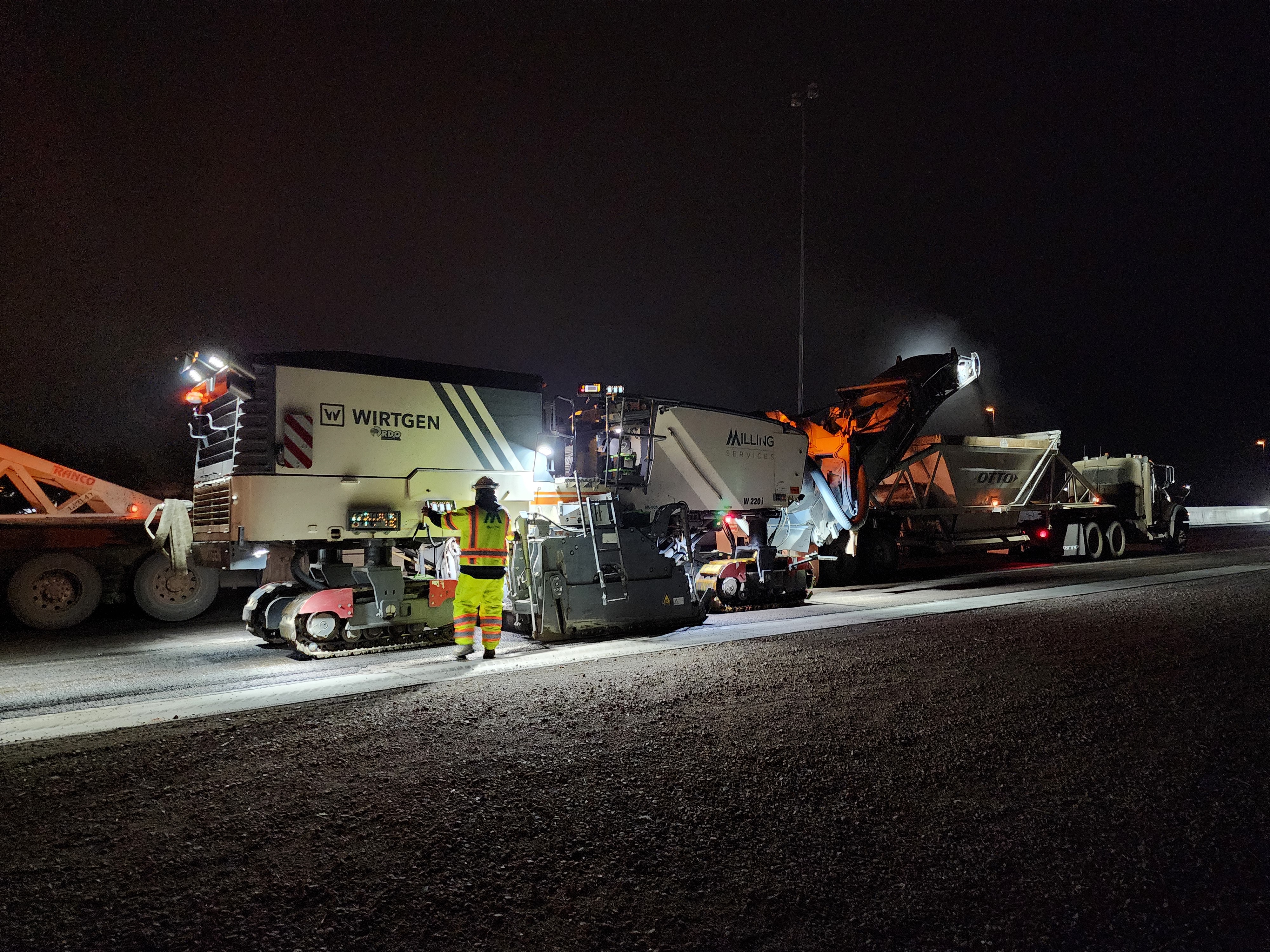
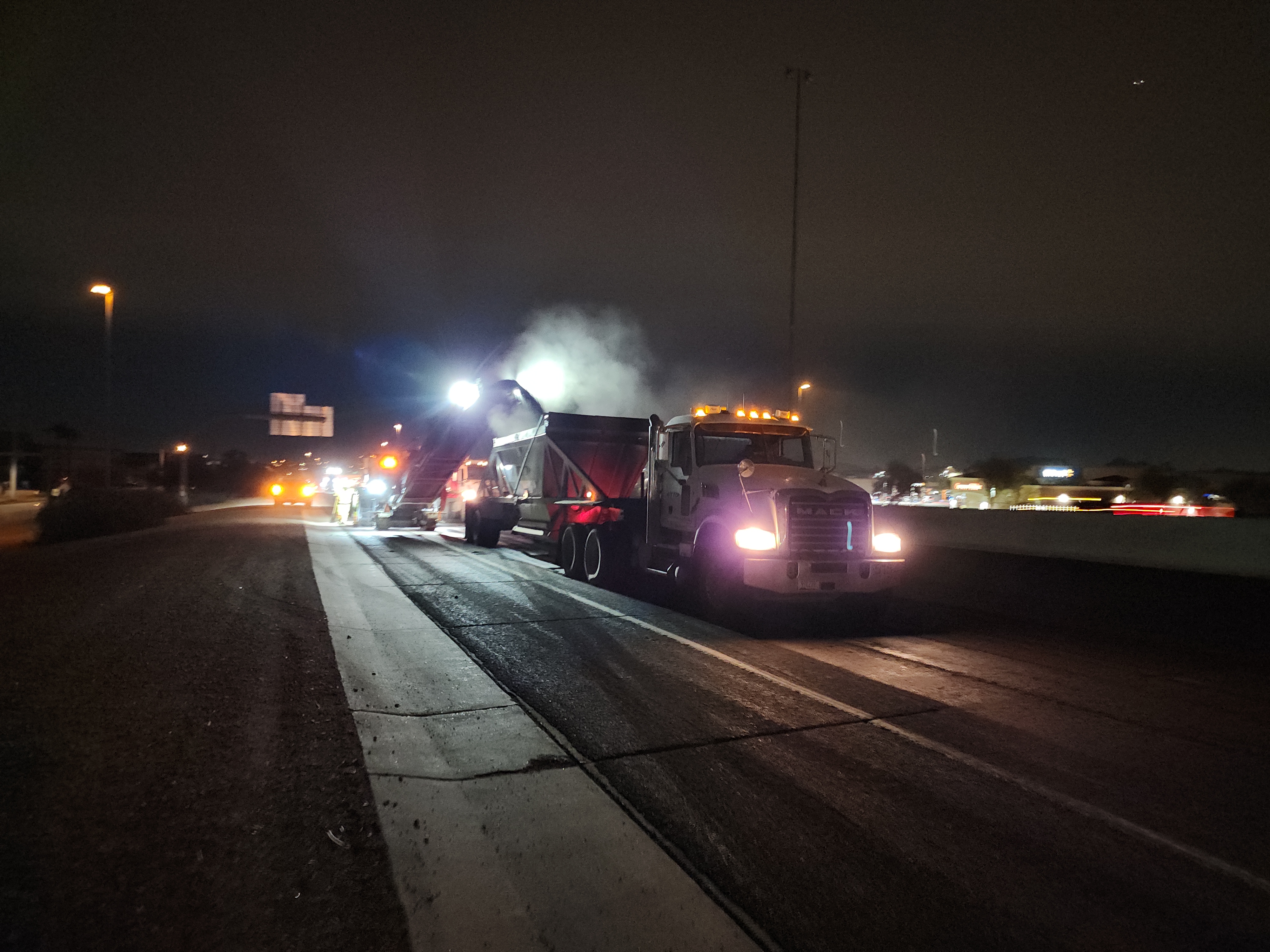
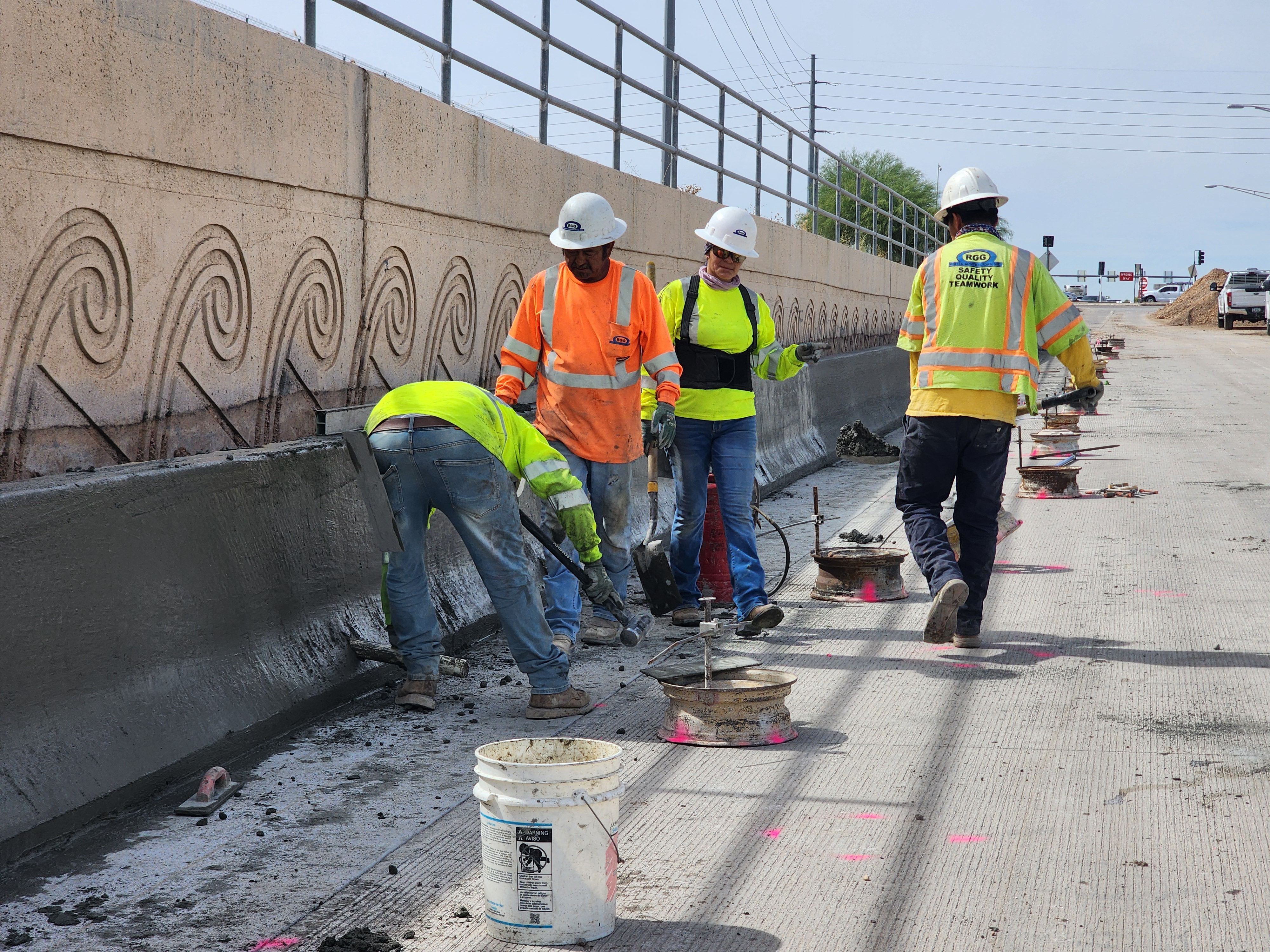
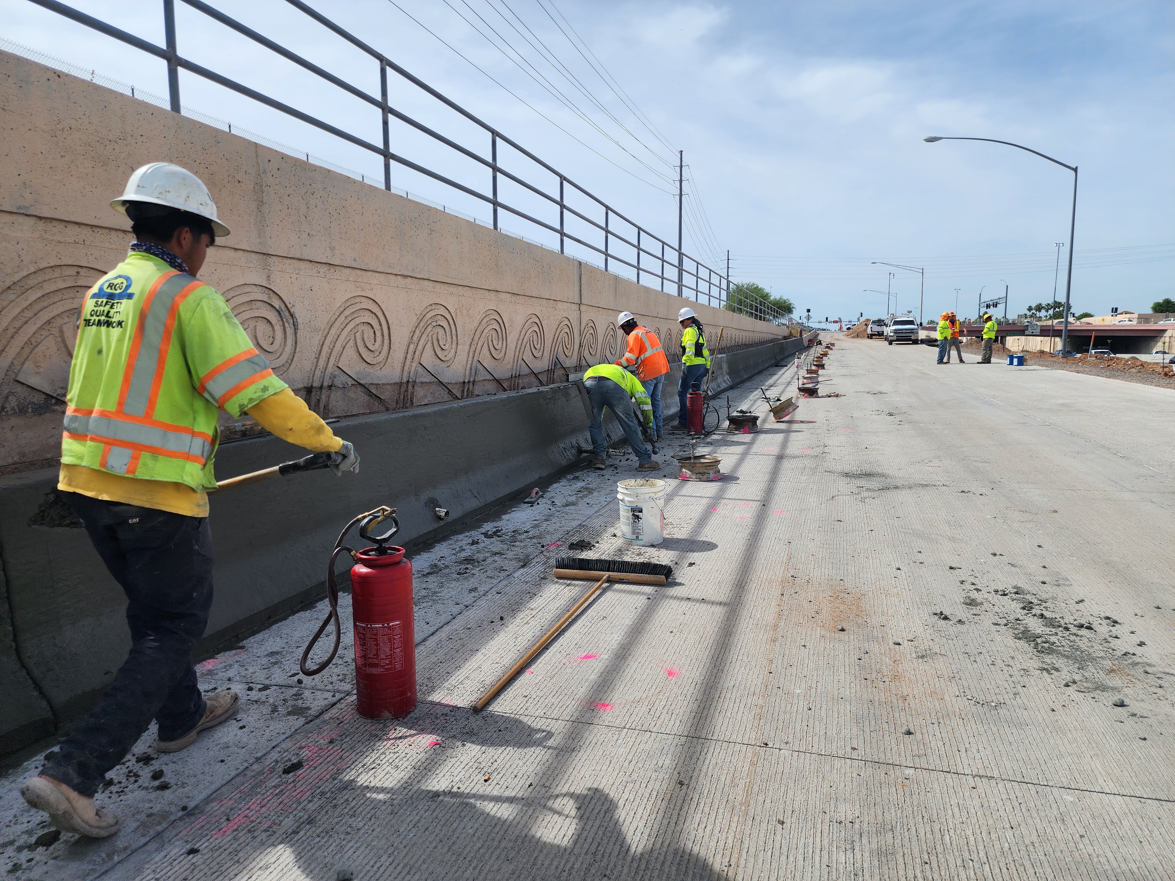
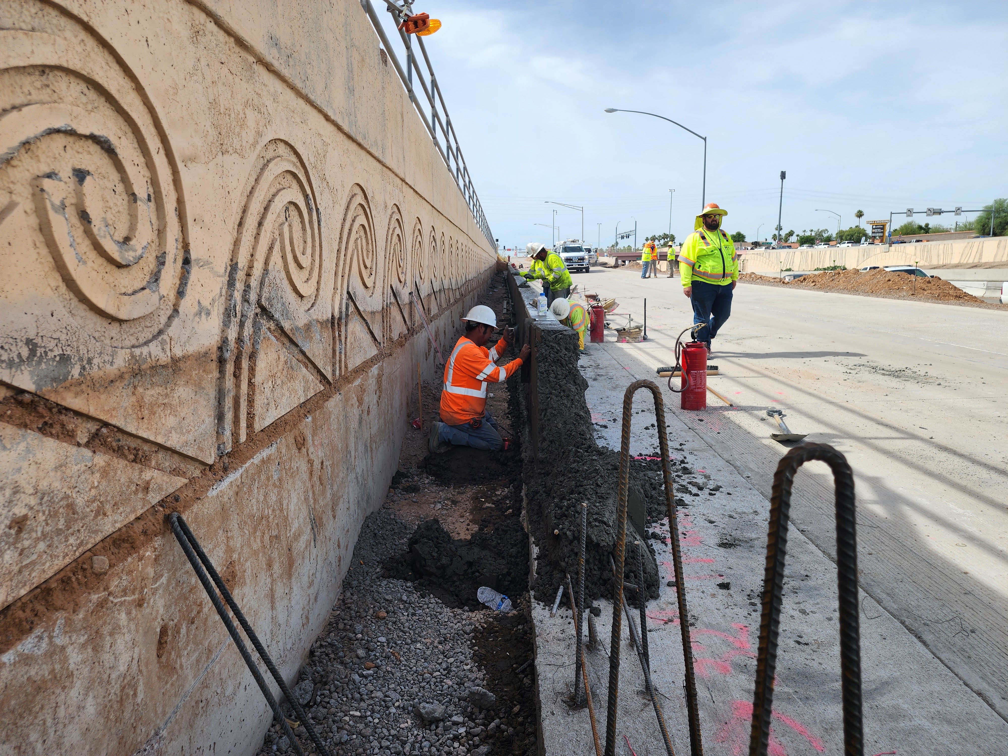
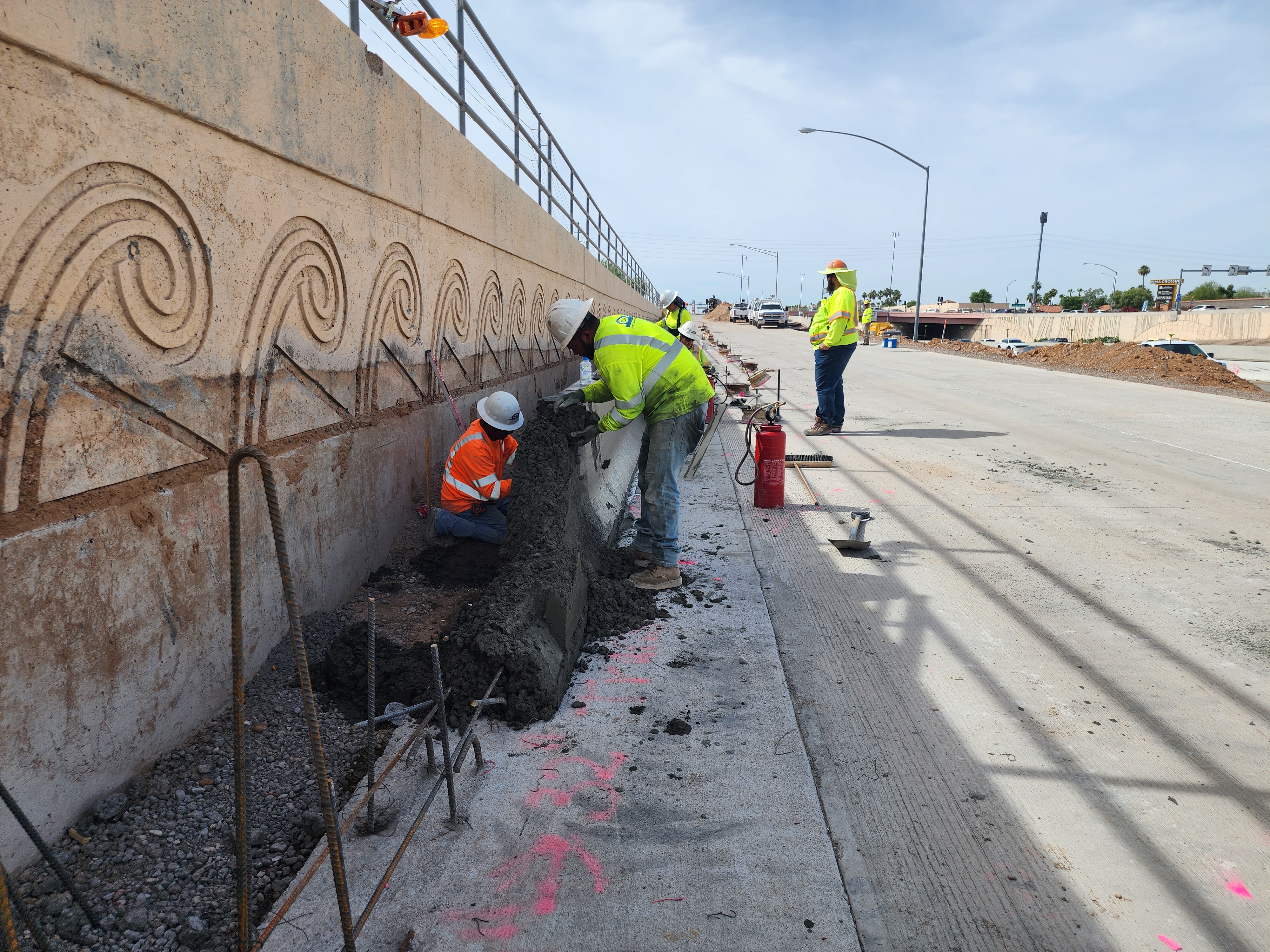
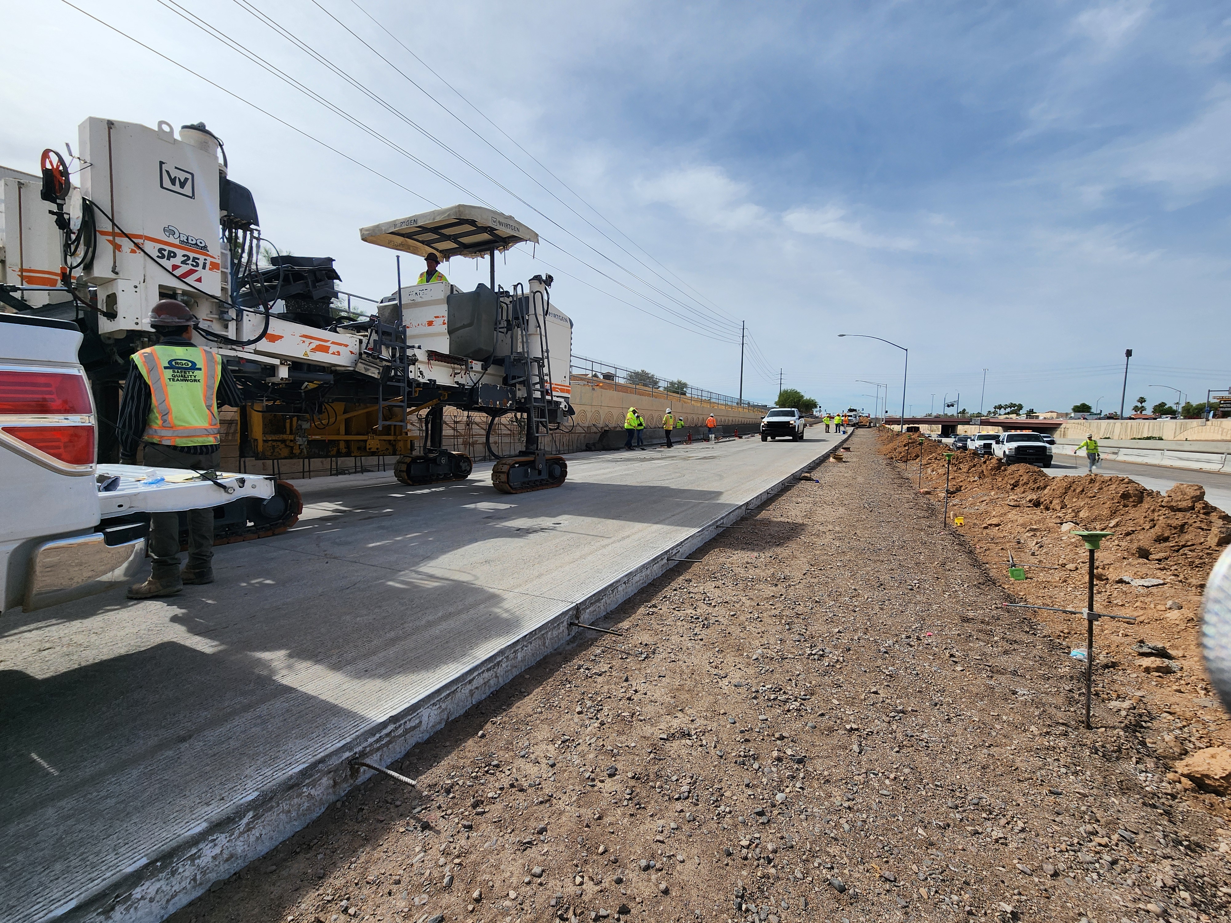
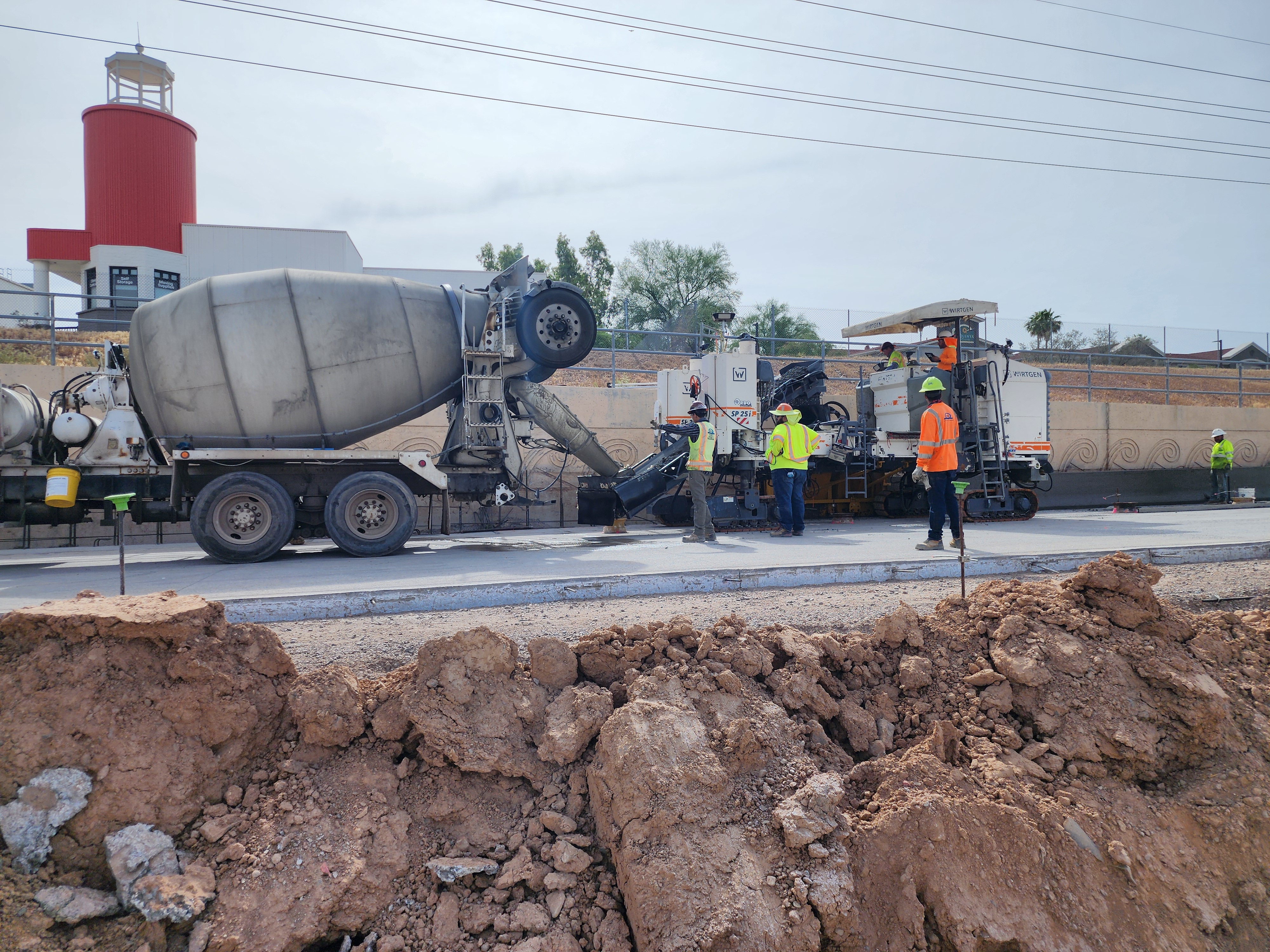
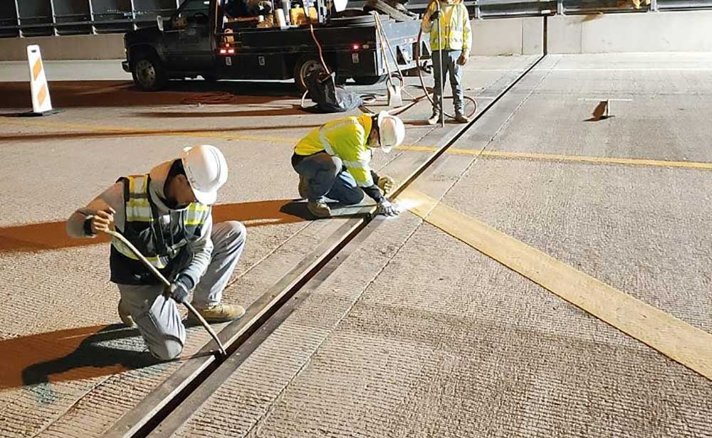
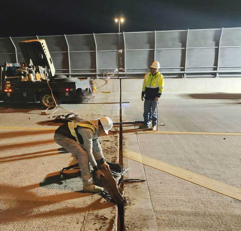
What is Diamond Grinding?

Diamond Grinding is a technique for preserving and rehabilitating the concrete pavement surface of a highway, which also helps reduce tire noise.


Benefits of Diamond Grinding

Diamond grinding concrete pavement has several benefits compared to a rubberized asphalt overlay. While both rubberized asphalt and diamond grinding provide noise reduction benefits, diamond grinding is a more sustainable and cost-effective solution. A diamond ground surface has a service life of approximately 30 years, compared to a service life of rubberized asphalt of 10-15 years, and also requires less ongoing maintenance. A diamond ground freeway surface stays consistent over time, whereas rubberized asphalt wears down, creating an uneven ride and increased noise levels. Noise levels have not been shown to increase over time on freeways treated with diamond grinding.


How Diamond Grinding Works - Infographic


Diamond Grinding Pilot Program

The pilot program was initiated in 2020 by the Maricopa Association of Governments (MAG), in partnership with ADOT, to explore the use of concrete surface treatments as a more cost-effective, long-term alternative to replacing the aged rubberized asphalt overlay on much of the Regional Freeway System in Maricopa County, which had exceeded its useful life. The cost associated with replacing and maintaining rubberized asphalt was estimated at $1 billion between 2020 and 2029.

Following the three-year pilot program, in October 2023 the diamond grinding program was expanded for use on all feasible projects in the Regional Freeway System in Maricopa County by the Maricopa Association of Governments (MAG) Regional Council.

The findings of the pilot program determined that diamond grinding outperforms rubberized asphalt in nearly all criteria, including long-term ride quality and life-cycle cost, while reducing traffic noise.

Diamond grinding is projected to save millions of dollars in pavement-rehabilitation costs and free up funding for future freeway improvements.

The long-term performance of diamond grinding on Valley Freeways will continue to be assessed as part of the expansion of the program.


pavement that has been diamond grinded
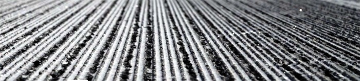
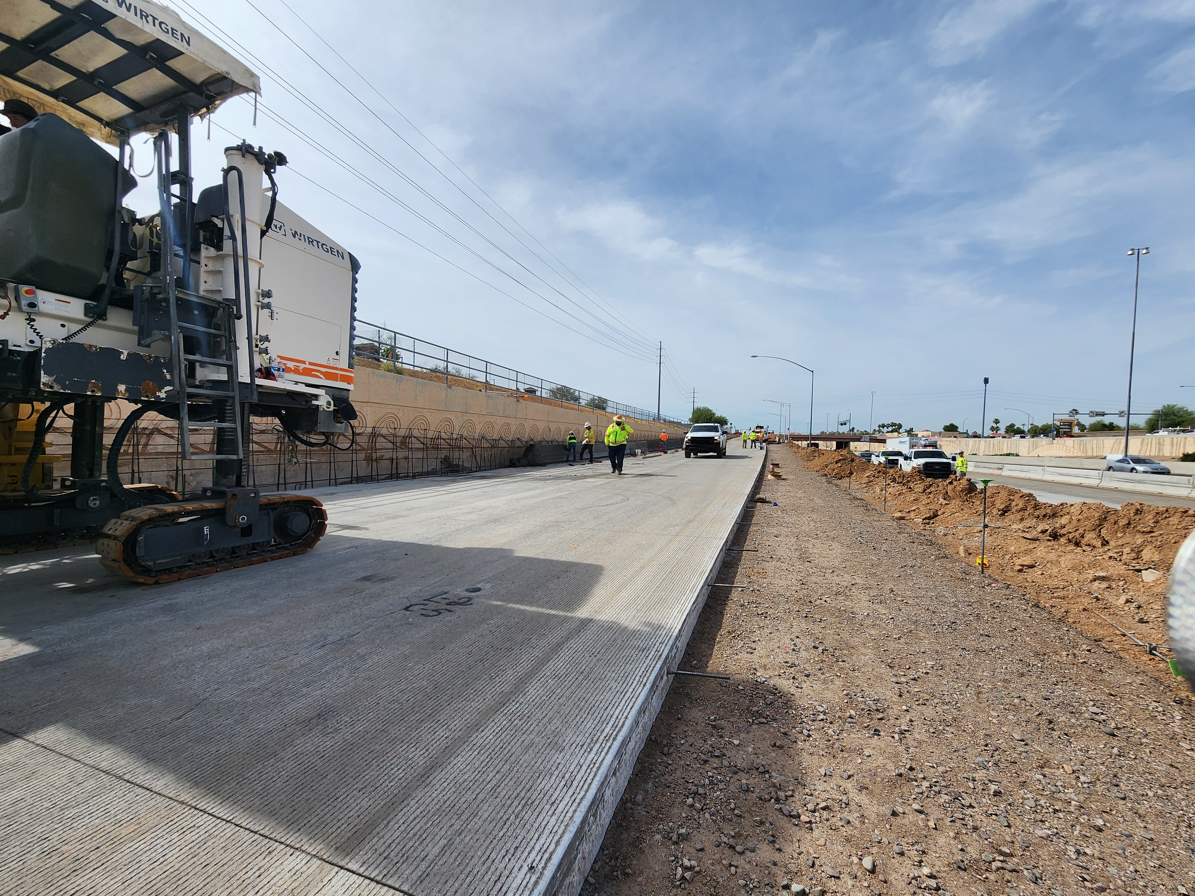
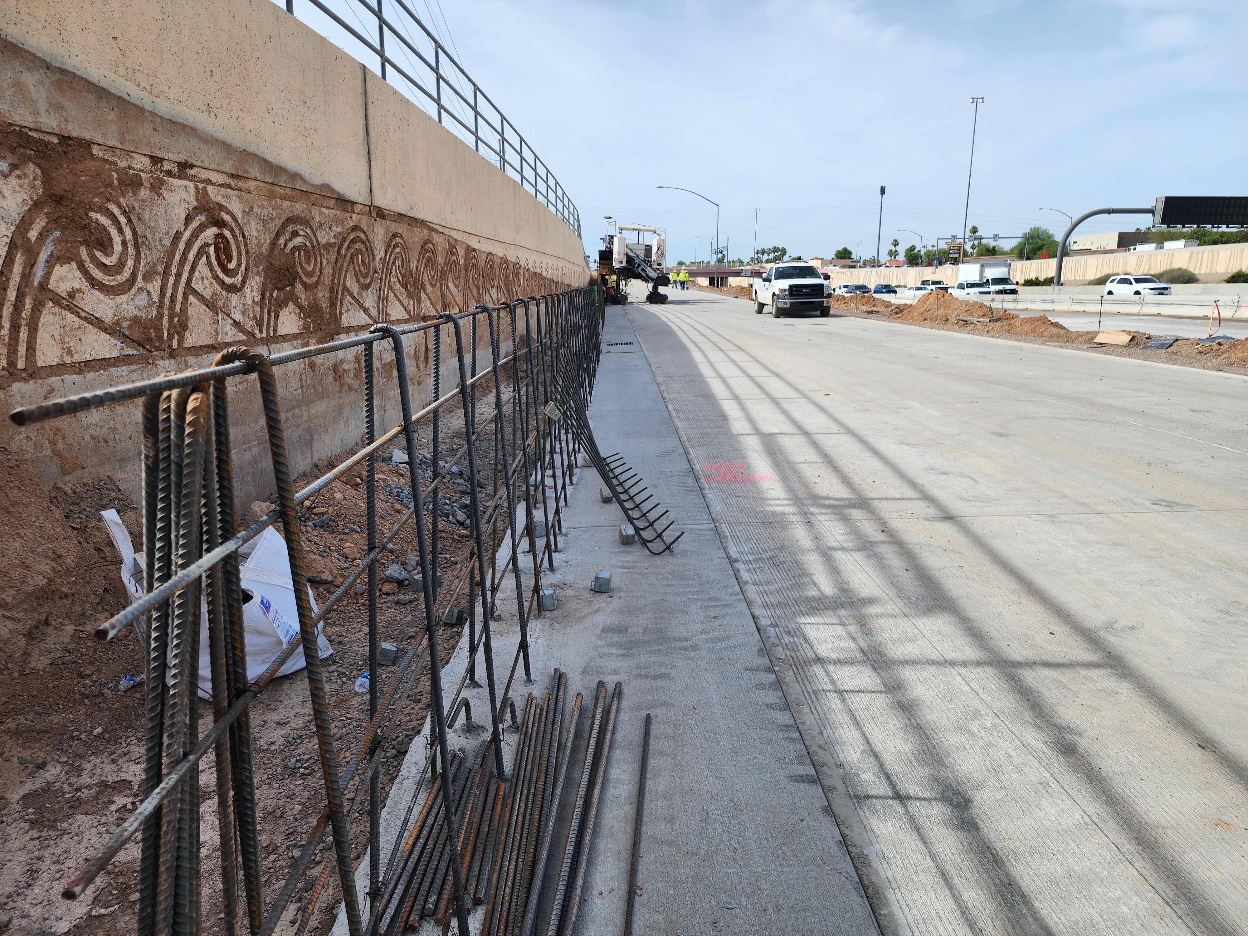
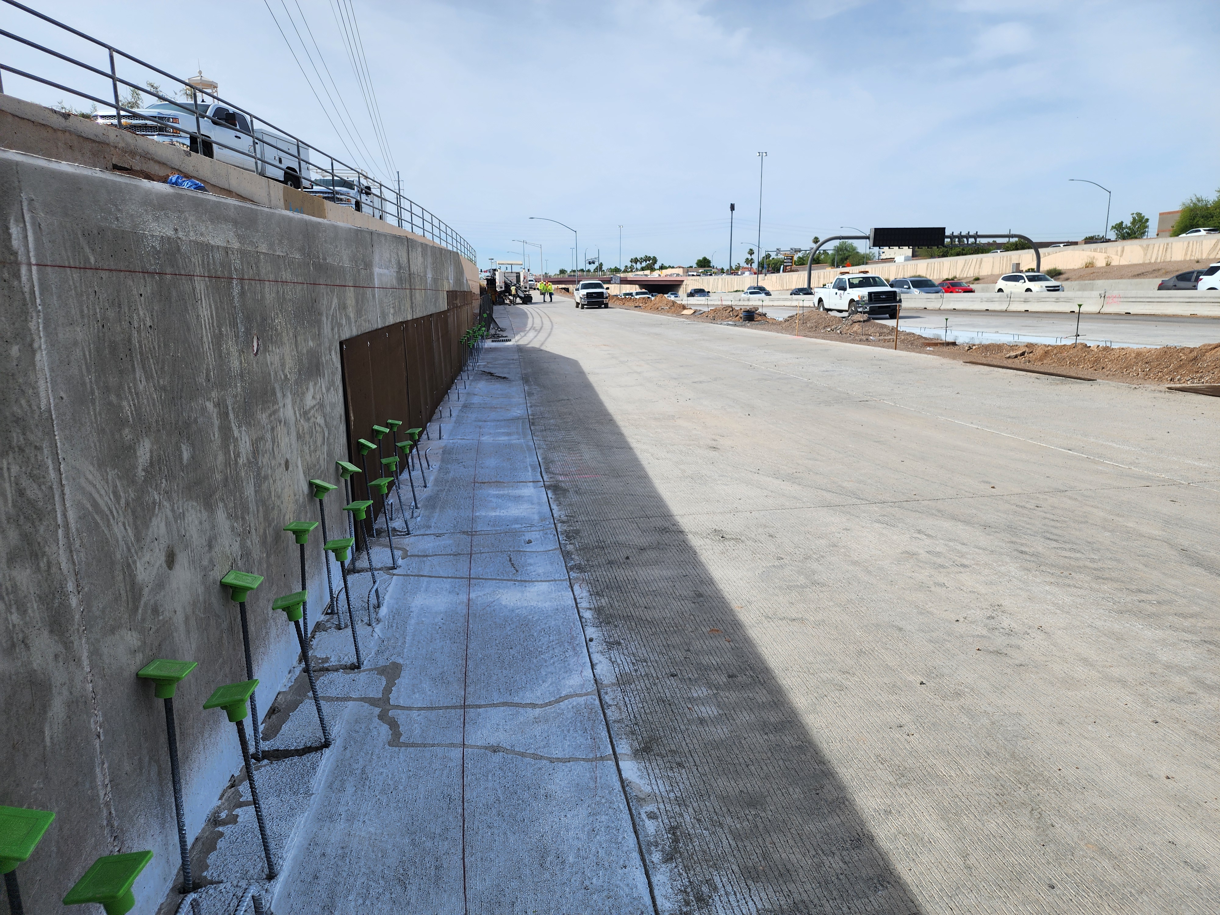
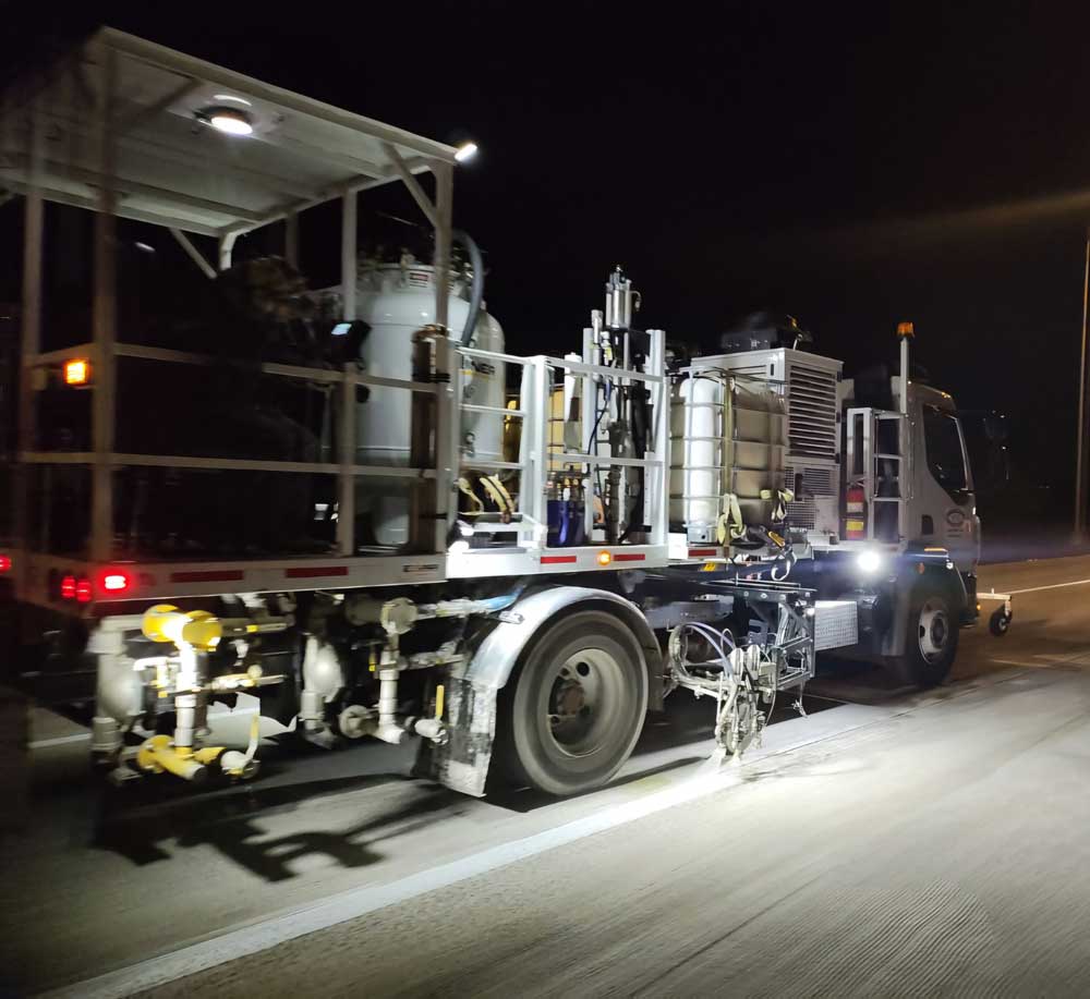
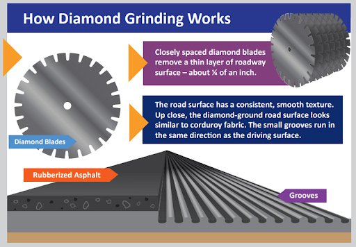
Closely spaced diamond blades remove about ¼ of an inch of the roadway surface, providing a consistent and smooth texture that resembles corduroy fabric. The small groves run in the same direction as the driving surface.


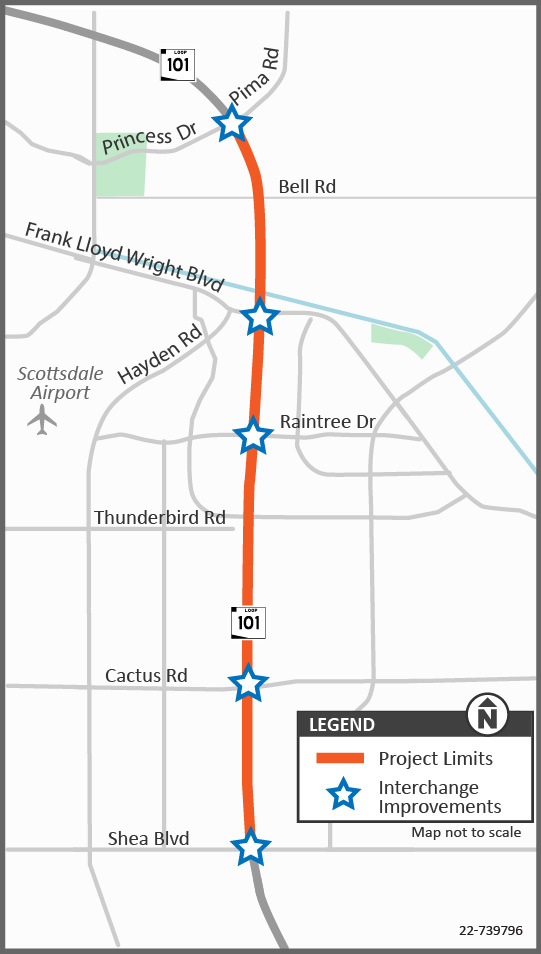
Where will diamond grinding be used?

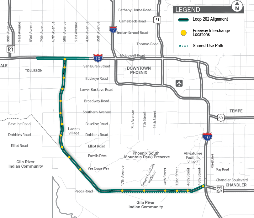
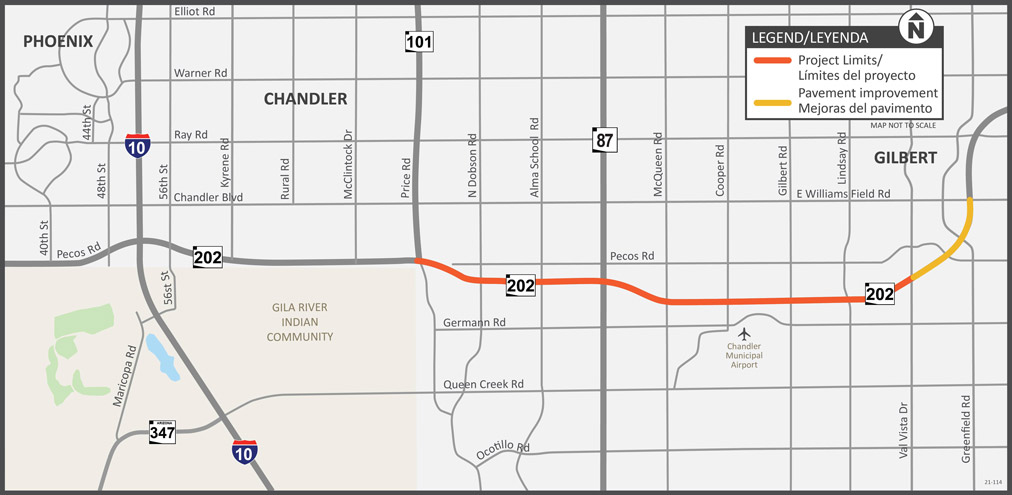
Diamond grinding will be used on new pavement rehabilitation projects where feasible. Diamond grinding requires a concrete base surface and can’t be used on freeways in Maricopa County that have an asphalt base, such as Interstate 10 between SR 85 and Verrado Way, the Loop 202 South Mountain Freeway and I-17 north of Anthem Way. Other factors, such as the condition of the existing concrete, go into the determination of whether diamond grinding or rubberized asphalt is most appropriate.


Questions or comments?

...

ADOT welcomes your questions or comments about diamond grinding:

  • Phone: ADOT Project Information Line at 855.712.8530
  • Email: [email protected]
  • Mail: ADOT Communications, 1655 W. Jackson Street, MD 126F, Phoenix, AZ 85007

I-17 Happy Valley Road to SR 74 Pavement Project

I-17 Happy Valley Road to SR 74 Pavement Project

I-17 Happy Valley Road to SR 74 Pavement Project

I-17 Happy Valley Road to SR 74 Pavement Project

Overview

The Arizona Department of Transportation is initiating a project to repair the pavement on Interstate 17 from Happy Valley Road to State Route 74. The purpose of the project is to extend the life of the pavement and to improve safety and the driving experience on the roadway.

Project Elements

  • Removing the existing asphalt pavement and repairing existing concrete pavement
  • Diamond grinding existing concrete pavement to provide a smooth roadway surface
  • Making bridge deck pavement repairs
  • Replacing pavement markings, including lane line stripes, and other miscellaneous work

Project Area


I-17 HV to SR 74


What to Expect

  • Work will require overnight and weekend lane restrictions. Full freeway closures will also be necessary.
  • ADOT will provide advance notice of restrictions and closures to email subscribers and on the project website.

Project Schedule

Construction began May 2024 and is expected be completed in the spring 2025. 

Schedule subject to change based on weather or other unforeseen factors.

Project Photos

men working on a bridge

Deck joint replacement work for the I-17 Happy Valley Road to SR 74 Pavement Project

men working on a bridge

striping truck on highway at night

Striping truck on I-17

striping truck on highway at night

Stay Informed

...

 Subscribe to receive project updates and traffic alerts.

Submit questions and comments or request information in any of the following ways:

  • Phone: ADOT Project Information Line: 855.712.8530
  • Email: [email protected]
  • Mail: ADOT Communications, 1655 W. Jackson St., MD 126F, Phoenix, AZ 85007