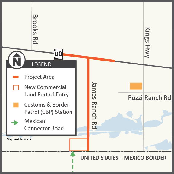
The Arizona Department of Transportation (ADOT) is currently in the design phase for a new connector road between State Route 80 and the planned new Douglas Land Port of Entry for commercial vehicles, which will help streamline commercial truck traffic flow between the U.S. and Mexico.
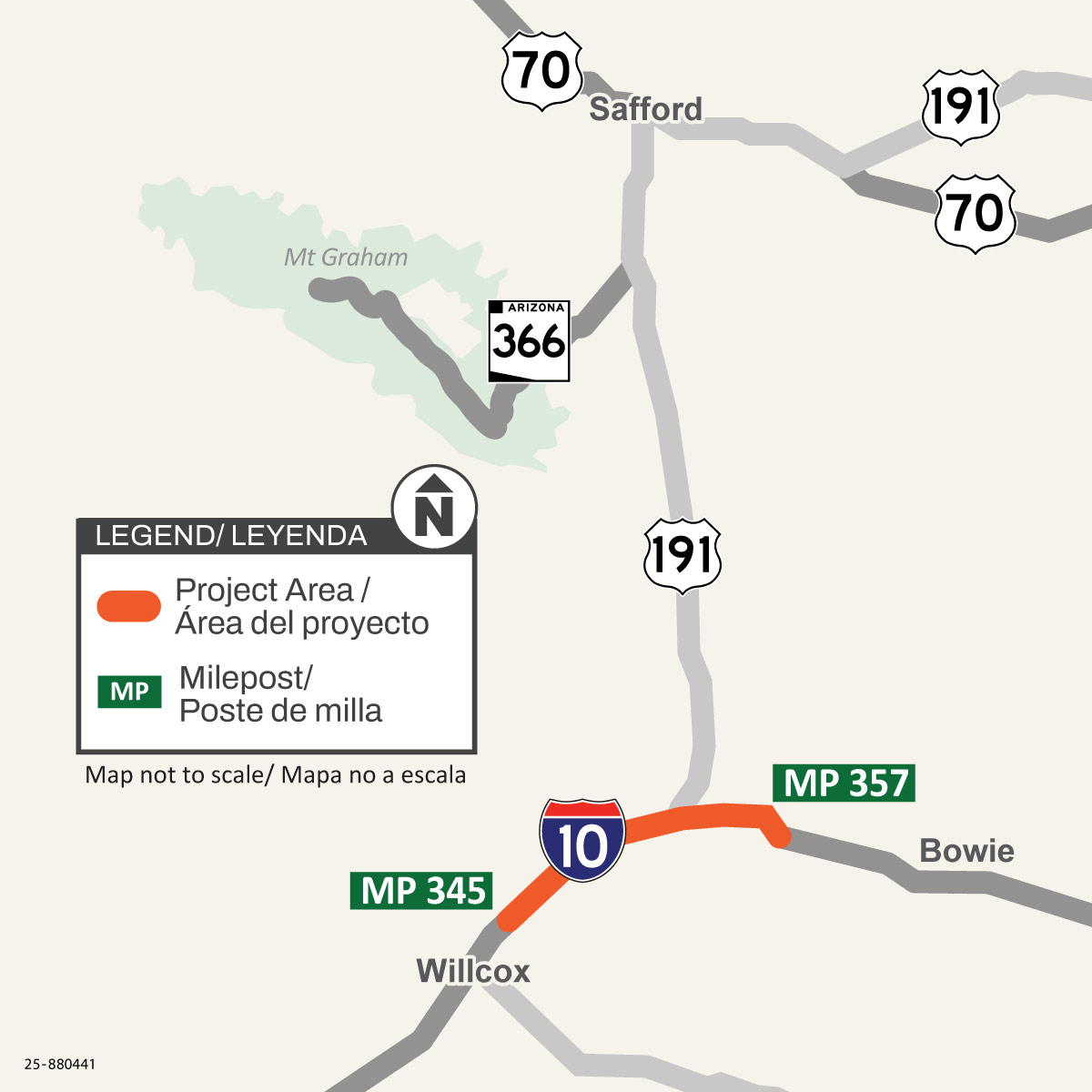
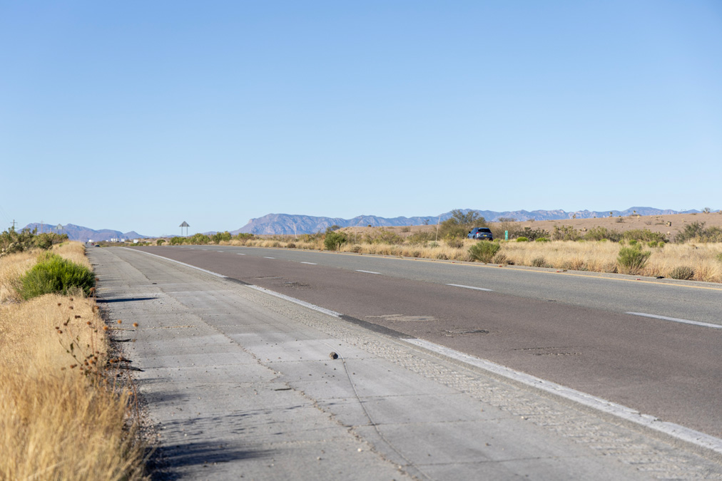
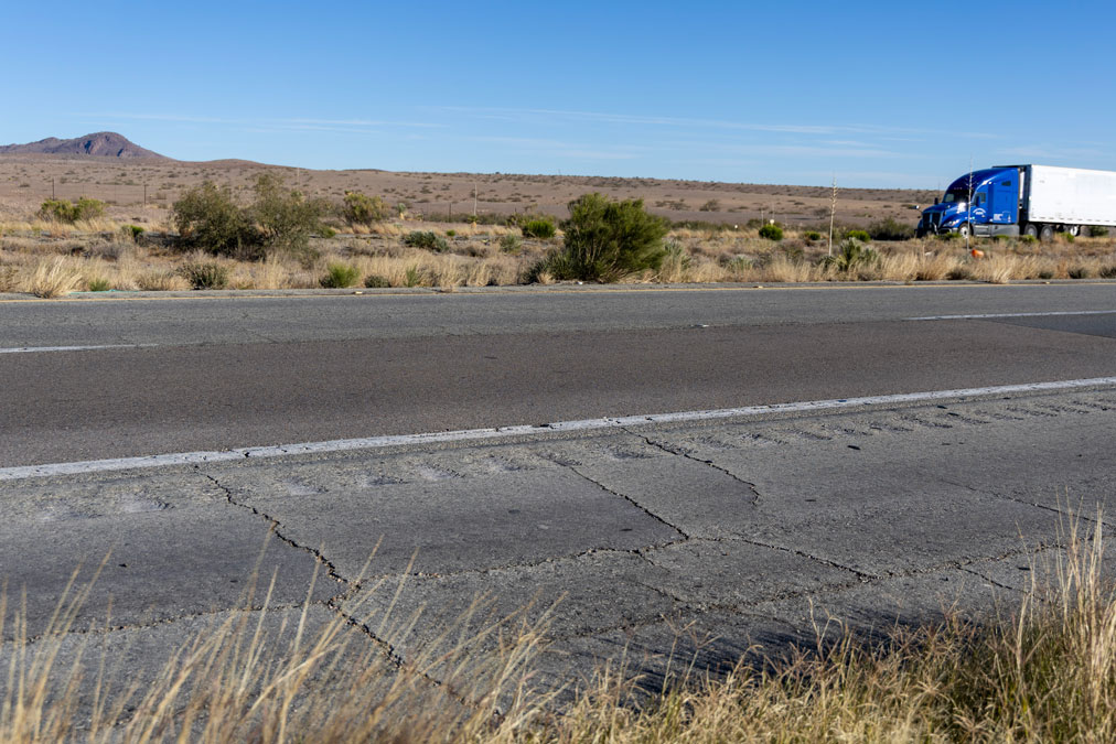
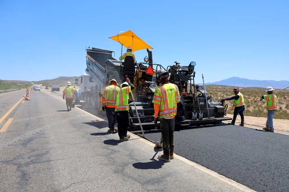
The Arizona Department of Transportation is conducting a pavement rehabilitation project on east- and westbound Interstate 10 located between Willcox and Bowie (mileposts 345 to 357), to improve the roadway pavement condition.
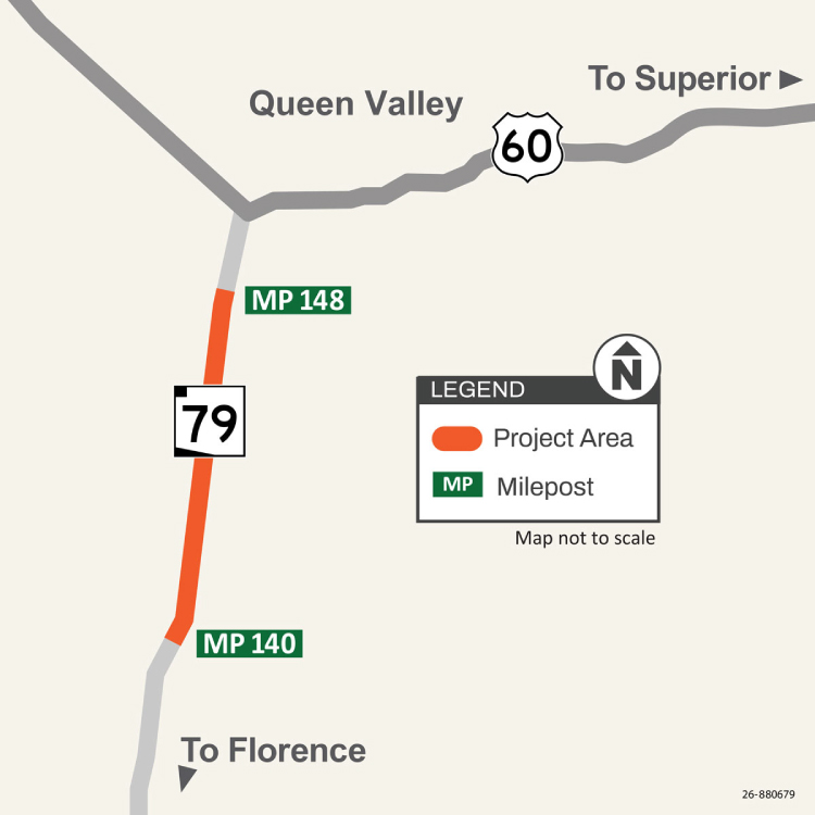
The Arizona Department of Transportation is constructing passing lanes on north- and southbound State Route 79, north of Florence (milepost 140 to 148) in Pinal County. Drainage and guardrail improvements, new pavement markings and other related work will also be completed.
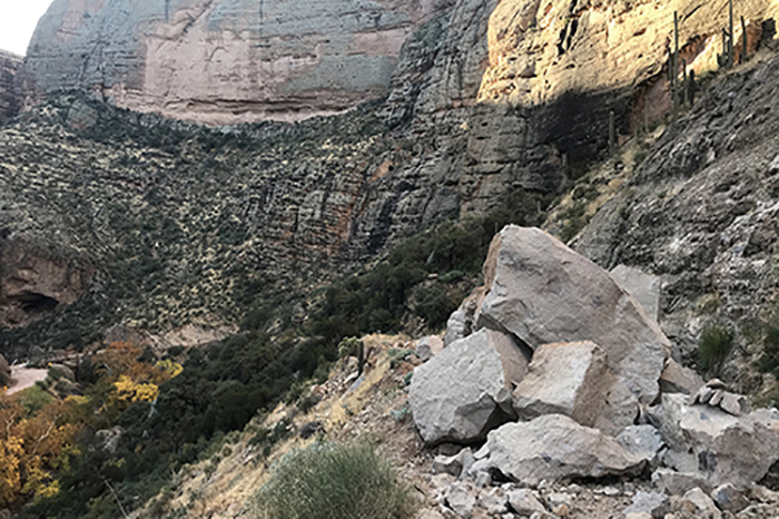
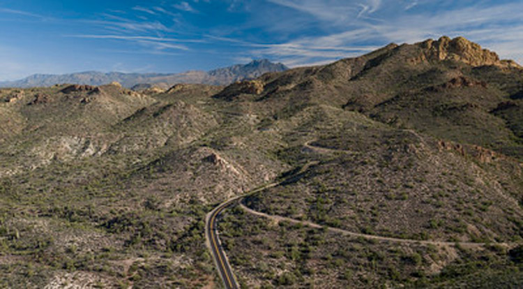
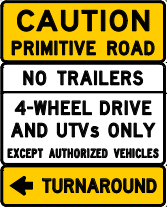
The 5-mile unpaved section of State Route 88 (Apache Trail) from Fish Creek Vista (milepost 222) to milepost 227 near Reavis Trailhead Road has reopened.
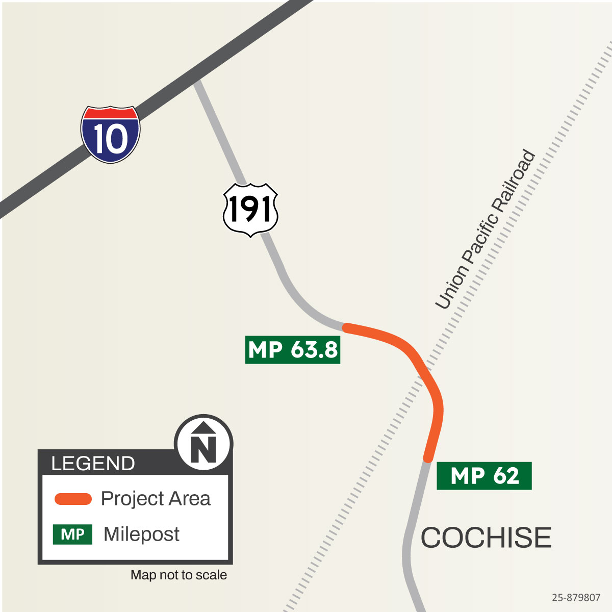
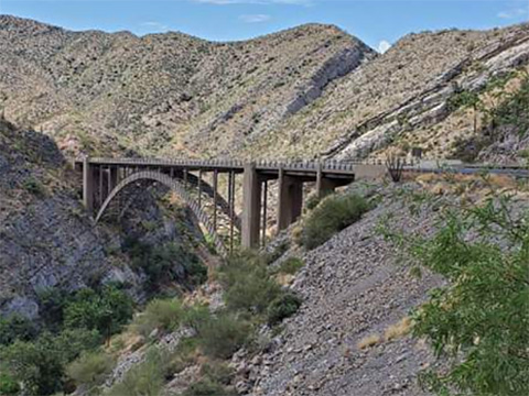
The Arizona Department of Transportation is replacing the Cochise Railroad Overpass Bridge on US 191 between mileposts 62 and 63.8, near Cochise. Construction on this project began in December 2025 and is expected to continue through spring 2028.
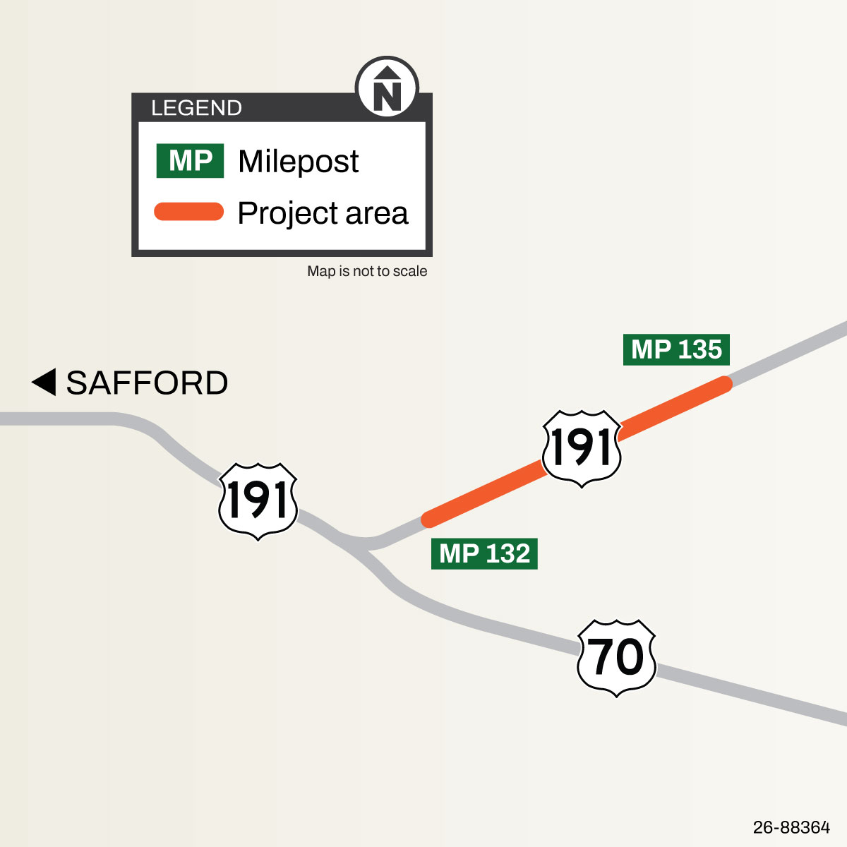
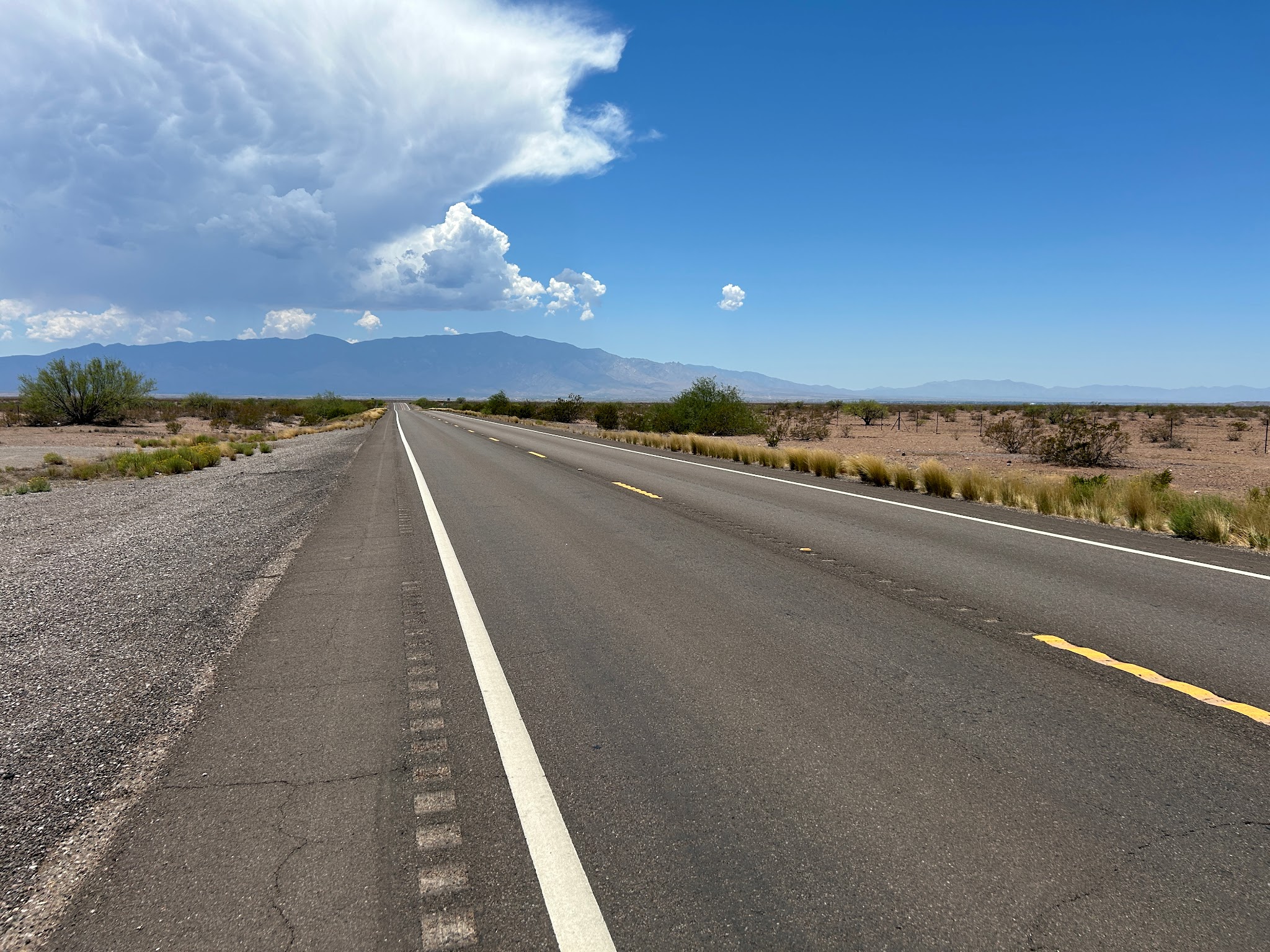
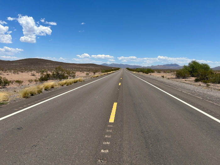
The Arizona Department of Transportation anticipates beginning a project in summer 2026 to add passing lanes on north - and southbound US 191 between mileposts 132 and 135 in Graham County.
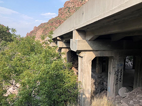
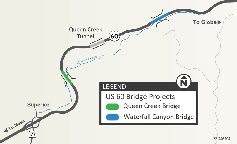
The Arizona Department of Transportation is working on a project to construct two bridges on US 60 just east of Superior, the Queen Creek Bridge and the Waterfall Canyon Bridge.
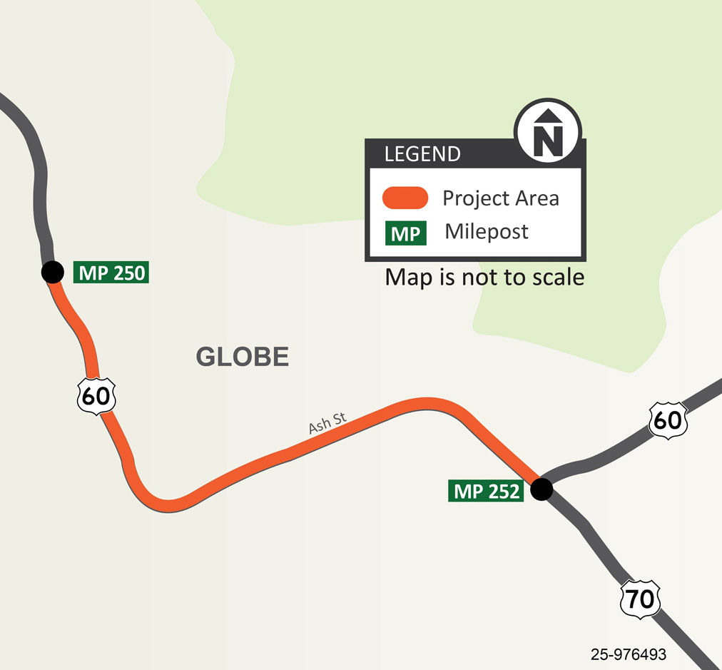
The Arizona Department of Transportation is conducting a pavement rehabilitation project on US 60 between Santee Street (milepost 250) and US 70 (milepost 252) in Globe.
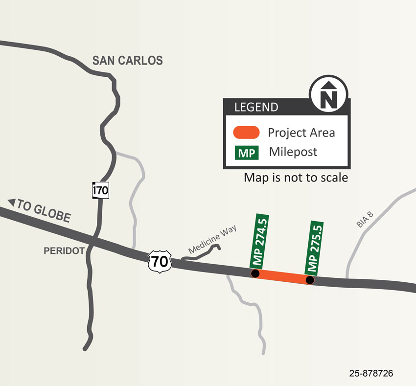
The Arizona Department of Transportation is constructing a new passing lane on eastbound US 70 between mileposts 274.5 and 275.5 within the San Carlos Apache Tribe community.
