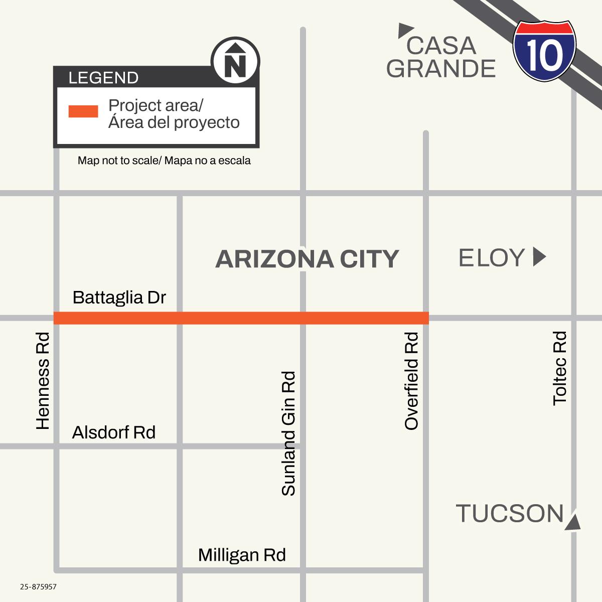
The Arizona Department of Transportation in partnership with Pinal County began the Battaglia Drive shoulder widening project between Henness and Overfield roads in June 2026. The purpose of the project is to construct a wider shoulder to help improve mobility along the corridor.
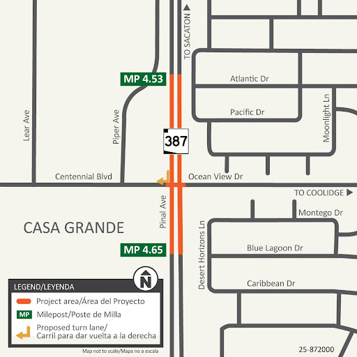
The Arizona Department of Transportation in partnership with the City of Casa Grande has completed a project to install a traffic signal at Centennial Boulevard and Pinal Avenue (State Route 387). Additional improvements included: curb ramps for pedestrian accessibility, a right-turn lane for southbound to westbound traffic, and other related items.
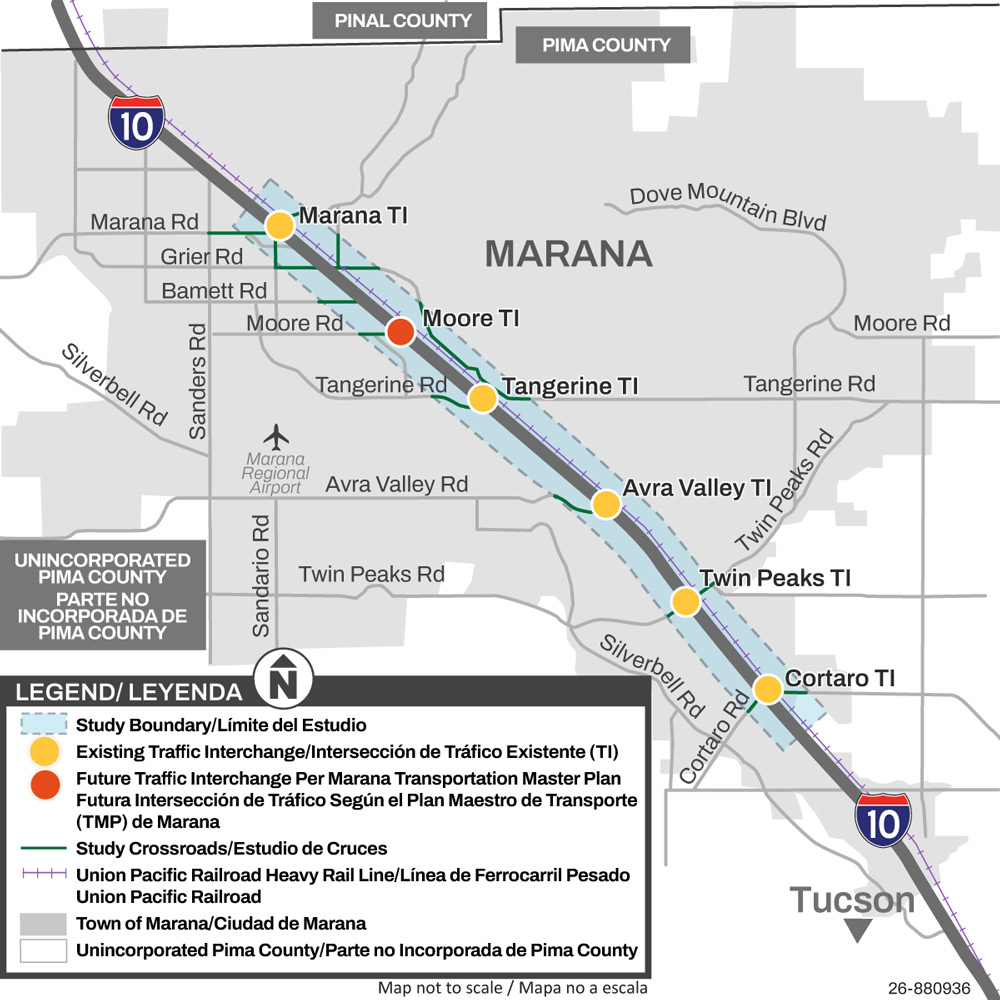
The Arizona Department of Transportation is conducting a traffic circulation study along Interstate 10 within Pima County. The objective of this study will determine the best and most cost-effective options for reducing traffic delays and congestion on Interstate 10 at Marana Road and Cortaro Road including all intersections in between.
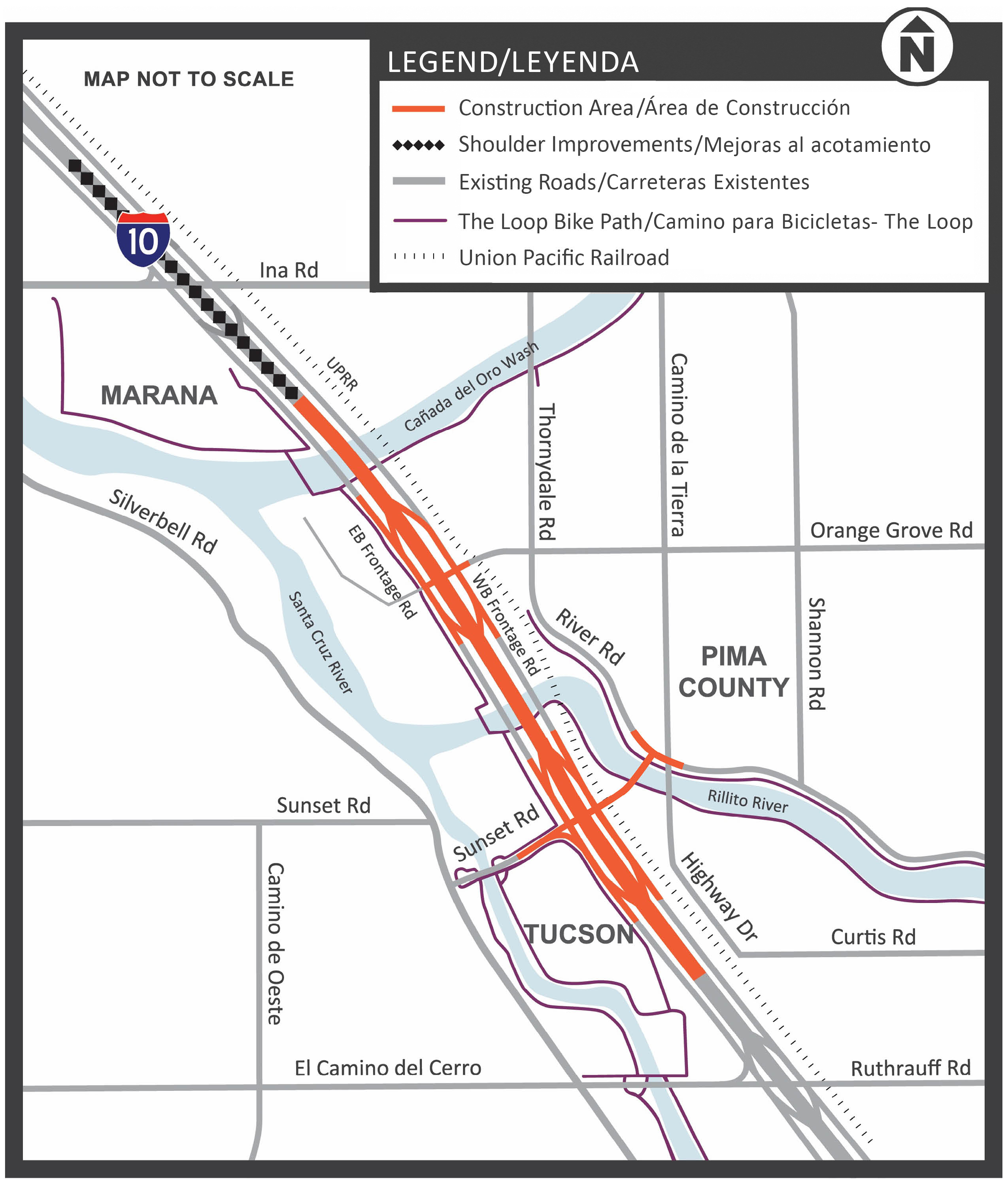
The Arizona Department of Transportation and the Federal Highway Administration (FHWA) completed a project to improve safety and traffic flow on I-10 between the Ina Road and Ruthrauff Road interchanges in Tucson.
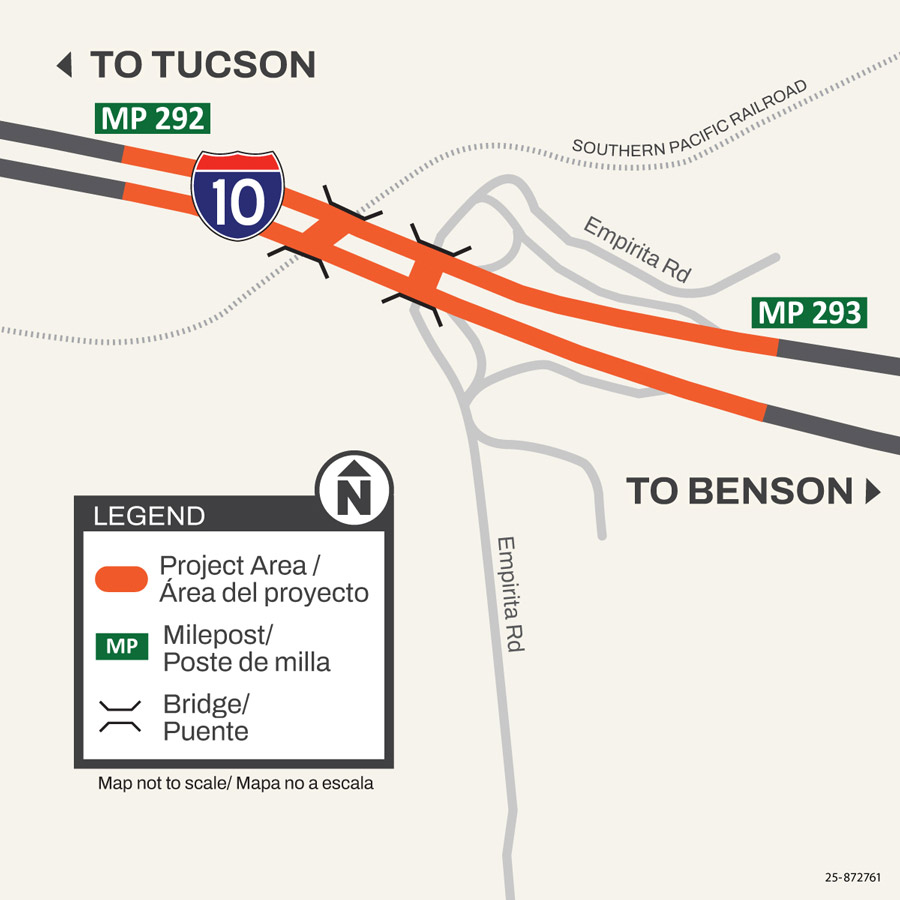
The Arizona Department of Transportation began the Interstate 10: Amole Interchange and Union Pacific Railroad Bridge Rehabilitation Project in November 2025, and construction is expected to continue until fall 2026.
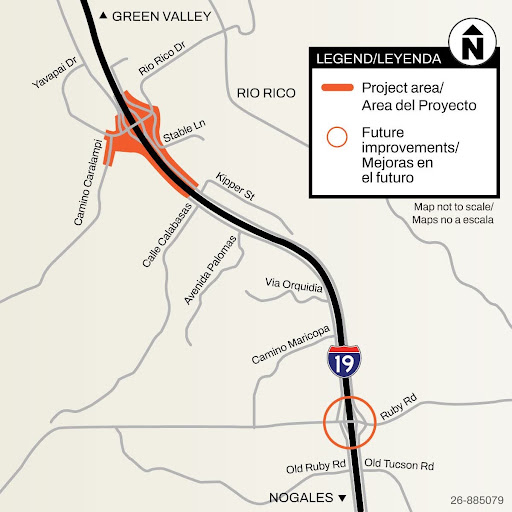
Santa Cruz County, in partnership with the Arizona Department of Transportation, is in the design phase for a local project to make overall improvements to Interstate 19 frontage roads between Ruby Road and Rio Rico Drive.
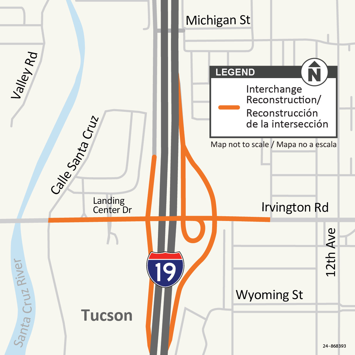
The Arizona Department of Transportation started construction on the Interstate 19 and Irvington Road interchange in July 2026. The project will reconstruct the interchange to increase capacity and enhance safety by widening Irvington Road to three lanes in each direction and adding lanes to the I-19 on-ramps.
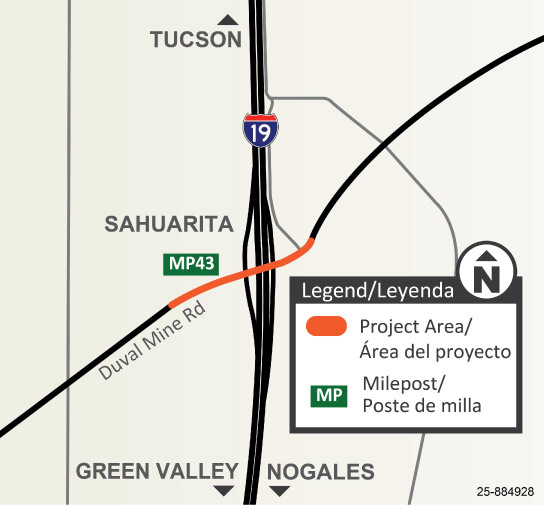
The Arizona Department of Transportation is tentatively scheduled to begin a project in fall 2026 to improve the Duval Mine Road bridge over Interstate 19 in Sahuarita. This project will improve the roadway by creating a smoother driving surface on the east end of the Duval Mine Road bridge.
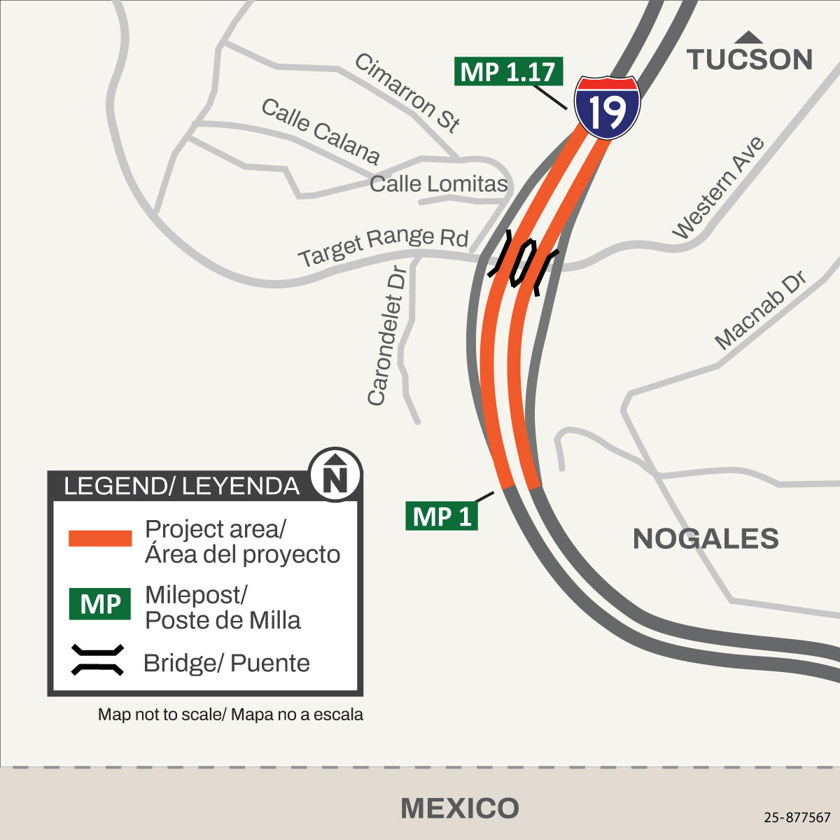
The Arizona Department of Transportation began the Interstate 19: Western Avenue/Target Range Road Bridges rehabilitation project in February 2026. The purpose of the project is to maintain the structural integrity of the two existing bridges.
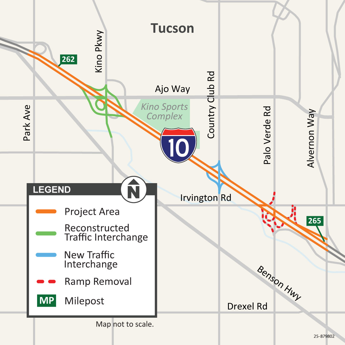
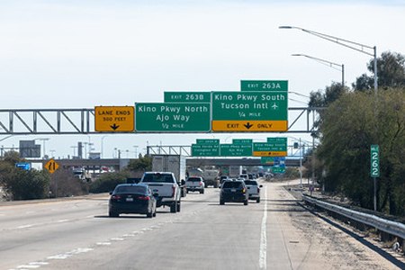
The Arizona Department of Transportation is making improvements to Interstate 10 in Tucson. The Interstate 10: Kino to Country Club project is the first project to come out of the Interstate 10 and State Route 210 Transportation Design Concept Report (DCR) that was completed in 2020.